Alert
Alerts
In the footsteps of Gaudentius
Description
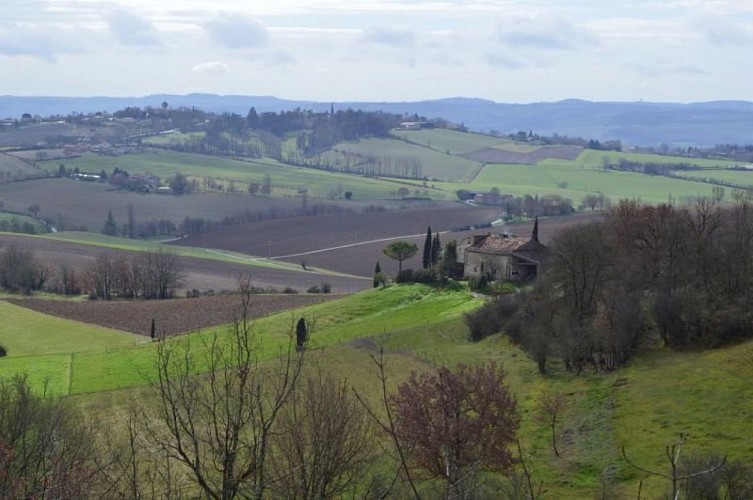
Take the Gaudentius trail and be amazed by the exceptional views from the top of the valleys. Follow the old Lavaur road that once connected Lautrec to Ambres. Continue to the limestone site of Prône, which dates back to a distant past.
Follow the meadow next to the community hall where the children's outdoor playground is located. At the end, turn left to pass between the houses. Take the dirt path that runs alongside the fields and climb into the woods. At the top, turn right. Continue straight on the path, then descend the road to the D15.
At the bottom, turn left and walk about a hundred meters, then turn left to take the path through the woods that will lead you to the footbridge. Cross the stream and climb back into the woods via the path. When you reach the D15, cross it and climb between the field and the undergrowth. Continue until you reach the road.
When you reach the road, walk along the edge for 200 meters and take the second path on the left, "Borie-courte". Go straight, pass the picnic tables, and descend the path to "Brandes". At the fork, turn left and immediately right towards Saint-Martin.
At the Saint-Martin de Casselvi church, cross the departmental road and leave the road that goes to the church. Continue straight and leave the road that goes to Fiac. After 500 meters, take "Le Planet" and continue to reach the Prône quarries.
Take the second path on the left to pass through the quarries and reach the road. Pass "En Salinier" and go left onto the pavement. Then take the grassy path and descend. Pass by a lake and continue until you reach the houses.
After the houses, reach the road, cross it, then descend to return to the starting point
Technical Information
Altimetric profile
Starting point
Additional information
Public transport
By bus: route 705 (Albi -Graulhet Lavaur) - stop Eglise.More information on liO-occitanie
Is in the midst of the park
The national park is an unrestricted natural area but subjected to regulations which must be known by all visitors.
Labellisé FFRandonnée® Tarn
Cet itinéraire est labellisé FFRandonnée®. Il fait partie du réseau tarnais de chemins validé et reconnu par la Fédération Française de la Randonnée et les partenaires du Tarn comme de qualité supérieure.
Advised parking
Car park at St Gauzens town hall.
Access
800 meters from the center of Briatexte
Arrival
Same place as the start
Ambiance
In 1270, Amaury, Viscount of Lautrec and Baron of Ambres, decided to establish a bastide. He chose an uncultivated area by the Dadou River, naming it Saint-Gauzens in memory of Sanctus-Gaudentius, a young shepherd from around 400 AD who was beheaded by the King of the Visigoths. The new bastide gained such renown that the King of France, Philippe Le Bel, sent the seneschal of Carcassonne to found another bastide nearby to reaffirm his power.Five kilometers northeast of Saint-Gauzens, you can visit the Saint-Pierre de Monestiés church, which features a superb Romanesque portal with 12th-century leafy capitals
Departure
Community hall, opposite the town hall of Saint-Gauzens
Data author
