Alert
Alerts
Suivez le coq - Follow the rooster
Description
This urban trail offers the walker various aspects of the city and evokes the rich historical past of the Gaillac town.
This route, in addition to being marked in yellow, benefits from signage in the historic center.
From the parking lot at Place Saint-Michel in front of the church, take the small Rue Saint-Michel that runs alongside the abbey. Pass in front of the Hôtel de Paulo and follow Rue de la Portanelle to the right. Pass along the abbey garden and descend to the right to the Tarn, following the banks.
At the end of the street, go straight onto Rue Saint-Roch, then head right on a sandy path along the river. At the end of the path, climb to the left towards the road.
Turn left, passing the tennis courts and then the stadium. Go behind the swimming pool, then turn right onto Rue Pierre de Coubertin and again right onto Rue d'Huteau. Cross Avenue Dom Vayssette and take the Impasse Saint Vincent de Paul along the fire station.
On Rue de Pouille, opposite an old garage, turn left. Walk for 10 meters, then turn sharply right onto a small path. Cross Rue d'Alger and continue straight up Rue des Lombards until number 36.
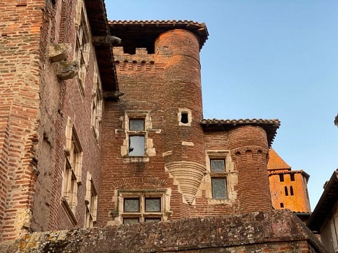
Turn right onto another small path until Rue de la Marne, then turn left up to Rue de Verdun and then to Boulevard Gambetta; cross it. Turn right, then immediately left and again right at Place Émile de Vialar. Pass near Saint-Pierre Church. Cross Rue Portal and continue straight on Rue Élie Rossignol. Pass by the Hôtel Pierre de Brens (13th – 16th centuries).
At the top of the alley, continue straight and turn left towards the Contrescarpe Baudin. Turn right onto Rue d'Iéna, then descend left on Rue Hippolyte-Rigal.
At the parking lot of the Dalle des Spectacles, cross to the alley of Trépadou. Turn right onto Rue Philippe Thomas, then left onto Rue du Tison. At the end of the street, descend left on Rue de la Grand-Côte. From the square, climb back towards the abbey via Rue Côte du Moulin. Take the stairs to return to the parking lot.
Technical Information
Altimetric profile
Starting point
Additional information
Public transport
By bus: route 702 (Albi - Gaillac- Lisle sur Tarn-Rabastens - St Sulpice) or 704 (Castres - Gaillac Graulhet)More information on liO-occitanie (French only)Bus agglomération Gaillac : line Transversale or line 1 : More information Bus de villeBy train: SNCF TER Toulouse-Albi or Toulouse-Aurillac line - stop at Gaillac station2km from the starting point.More information on SNCF
Is in the midst of the park
The national park is an unrestricted natural area but subjected to regulations which must be known by all visitors.
Labellisé FFRandonnée® Tarn
Cet itinéraire est labellisé FFRandonnée®. Il fait partie du réseau tarnais de chemins validé et reconnu par la Fédération Française de la Randonnée et les partenaires du Tarn comme de qualité supérieure.
Advised parking
Few parking spaces in Place St-Michel opposite the abbey. We recommend parking around the auditorium, 500m from the start
Access
3 km from exit No. 9 on the A68 highway, take the direction of Gaillac city center, then head towards Saint-Michel Abbey.
Arrival
Same place as the start
Ambiance
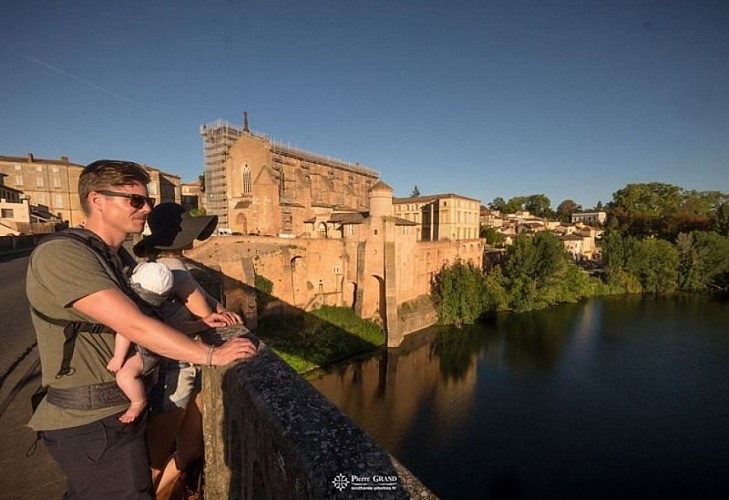
From Saint-Michel Abbey, the route descends towards the river to follow the banks of the Tarn, making the city seem far away. The Hortalisse neighborhood, with its maze of paths winding through gardens, tells the story of the market gardeners who supplied the surrounding markets until the mid-20th century. After crossing the historic center, the trail heads towards the Thomas embankments (former filled-in and landscaped ditches from the 19th century), before descending again towards the Tarn and its old port, which was very prosperous until the advent of the railway.
Departure
Place Saint-Michel, Gaillac
Data author
