Alert
Alerts
Téroundel path (Sentier du Téroundel)
Description
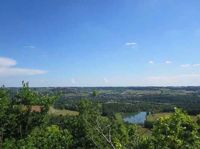
A peaceful walk along the hillside with a beautiful viewpoint opening up to the Cérou valley and the city of Cordes. The oaks lining the path provide light and pleasant shade.
The walk starts in front of the castle entrance, heading into the countryside along the beautiful tree-lined avenue recently named "Lice des créneaux." You will see several dovecotes, including the one on the right at the large farm "La Peyrière." Continue straight on the path through the fields.
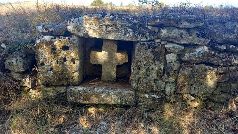
At the end of the path, before turning right onto the Chemin des Plaideurs, move towards the left to discover a beautiful white stone cross hidden in the embankment. Descend the Chemin des Plaideurs and take the small hillside path to the right, which overlooks a private agricultural path. A bit further on, follow this agricultural path for 40 meters. Then, turn left onto the small path that descends to the bottom of the hill. Along your route, you will pass an olive grove and catch glimpses of the striking profile of Cordes-sur-Ciel through the trees.
This relatively flat and shaded area offers you the chance to take a break before starting the return journey to the village. Follow the small path that climbs halfway up the slope. You will come across numerous installations for olive cultivation. In the distance, you will see the Château de Mouzieys and the arched bridge. This rather unique bridge was built 150 years ago to support the new road between Cordes-sur-Ciel and Mouzieys-Panens.
When you reach the road, if you wish to finish your circuit directly, continue straight and then turn left at the intersection to return to your starting point in front of the castle.
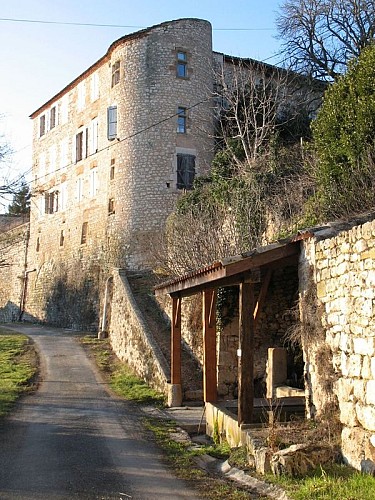
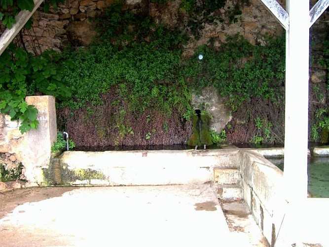
Discovery detour: from point 4, turn right to take the road towards Térondel, then the small path to admire the magnificent panorama of Cordes and the Cérou valley at the southern end of the plateau (about 1 km - 15 min round trip). Returning on your steps, continue a few meters towards the village, then turn left to arrive below the castle. There you will find the Thouron washhouse. Its three clear water basins will allow you to refresh yourself before returning to the starting point via the stony path that runs along the castle
Technical Information
Altimetric profile
Starting point
Additional information
Is in the midst of the park
The national park is an unrestricted natural area but subjected to regulations which must be known by all visitors.
Labellisé FFRandonnée® Tarn
Cet itinéraire est labellisé FFRandonnée®. Il fait partie du réseau tarnais de chemins validé et reconnu par la Fédération Française de la Randonnée et les partenaires du Tarn comme de qualité supérieure.
Advised parking
Parking on the square in front of Mouzieys château (town hall, toilets, water point).
Access
5 km north of Cordes sur Ciel. Take the D600 to the center of Les Cabannes, then turn towards Mouzieys-Panens via the D30.It is possible to join the Téroundel trail on foot from Cordes sur Ciel via the Lacapelle Sainte-Lucie Circuit (allow 1 hour / 5 km extra).
Arrival
Same place as the start
Ambiance
Local toponymy provides some insights into the geography: on the communal land register, the names Téroundel (the hill's name) and Térondel (point 4 on the map) appear. These names, common in the region, come from the Latin "turo," meaning height. This should not be confused with "Thouron," which comes from Occitan and refers to a place near a fountain or spring, such as the Thouron washhouse at the foot of the castle, which houses the rare and protected plant, Capillaire de Montpellier, also known as "Venus hair." Another washhouse is located at the end of the arched bridge. By crossing the road, you will also find old watering troughs.You will walk for a while on the Sentier des Plaideurs. Before the unification of the villages of Mouzieys and Panens (1810), the people of Panens would discreetly travel to Cordes along this path. Hidden from the villagers of Mouzieys by the embankment and crops, they would go to report minor disputes to the judge of Cordes.
Departure
Town Hall Square, Mouzieys-Panens
Data author
