Alert
Alerts
Three Lakes Trail - Sentier des trois lacs
Description
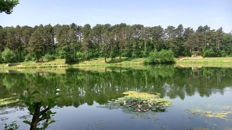
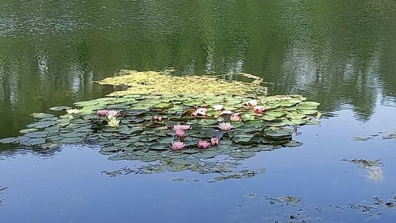
At the edge of Graulhet, discover the charms of the wildlife around Lake Nabeillou and the adjacent forest: squirrels, nightingales, dragonflies, butterflies, and water turtles, among others, will guide your walk. Also, enjoy the breathtaking views of the Graulhet countryside, with its rolling hills and vibrant colors.
From the parking lot, follow the gravel path up to a farm. Pass in front of the farm, then turn right into the housing development. Continue uphill for about 200 meters, then turn left towards the Notre-Dame-des-Vignes chapel. Facing the cemetery wall, turn left, then right at the corner. Pass to the left of the monument. Descend via a small road. At the road junction, turn right and reach an intersection.
Turn left into a downhill alley and reach a crossroads of paths. Ascend right on a gravel path. A lake is on the left. Reach a road and turn left until you reach a crossroads.
Turn left towards Souque and Vivier. Walk for about 150 meters, then turn right onto a grassy path towards Vivier. Reach a road and turn right for about 80 meters. -> To the right, off the trail, there is an option to visit Lake Miquelou (a 2.5 km round trip).
Turn left at Capelette, then left again at a road intersection. At the first crossroads, continue straight towards Saint-Paules and Les Escudiés. At the second crossroads, descend straight on a gravel path. Ascend straight on the path you took earlier. Continue straight to a road intersection.
Turn right. Pass Pradarié, then turn right onto a grassy path. Pass beside an orchard, then immediately turn left. Walk along the edge of fields and descend through a woodland.
At the bottom of the wood, on a path, turn left. At a crossroads under poplars, turn right. Follow along the right side of Lake Nabeillou and return to the starting point by crossing the dam.
Technical Information
Altimetric profile
Starting point
Additional information
Public transport
Free shuttle bus - line T2 St Pierre - La Bousquetarié.More informacion (in French only)
Labellisé FFRandonnée® Tarn
Cet itinéraire est labellisé FFRandonnée®. Il fait partie du réseau tarnais de chemins validé et reconnu par la Fédération Française de la Randonnée et les partenaires du Tarn comme de qualité supérieure.
Advised parking
Car park at Lac de Nabeillou.
Access
2 km from the center of Graulhet: follow the direction towards Briatexte-Giroussens (Avenue Charles de Gaulle). At the roundabout, continue on the D631A, still heading towards Briatexte-Giroussens. At the second roundabout, turn left and follow the signs to Lac de Nabeillou.
Arrival
Same place as the start
Ambiance
Lake Nabeillou, nestled in its green setting, is a delightful recreational area recently developed. In addition to hiking, other activities can be enjoyed here: BMX track, bike-cross, mountain biking, fishing, skate park, picnic area, and fitness trail. Indoor rock climbing and archery are available through local sports associations.Swimming is prohibited.
Departure
Lac de Nabeillou, Graulhet
Data author
