Alert
Alerts
Roman Trail
Description
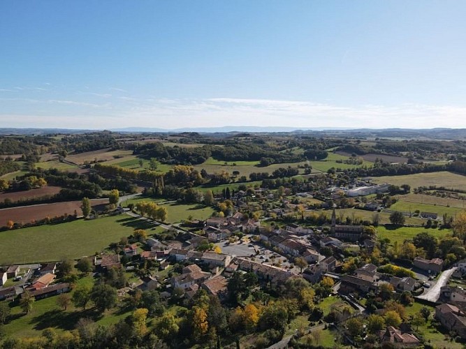
The Roman trail leaves from the center of the village of Lombers. The known history of this town lies between 1165 and 1633. Its origin dates back to the Celtic or Gallo-Roman era. There was a fortified castle at the height of the peak, allowing enemies to be seen approaching. At the northern base of the Pic, coming from Albi, the Roman road was divided into two parts, one meandering towards the castle, the other allowing access to the town via the PAPAGAY gate. It is also on the old Roman road the “cami Roumieu” that the Roman trail continues.Download the hiking sheet in PDF format
From the village square, head towards the town hall and continue the road, crossing the bridge to cross the Assou stream, and start climbing the Pic de Lombers by taking the second road on the right.
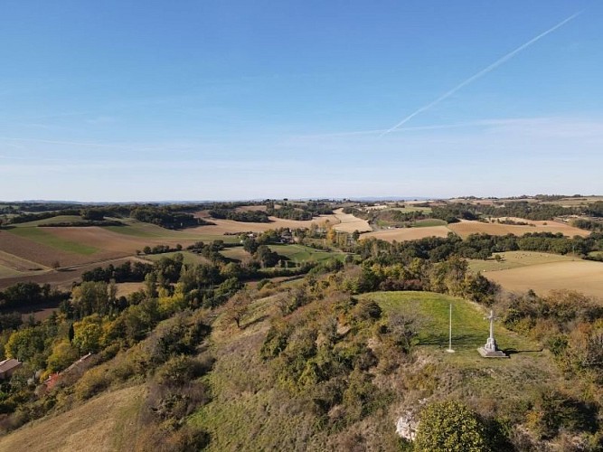
Passage near the Pic de Lombers cross, which recalls the existence of the fortified castle. Continue right.
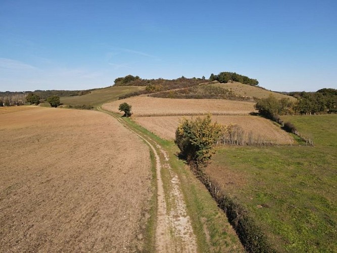
After a section on tarmac, turn right towards the place called Puech Rouge. The path runs along a wooded area.
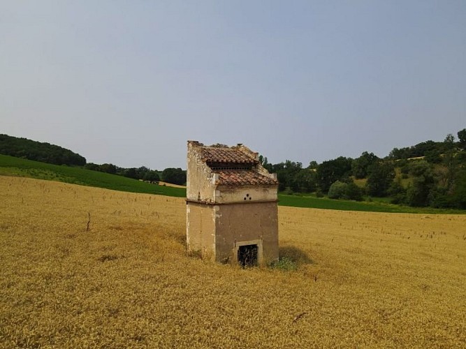
Arriving in front of a tarmac municipal road, turn left with on the left the “Pied de Mulet” type dovecote of Médale.
Turn at the Moulin d'Ambrozy, an authentic flour mill built before the 16th century and very nicely restored. Then join the greenway a few hundred meters further on the right towards Lombers.
Technical Information
Altimetric profile
Starting point
Additional information
Public transport
Lombers is served by bus line 705 Albi-Graulhet-Lavaur (A/R)Bus timetable line 705
Is in the midst of the park
The national park is an unrestricted natural area but subjected to regulations which must be known by all visitors.
Labellisé FFRandonnée® Tarn
Cet itinéraire est labellisé FFRandonnée®. Il fait partie du réseau tarnais de chemins validé et reconnu par la Fédération Française de la Randonnée et les partenaires du Tarn comme de qualité supérieure.
Advised parking
Town Hall Square
Access
17km from Albi (D612, D71, D41)28km from Castres (D83, D41)5km from Réalmont (D4)
Arrival
Same place as departure
Ambiance
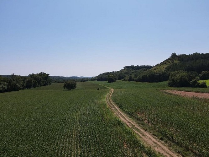
The territory of Center Tarn is located at the meeting between the Aquitain Basin and the Massif Central. It thus benefits from a relatively heterogeneous landscape entity.The Roman Trail is located in the town of Lombers. The commune is part of Albigensian; namely a natural agricultural region of different hills. The trail passes numerous relatively preserved dovecotes.
Departure
Town Hall Square, Lombers
Data author
