Alert
Alerts
Sentier des coteaux
Description
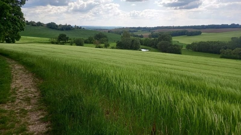
During this loop, starting from the village of Cestayrols, a great variety of landscapes consisting of vineyard hills, valleys, and sunflower fields will unfold before your eyes.During the tour, you will also discover the very picturesque and charming rural heritage, including dovecotes and washhouses that bear witness to the activities of our ancestors.
At the starting sign, on the village square, go straight up a small street, then turn right. Take a path winding through oaks and boxwood. Cross the D3 and continue straight on a stony path. About 1 km further, at a path intersection, climb right onto a grassy path and reach a fork.
Go right and continue straight. Arrive at a crossroads. Turn left onto a grassy path passing through fields. Cross the D3 again and take the road opposite. Leave the Théron road on your right and reach a bend. Take the path on the right; it leads to an intersection.
Go left until a fork.
Continue straight towards Lincarque. The path leads to the D1. Turn left towards Lincarque. -> Opportunity to visit the church
Take the road to the right until the Mas de Caussé (farmhouse). At the Mas, hairpin left and continue straight on a path along the edge of fields to reach La Couliche. At the hamlet's exit, go left and descend along a field to the road, which you follow straight for about 200 meters.
Turn right to climb under bushes. Emerge onto the D1, which you cross to climb straight up a grassy path.
At the crossroads, turn left.
Follow the grassy path straight. Pass a dovecote. At the road, turn left towards Théron. Before a large house at the end of the road, take a path to the left. Pass a washhouse and return to Cestayrols.
Technical Information
Altimetric profile
Starting point
Additional information
Advised parking
In the car park in the small central square in Cestayrols.
Labellisé FFRandonnée® Tarn
Cet itinéraire est labellisé FFRandonnée®. Il fait partie du réseau tarnais de chemins validé et reconnu par la Fédération Française de la Randonnée et les partenaires du Tarn comme de qualité supérieure.
Access
19 km from Albi, follow the D600 (towards Cordes), then the D25 to Villeneuve sur Vère, then the D3 towards Cestayrols.14 km from Gaillac by following the D3.12 km from Cordes sur Ciel, go 3.6 km towards Cahuzac sur Vère on the D600, then turn towards Noailles and follow the D30 towards Cestayrols
Ambiance
Cestayrols is a charming little medieval village wrapped around its St-Michel church.2.5 km from Cestayrols (on the circuit), at the place called Roumanou, you will find the St-Etienne chapel, one of the few examples of Romanesque architecture in the area
Arrival
Same place as the start
Departure
Village Square, Cestayrols
Data author
