Alert
Alerts
Sentier de la retenue de Briax
Description
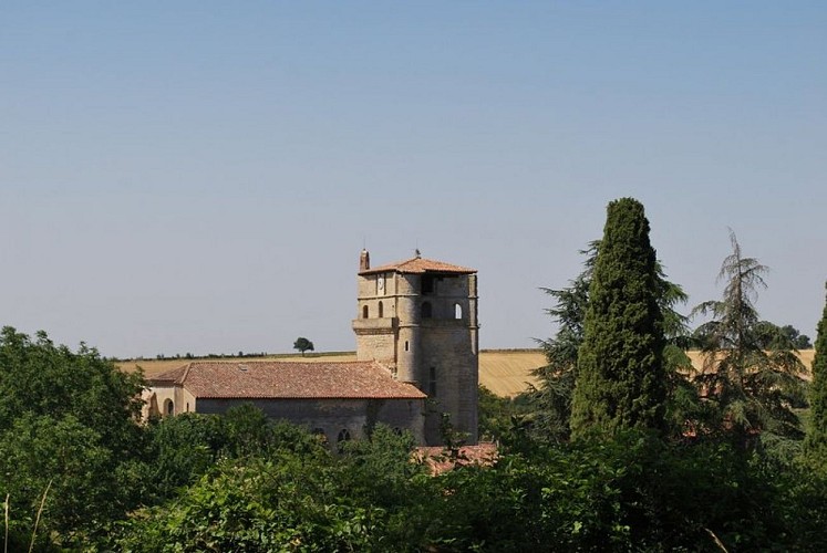
On the way to the lakeBelcastel, a former stronghold, is a charming village gathered around its 12th-century fortress church. According to 19th-century writings, the building was originally a chapel dependent on the Belcastel castle, which was destroyed during the French Revolution. The sandstone bell tower-dungeon was likely used to keep watch over enemies from its 22-meter height.Download the hiking guide in PDF format
From the starting sign, opposite the town hall, take the small road marked 'chemin du lavoir.'
Follow this road downhill for 100 meters, then leave it and take the path in front of you when you reach a bend, to the right near the small shed. Follow the path downhill until you reach a junction. Turn left and continue straight along the Bernède stream.
You will reach a crossing with the D35. Be cautious when crossing the road, and immediately turn left into the field. Follow the ditch on your right for a few meters before turning left along the Nadalou stream. Make sure the stream is on your right as you go. Continue along the path through the fields until you reach the road.
Carefully cross the road and take the dirt path in front of you. Continue along this path and trail for several kilometers along the lake.
The trail continues until you reach a small grove, where you cross the stream via a wooden footbridge. Once across, turn right to begin the return along the other side of the lake.
At the place called 'l’Espagnole,' the trail briefly leaves the lakeside. You need to take the slight uphill path on your left to rejoin the road a little higher up. At the intersection, turn left, and do not enter the private road on the right. After 100 meters, turn right and descend the dirt road to return to the lakeside. Continue until you cross the dam to complete the loop around the lake.
Go straight ahead following the dam and climb a few meters on a steep slope to rejoin the path taken earlier. Then turn left onto the trail. Retrace your steps through the fields along the Nadalou stream and then the Bernède stream. Be careful, at point no. 2, make sure to turn right at the junction and again to your right to take the path back up to the village
Technical Information
Altimetric profile
Starting point
Additional information
Is in the midst of the park
The national park is an unrestricted natural area but subjected to regulations which must be known by all visitors.
Labellisé FFRandonnée® Tarn
Cet itinéraire est labellisé FFRandonnée®. Il fait partie du réseau tarnais de chemins validé et reconnu par la Fédération Française de la Randonnée et les partenaires du Tarn comme de qualité supérieure.
Advised parking
Village center
Access
From Lavaur, direction Belcastel D39.
Arrival
Same place as the starting point
Ambiance
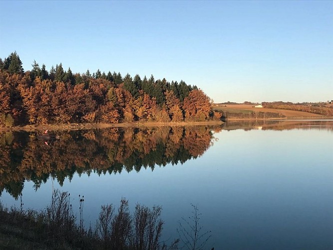
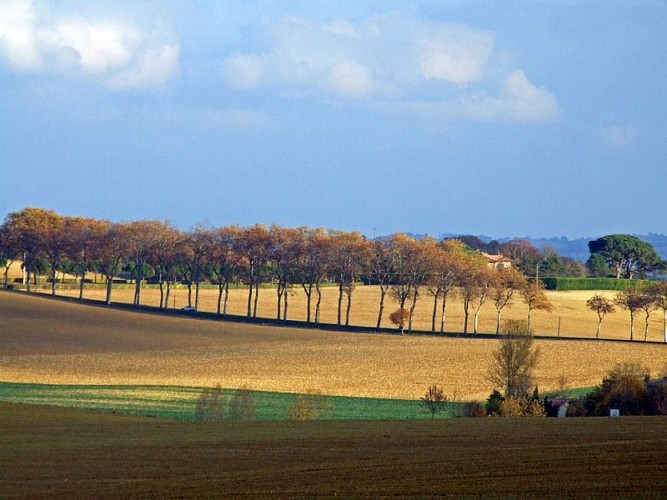
Starting from the village, the trail leads you to the hillside lake of the Briax reservoir, where the three communes of Belcastel, Lavaur, and Viviers-lès-Lavaur meet. Situated in a rural setting, this water reservoir is used for irrigating the surrounding fields. It is also popular with anglers, who enjoy the abundant fish population, particularly carp.Accessible year-round, this trail offers a walk along the water, alternating between wooded and rural paths, which will delight both regular and occasional hikers.Good to know :A few hundred meters from the village, you can spot the Château de Belcastel. This former fortress, once the seat of the local Barony, was replaced during the Second Empire by an elegant Renaissance château. The building is topped with a Mansard roof and has a polygonal tower at its southwest corner. The château's park now hosts leisure activities.
Departure
Belcastel
Data author
