Alert
Alerts
Oenorando® Vallon de la Caude
Description
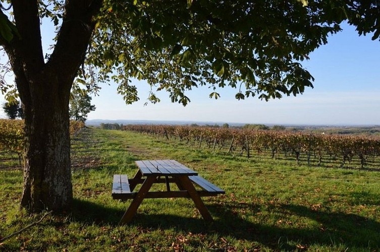
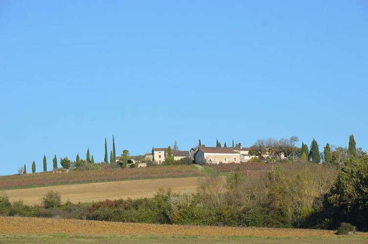
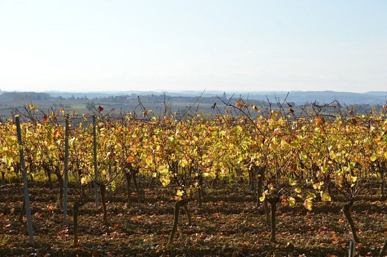
An almost 3-hour oenorando® in the hills of Cestayrols, with rolling landscapes covered in vineyards and meadows.
From the car park, take the path between the cypress trees to the departmental road. When you reach the road, turn left onto the path along the vineyard and descend to the bottom of the valley. Cross the Caude stream, then the Castanet road and join the other small road. Turn left and, 200m further on, go back up towards Plancas.
Cross the hamlet and take the ridge path, which offers a lovely view over the valley and the hamlet of Lincarque. Ignore the various junctions and continue to the Domaine des Vignals.
At the entrance to the Domaine, head down to the left through the vineyards and rejoin the Castanet road. Turn right.
Here, there is the option of a short variant (5.50 km). Turn left, cross the bridge over the Caude stream and go back up through the vineyards to the Lacroux estate. Continue along the Castanet road until you reach the RD n°1. Take it carefully to the left, cross the bridge over the stream and then turn right towards Moussens.
Cross the hamlet. On leaving, turn right onto the path running alongside the vineyard. At the road, take the path leading to Le Pouget via a right/left turn.
On leaving the hamlet, turn left at the crossroads and continue straight ahead along the path until you reach the RD n°1, at the entrance to Lincarque.
Cross the road, take the end of the path and then turn left until you reach the roundabout. Cross it and take the path opposite, which runs along the old wall. After about 300 metres, turn right and go up through the vineyards to return to the starting point.
Technical Information
Altimetric profile
Starting point
Additional information
Oenorando®
Cet itinéraire a été labellisé par la FFRandonnée en tant qu'Oenorando®. Il s'agit d'une randonnée qui vous fera découvrir le territoire et les paysages du vignoble et des vins du gaillacois. Le domaine viticole au départ du parcours vous permettra ensuite de découvrir le savoir-faire des vignerons.
Labellisé FFRandonnée® Tarn
Cet itinéraire est labellisé FFRandonnée®. Il fait partie du réseau tarnais de chemins validé et reconnu par la Fédération Française de la Randonnée et les partenaires du Tarn comme de qualité supérieure.
Advised parking
Château Lacroux
Access
Hameau de Lincarque in Cestayrols4 minutes from the town of Cestayrols via the D1 then the D17.15 minutes from Gaillac via the D17.
Arrival
Same place as start
Ambiance
Along the wayLa Caude is the stream that winds its way along the bottom of this pleasant little valley, which you can walk around along a trail offering beautiful scenery and a heritage typical of the Gaillac wine region. If you feel like it, don't hesitate to make a detour to the charming little village of Cestayrols, with its medieval houses and snail-shaped layout.The nearby estates are also open to visitors throughout the year: Château Lacroux, Château Les Vignals, Domaines de Labarthe and de Larroque.
Departure
Château Lacroux in Cestayrols
Data author
