Alert
Alerts
Lacapelle Sainte-Lucie circuit
Description
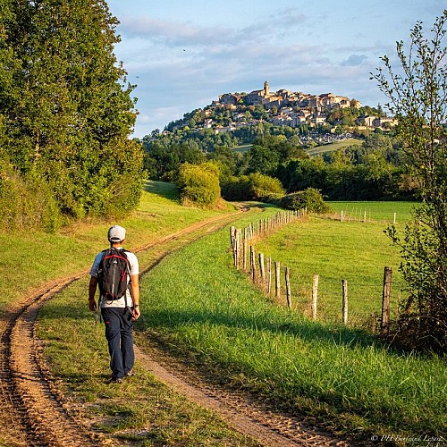
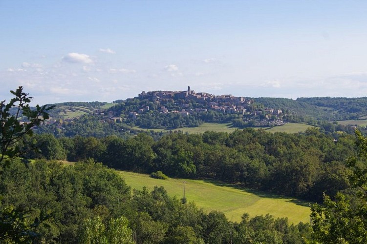
From the hills of Mouzieys-Panens, the northern profile of Cordes commands attention: the medieval city stretches out like a sleeping dragon above the Cérou Valley, imprinting its presence on the walker who eagerly awaits the moment when the city's silhouette will reappear around a bend.
Departure from Place Saint-Félix. Take Rue des Tanneries towards the Théâtre du Colombier and the bioclimatic primary school. After about 250 meters, join the old railway track on your left. When you reach the road, turn right towards Mas de Tulle. You will now follow the GR® 36 (white and red) for 2 km.
At the fork, leave the GR® 36 and take a path on your left that will lead you to a small paved road. Turn left and join the D30 road. Pass the Cantarrane-Le-Haut lake and the bridge, then follow the path that ascends to Mouzieys-Panens.
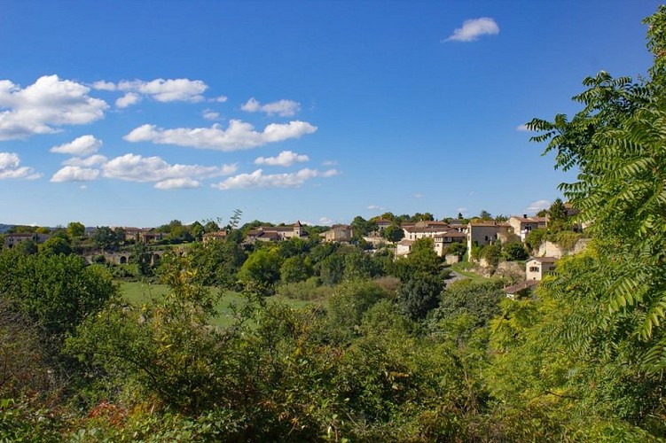
Cross the village, and at the Calvary, turn left towards "La Védillerie." Continue on the road until you reach the hamlet of Lacapelle-Sainte-Lucie.
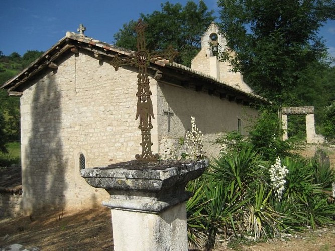
At the crossroads, continue left along a path that leads to the old Sainte-Lucie Chapel (private property).
Go back up the road to the right. Behind the Camp de Besset house, turn left. Follow the path through the woods until you reach the road. Turn left (the route is shared with the GRP® Cordes-Penne).
At the "La Védillerie" sign, turn right and then left. After the last house, take a right onto a steep, somewhat hidden path under the trees (slippery when wet). In the valley, go left onto a wide grassy track, pass the Nauze, then reach the old railway track (viewpoint of Cordes-sur-Ciel). At the end, turn right and cross the Cérou bridge to return to your starting point
Technical Information
Altimetric profile
Starting point
Additional information
Advice
The descent into the Bois de la Védillerie (after point 6) can be slippery in wet weather.
Is in the midst of the park
The national park is an unrestricted natural area but subjected to regulations which must be known by all visitors.
Labellisé FFRandonnée® Tarn
Cet itinéraire est labellisé FFRandonnée®. Il fait partie du réseau tarnais de chemins validé et reconnu par la Fédération Française de la Randonnée et les partenaires du Tarn comme de qualité supérieure.
Public transport
By bus: route 707 (Albi - Cordes - Vindrac) - stop in the main street of the village of les CabannesBy train: Toulouse-Aurillac line - "Cordes-Vindrac" SNCF station 4 km away.
Advised parking
In the village of Les Cabannes, along the D600 road
Arrival
Same place as the start
Ambiance
The route takes you through the village of Mouzieys, an old lookout village responsible for monitoring Cordes. Take the opportunity to enjoy the beautiful view of Cordes from the Téroundel. Follow the signage for "Téroundel 1 km."In the hamlet of Lacapelle-Sainte-Lucie, you'll find a shaded rest stop with a water point, a picnic area, and an informational panel about the local small heritage (feel free to take a few steps to see the washhouse).
Access
Les Cabannes, 1.5 km from Cordes via the D600
Departure
Saint-Félix Square, Les Cabannes
Data author
