Alert
Alerts
Boucle des potiers
Description
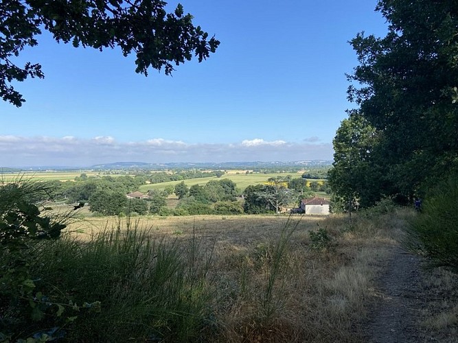
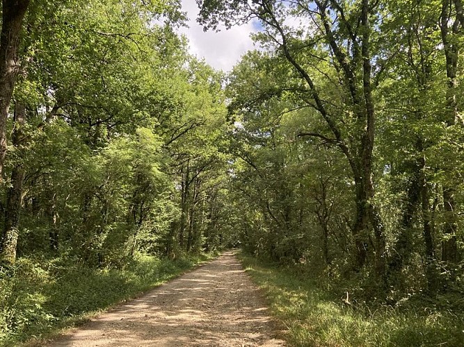
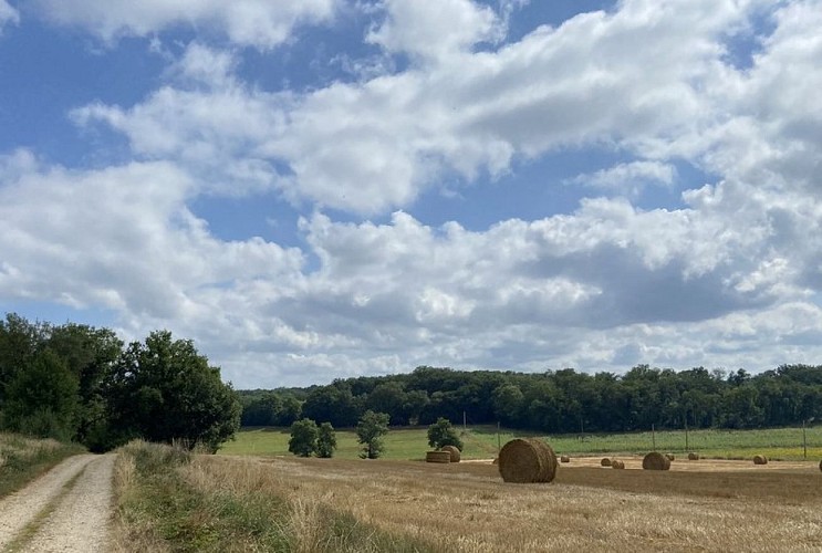
An easy, shaded loop, ideal in hot weatherThis accessible, easy loop takes you through the shade of the Giroussens forest for a refreshing and pleasant break in nature. Between clearings, wooded paths and open landscapes overlooking the Agout valley, the route is perfect for relaxation. Please note: avoid this trail between September and February during hunting season.
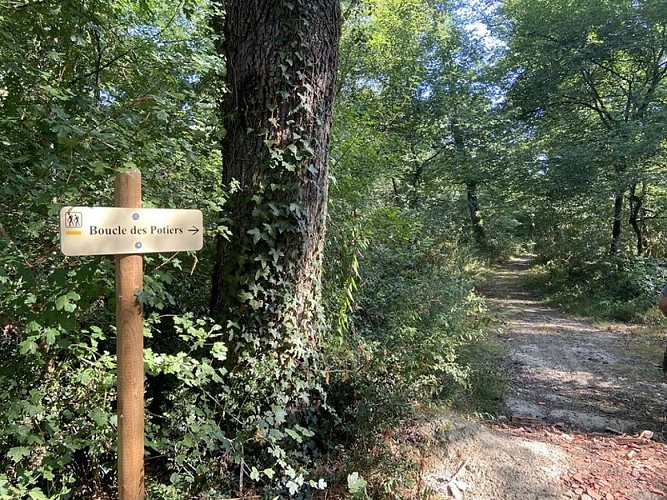
From the car park, facing the signpost, turn left towards the two fork paths. Take the right-hand path, which leads straight to La Pelforte. Cross the small hamlet, then continue on the road opposite towards the forest.
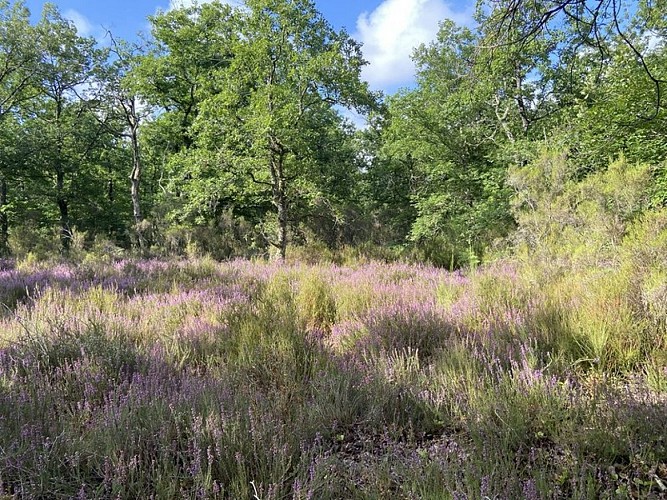
Enter a forest of oak and hornbeam trees. The undergrowth is pleasantly filled with ferns, honeysuckle, holly and other shrubs. Further on, the path crosses a clearing of pine and fir trees, accompanied by heather. You then come to a clearing bordered by ferns. Descend slightly. At the first crossroads, go straight ahead, then turn left at the next intersection. Cross the Tort stream; the path then climbs until it joins the Barraque Basse communal road.
Turn right onto a wide path lined with oak trees for about 500 m. Then turn right onto a small, easy path that descends gently towards the stream. The path winds through the woods before joining a wide firebreak track.
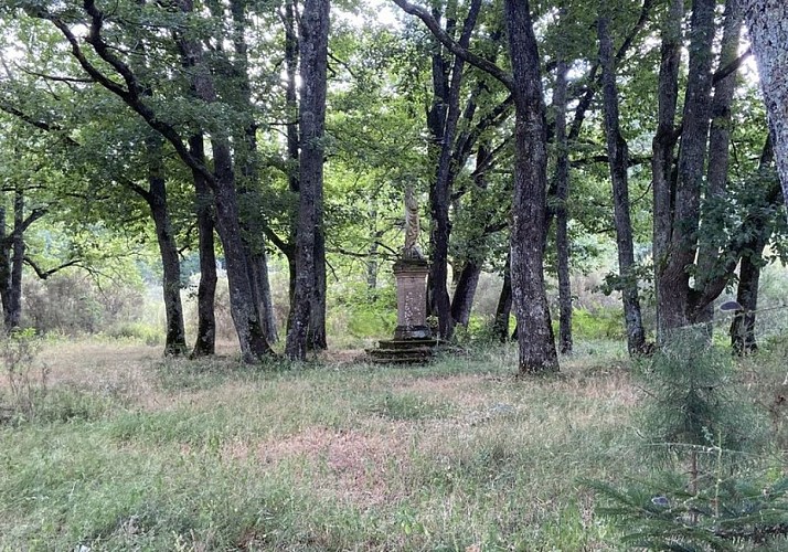
Continue straight ahead on the wide stony track. Continue until you see a statue of the Virgin Mary, slightly set back from the path. At the fork, turn right, go downhill, then back up the path. Finish by turning right again to return to the car park.
Technical Information
Altimetric profile
Starting point
Additional information
Advice
⚠️ ÉVITER LES JOURS DE CHASSE (forêt privée) : SEPTEMBRE ET OCTOBRE les mercredis, samedis et dimanches - NOVEMBRE À FÉVRIER tous les jours - renseignements auprès de la mairie ou de la Fédération des Chasseurs du Tarn.
Is in the midst of the park
The national park is an unrestricted natural area but subjected to regulations which must be known by all visitors.
Labellisé FFRandonnée® Tarn
Cet itinéraire est labellisé FFRandonnée®. Il fait partie du réseau tarnais de chemins validé et reconnu par la Fédération Française de la Randonnée et les partenaires du Tarn comme de qualité supérieure.
Advised parking
Lieu-dit "Les Communaux" (ancien terrain de football)
Access
À 24km de Gaillac par l'A68 sortie n°7 direction Giroussens.
Arrival
Same place as start
Ambiance
Between the 16th and 19th centuries, more than 500 potters worked in the town. Their glazed pottery with polychrome decorations made Giroussens famous far beyond the local area.Today, this pottery heritage lives on thanks to the many ceramists who have settled in the village. Giroussens has been awarded the ‘Ville et Métiers d'Art’ label (since 2021), a title that reflects its artistic dynamism. The Contemporary Ceramics Centre attracts enthusiasts and curious visitors every year, as does the famous Pottery Market, held every June.
Departure
Former football pitch, known as Les Communaux
Data author
