Alert
Alerts
Snowshoeing itinerary : The Abbey
Description
Short walk from La Giettaz to admire this beautiful village from above. Alternative route (duration: 1 hour 45 minutes; distance: 4.1 km).
TO KNOW :
The Oratoire des Clapières is the oldest oratory in Val d'Arly. During the revolution, it was hidden under a heap of wood and branches in order to escape the order of destruction of the small oratories. Note that "Clapières" designates stony ground, which manifests itself in the construction material of the oratory.
Technical Information
Altimetric profile
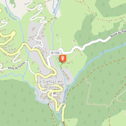
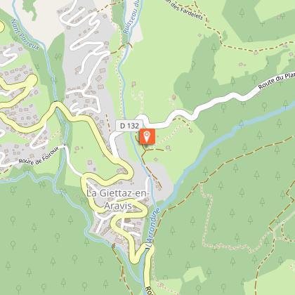
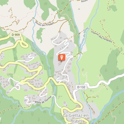
Starting point
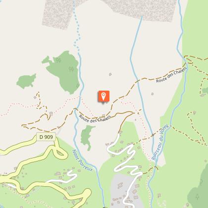
Points of interest


Date and time
- From 15/12/2026 to 15/04/2027
- From 15/12/2027 to 15/04/2028
Additional information
Open period
From 15/12 to 15/04 daily.
Subject to snow conditions.
Updated by
Office de Tourisme du Val d'Arly - 01/03/2026
www.valdarly-montblanc.com
Report a problem
Contact
Phone : 04 79 32 91 90
Email : sentiers@valdarly-montblanc.com
Location complements
Accessible by Giett'Bus (Le Village stop).
Free parking in front of the church and the town hall.
Topo guides and map references
Map references :
Map of snowshoeing and ski touring itineraries in the Val d'Arly on sale for 4€ in the Val d'Arly Tourist Offices (itinerary no. 14)
Type of land
Non-groomed itinerary
Environments
Mountain view
Mountain location
Village centre
River 5 km away
Close to a public transportation
Bus stop < 500 m
Near shuttle stop
Guidebook with maps/step-by-step
1/ Start in front of the Tourist Office. Go up the lane opposite the Tourist Office (rue de la Confrérie) and cross the RD909.
2/ Continue towards the Abbey, then climb up to the Chapelle des Nants.
3/ After the chapel, head up towards the RD132, cross it carefully and continue uphill towards Les Puginières.
4/ From Les Puginières, descend to the village via the Pont Noir and the Chapelle des Nants.
VARIATION: L'Oratoire des Clapières :
3/ From the Chapelle des Nants, head up towards the RD 132, cross it carefully and continue uphill on the right to reach the Chemin du Fardellet.
4/ Once on this path, turn left towards Pétaz. At the crossroads, turn right towards the Bois de Fouestarle, then left across the field to the Oratoire des Clapières.
5/ Return to the village of La Giettaz by the same route as far as Pétaz. From this crossroads, descend via Puginières, Pont Noir and Chapelle des Nants (duration: 1hr 45mins; distance: 4.1km).
Animals
Yes. Dogs must be kept on a lead.
