Alert
Alerts
Type of practice
Walking
Easy
Presentation
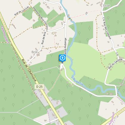
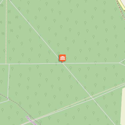
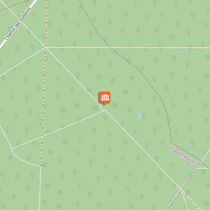
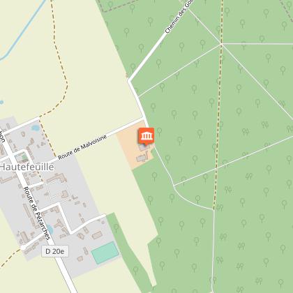
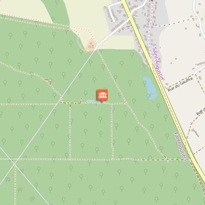
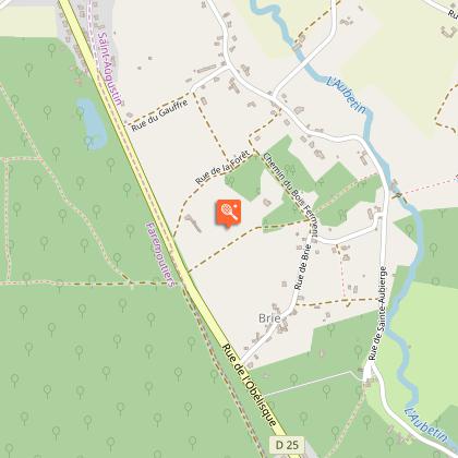
Map
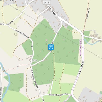
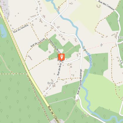
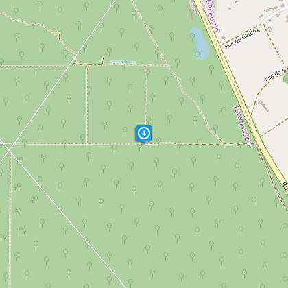
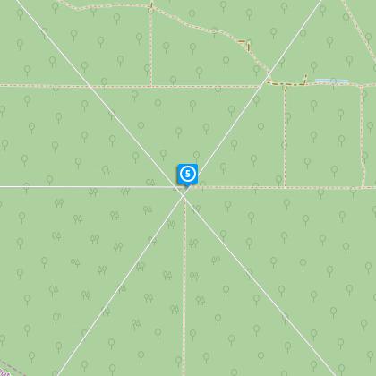
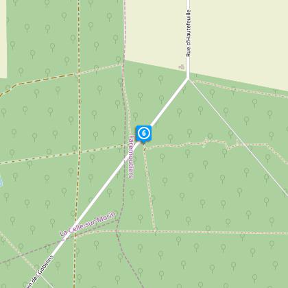
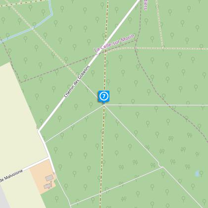
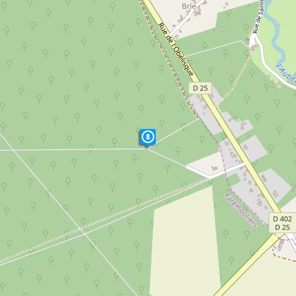
Steps
Points of interest
Cirkwi brief's
Ratings and reviews
See around
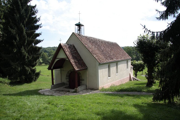
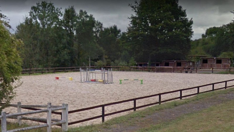
Walk in the Malvoisine Forest

Credit : Coulommiers Pays de Brie Tourisme
The Cirkwi brief
Discover Malvoisine Forest: Medieval Legends and Nature's Magic
Embarking on a journey through the Malvoisine Forest transports you into the pages of the famous Roman de Renart, steeped in the medieval lore that permeates its air and landscapes. This forest isn’t just a feast for the eyes; it's a sanctuary where the foxes of these tales still roam free. Offered by Coulommiers Pays de Brie Tourism, this trek is a testament to the enduring appeal of France's natural and literary heritage, blending history with the tranquil pleasure of nature walks. The way the sunlight filters through the canopy, the sound of rustling leaves underfoot, and the serene paths leading to historical sites like the Moulin d'Epaillard, coalesce into a truly enchanting experience.
Essential Route Details Unveiled
This meticulously plotted trek spans approximately 13.7 kilometers, with a minimum altitude of 75 meters and peaking at 124 meters, encompassing a positive elevation change of roughly 101 to 102 meters. What stands out is the balanced mix of gentle ascents and accessible trails, making it suitable for a broad audience, from avid hikers to families looking for an adventurous day out. The route’s management of elevation combines with its distance to offer a moderately challenging, yet rewarding experience. The strategic placement of trails ensures that hikers can immerse themselves in the forest's biodiversity without unnecessary strain.
Tips for a Season-Smart Journey
To fully appreciate the beauty of Malvoisine Forest, I recommend wearing layered clothing and sturdy hiking boots, regardless of the season. Spring and summer unveil a vibrant palette of flora, perfect for photographers and nature enthusiasts. During these seasons, ensure to carry water and sun protection. Autumn transforms the forest with fiery hues, ideal for witnessing the seasonal change, but do keep in mind to start early as daylight is shorter. Winter, cloaked in serenity, requires warm clothing and is perfect for those who enjoy the crisp air of cold weather hikes. Safety is paramount; always stay on marked trails and check weather conditions before setting out.
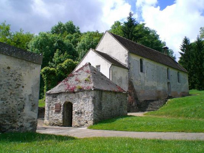
Exploring the Heritage of MAUPERTHUIS
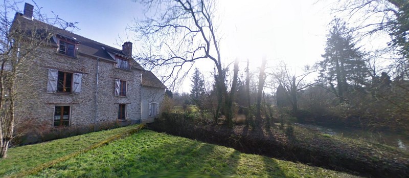
Rich in history, Mauperthuis and the surrounding region are nestled in the heart of France, showcasing the depth of French cultural heritage. This area, significant for its connection to the Roman de Renart, provides a living backdrop to the mythical tales that have been passed down through generations. The evolution of Moulin d'Epaillard, from a mill to a sawmill, reflects the ingenuity and adaptability of the people. Traditionally part of Coulommiers Pays de Brie Tourism’s jurisdiction, this locale is a testament to the enduring bonds between nature, history, and community, offering visitors a unique glimpse into France's past and present.
When to Visit: Weather insights
The climate in this region of France can be described as temperate, with distinct seasonal variations. The best months for visiting the Malvoisine Forest would be late spring through early autumn (May to September), when the weather is most favorable for outdoor activities. During these months, you can expect mild to warm temperatures and lower chances of rain, ideal for enjoying the trails and the natural scenery. Conversely, winter months tend to be cooler and wetter, which may appeal to those who prefer less crowded paths and the tranquil beauty of a forest in repose.
Embarking on a journey through the Malvoisine Forest transports you into the pages of the famous Roman de Renart, steeped in the medieval lore that permeates its air and landscapes. This forest isn’t just a feast for the eyes; it's a sanctuary where the foxes of these tales still roam free. Offered by Coulommiers Pays de Brie Tourism, this trek is a testament to the enduring appeal of France's natural and literary heritage, blending history with the tranquil pleasure of nature walks. The way the sunlight filters through the canopy, the sound of rustling leaves underfoot, and the serene paths leading to historical sites like the Moulin d'Epaillard, coalesce into a truly enchanting experience.
Essential Route Details Unveiled
This meticulously plotted trek spans approximately 13.7 kilometers, with a minimum altitude of 75 meters and peaking at 124 meters, encompassing a positive elevation change of roughly 101 to 102 meters. What stands out is the balanced mix of gentle ascents and accessible trails, making it suitable for a broad audience, from avid hikers to families looking for an adventurous day out. The route’s management of elevation combines with its distance to offer a moderately challenging, yet rewarding experience. The strategic placement of trails ensures that hikers can immerse themselves in the forest's biodiversity without unnecessary strain.
Tips for a Season-Smart Journey
To fully appreciate the beauty of Malvoisine Forest, I recommend wearing layered clothing and sturdy hiking boots, regardless of the season. Spring and summer unveil a vibrant palette of flora, perfect for photographers and nature enthusiasts. During these seasons, ensure to carry water and sun protection. Autumn transforms the forest with fiery hues, ideal for witnessing the seasonal change, but do keep in mind to start early as daylight is shorter. Winter, cloaked in serenity, requires warm clothing and is perfect for those who enjoy the crisp air of cold weather hikes. Safety is paramount; always stay on marked trails and check weather conditions before setting out.
Exploring the Heritage of MAUPERTHUIS
Rich in history, Mauperthuis and the surrounding region are nestled in the heart of France, showcasing the depth of French cultural heritage. This area, significant for its connection to the Roman de Renart, provides a living backdrop to the mythical tales that have been passed down through generations. The evolution of Moulin d'Epaillard, from a mill to a sawmill, reflects the ingenuity and adaptability of the people. Traditionally part of Coulommiers Pays de Brie Tourism’s jurisdiction, this locale is a testament to the enduring bonds between nature, history, and community, offering visitors a unique glimpse into France's past and present.
When to Visit: Weather insights
The climate in this region of France can be described as temperate, with distinct seasonal variations. The best months for visiting the Malvoisine Forest would be late spring through early autumn (May to September), when the weather is most favorable for outdoor activities. During these months, you can expect mild to warm temperatures and lower chances of rain, ideal for enjoying the trails and the natural scenery. Conversely, winter months tend to be cooler and wetter, which may appeal to those who prefer less crowded paths and the tranquil beauty of a forest in repose.
Automatically generated.
Technical Information
Walking
Difficulty
Easy
Dist.
14 km
Type of practice
Walking
Easy
Show more
Altimetric profile
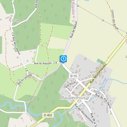
Starting point
17
Rue du Parc
,
77120
Mauperthuis
Lat : 48.76924Lng : 3.03682
Steps
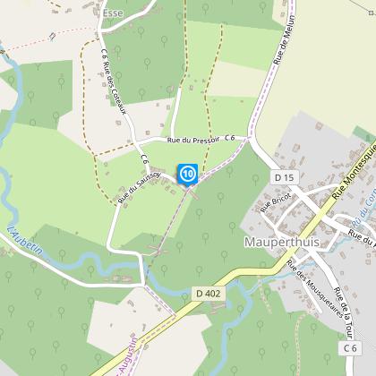
Points of interest
Data author

proposed by
Coulommiers Pays de Brie Tourisme
7 rue du Général de Gaulle 77110 Coulommiers France
Ratings and reviews
To see around