Alert
Alerts
Les Chalets d'Alpage

Description
This walk will lead you on a discovery of the hamlets and heritage of La Giettaz : church, chapel, alpine chalets...
Begin your walk after the bakery/food shop in LA GIETTAZ. Go towards LE PLAN, passing through La Chapelle des Nants, l'Abbaye and Les Evargneux. In Les Fardellets, take the direction towards Char Véret via Stapesse. When you get to Pétaz, go towards the Croix de Ptiouta. At the Bois de Fouestarle, follow signs to the COL DES ARAVIS passing through Les Clapières. At the crossroads Sous le Châtelard, go back down to LA GIETTAZ via Crève Cœur, Sous les Feux, Les Mortines, the Pont de Nant Parreux and La Caillière.
TO SEE :
The oratories : you will come across several oratories along your way. These little chapels were usually built at crossroads, enabling pilgrims as well as various other travellers, to spend a moment in prayer. It is worth seeing these examples of local heritage.
INTERESTING FACT :
This religious heritage has been through various difficult periods. For example, towards the end of December 1793, the local municipality was ordered to destroy all the little oratories along the footpaths. It is said that the oratory at Les Clapières was saved because it was hidden under a pile of wood.
Technical Information
Altimetric profile
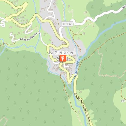
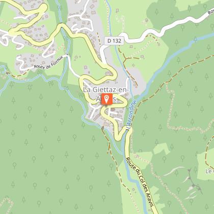
Starting point
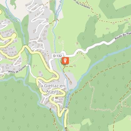
Points of interest


Additional information
Updated by
Office de Tourisme du Val d'Arly - 10/10/2025
www.valdarly-montblanc.com
Report a problem
Open period
From 01/05 to 01/10.
Subject to snow conditions.
Contact
Phone : 04 79 32 91 90
Email : sentiers@valdarly-montblanc.com
Website : http://www.valdarly-montblanc.com
Type of land
Not suitable for strollers
Animals
Yes
