Alert
Alerts
Circuit VTT n°22 Vaour-Milhars

Description
A compilation to ensure you don’t miss a thing! The trail is challenging but offers varied landscapes, with the option to shorten it by skipping the Marnaves loop.
On this trail, you'll be amazed by the panoramas and the picturesque villages. You'll visit Roussayrolles with its 13th-century church, Notre-Dame; Marnaves and its 13th-century Château de La Prune, also known as Château de Roquereine, named in honor of the Sieur de Roquereine, consul of Cordes and lord of La Prune during the Wars of Religion; and Milhars with its feudal castle, restored in 1630 on the remains of a 13th-century castrum, perched on a promontory.
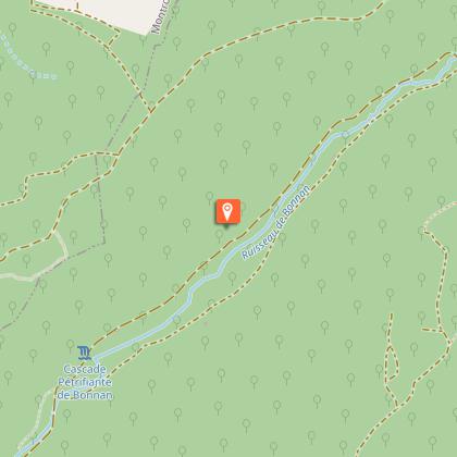
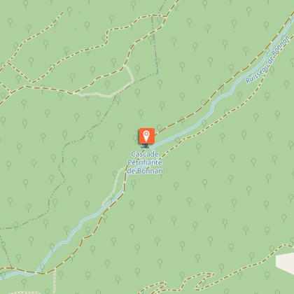
You will also explore the Sensitive Natural Area of the Vallée de Bonnan, featuring its stream and stunning tufa waterfall. Finally, you'll discover the landscapes of the causse and the dolmen of Vaour.
Technical Information
Altimetric profile
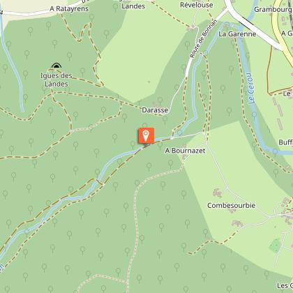
Starting point
Steps
Additional information
Updated by
Tarn Attractivité - 15/06/2026
www.tourisme-tarn.com
Report a problem
Contact
Phone : 08 05 40 08 28
Website : https://www.la-toscane-occitane.com/
Location complements
Departure : Intersection between the town hall and the church..
Arrival : Same place as the start.
Road access : 18 km west of Cordes via the D600 to Vindrac, then head towards Tonnac-Vaour on the D91. At the Col de la Liberté, take the direction of Vaour on the D33.
25 km north of Gaillac, leave the city via the D964 towards Le Verdier, then take the D15 to Vaour..
Parking recommended : Village square opposite the Vaour Town Hall. .
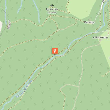
Guidebook with maps/step-by-step
Starting from Vaour, head up towards Col de Liberté via the chemin du Ribatou. Upon reaching the place called "La Fleur de Lys," descend towards the hamlet of Mespoulet and turn towards the Fontaine "Mère de Dieu" before arriving at the village of Roussayrolles.
From there, pass through the Forêt de Grézelles and then descend to the village of Marnaves via the GR de Pays Cordes-Penne. After crossing the village, climb up the road to Lissart and follow the red earth trails beneath the Château de La Prune up to the heights.
Once you reach the hamlet of Mayrin, descend to Milhars via the causse trails. Follow the Cérou River out of the village and climb up the Vallée de Bonnan to Pas de la Clède. Finally, descend towards the Vallée de Laussière and ascend via the forest track to the Dolmen de Vaour before finishing and arriving back at the village.
Data author
