Alert
Alerts
All Around "L'Arrondine" FFC n°47

Description
Stroll to discover the heights of "La Giettaz" and the small hamlet of "Le Plan".
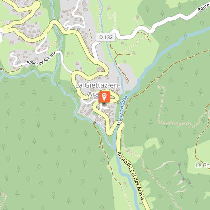
From the Tourist Office, take the road towards Col des Aravis. At the junction with the road leading to Plan, continue on the Col des Aravis road for 300 m and take the road on the right towards "La Gardette" and "Les Gorandières". At a place called "Les Gorandières", take the path which leads to the "Fardellets" and join the road which leads to the Plan. Arrived at the Plan, take the forest track which leads to the "Roc de Charbonnier", then continue to reach the village of Giettaz.
Technical Information
Altimetric profile
Starting point
Points of interest


Date and time
- From 01/07/2026 to 31/10/2026
Additional information
Updated by
Office de Tourisme du Val d'Arly - 10/10/2025
www.valdarly-montblanc.com
Report a problem
Open period
From 01/07 to 31/10.
Contact
Phone : 04 79 32 91 90
Email : sentiers@valdarly-montblanc.com
Type of land
Stone
Ground
Topo guides and map references
Map references :
Espace Diamant VTT card on sale in the tourists Offices at 2.50 €.
