Alert
Alerts
Les Chalets de Pétetruy FFC n°49

Description
Pleasant biking route in the middle of alpine pastures and grazing cows, opposite the Mont-Blanc mountain range.
From the Tourist Office in La Giettaz, take the main 909 road towards the Col des Aravis. Before you get to Les Mortines, take the road on the right as far as Les Clapières. At Les Clapières, cycle in the direction of LA BALMAZ following the Route des Chalets, via the Bois de Fouestarle, the Croix de Ptiouta, the Mègevan and the Route du Plan Bourgeois. Continue along the Route des Chalets towards Pétetruy. The return journey follows the same route as far as La Croix des Buts where you will go down to the path which leads to Les Fardellets and from there rejoin the main road that goes to Le Plan. Once there, take the forest track towards the Roc du Chabonnier before getting to the village of La Giettaz.
Technical Information
Altimetric profile
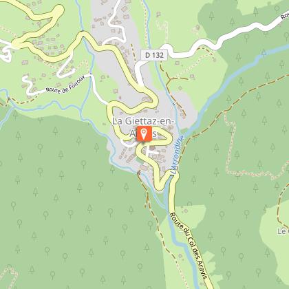
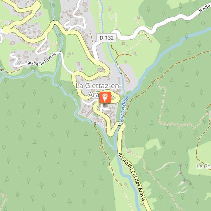
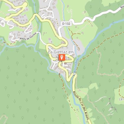
Starting point
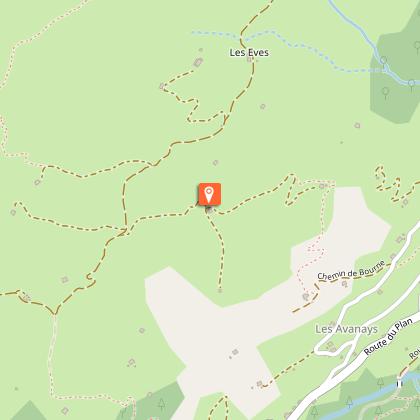
Points of interest


Additional information
Updated by
Office de Tourisme du Val d'Arly - 10/10/2025
www.valdarly-montblanc.com
Report a problem
Open period
From 01/06 to 30/09.
Contact
Phone : 04 79 32 91 90
Email : sentiers@valdarly-montblanc.com
