Alert
Alerts
The slopes of Flumet

Description
Discover the heights of Flumet with its many farms, under the eye of Mont Blanc.
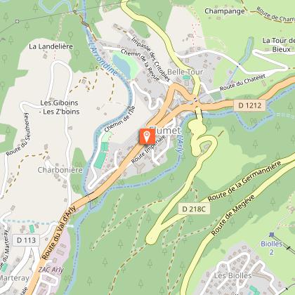
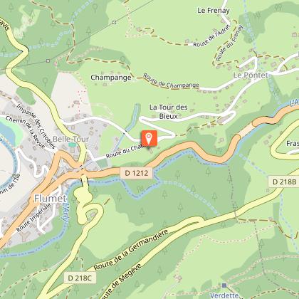
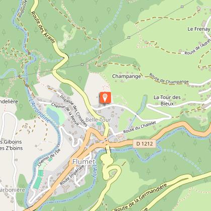
DEPARTURE: Flumet Tourist Office / St Nicolas la Chapelle.
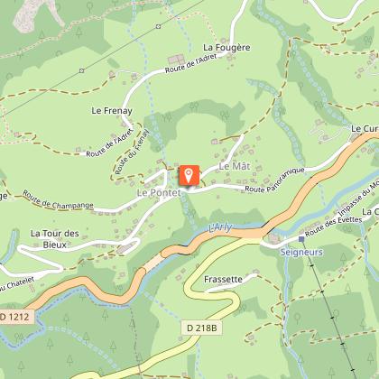
ROUTE: From the Tourist Office, go up Rue du Mont-Blanc to ÉGLISE. Continue straight ahead towards CHÂTELET then PONTETS MORETTES (short steep climb to this place). Continue a few meters on the panoramic road and turn left on the balcony until the PETIT BIOLLAY. From there, go up on the left towards LE BIOLLAY. Then return to LA TOUVIERE. Back to the BIOLLAY, turn right on the communal road to FRÉNEY and LES PONTETS MORETTES. Turn right and take the road then the track to join the CHAR. Go down the path to the left to reach the village then the Tourist Office.
POINTS OF INTEREST:
- Many views of the Val d'Arly
- The "bell-tower", old tower of the wall of the city.
Technical Information
Altimetric profile
Starting point
Points of interest

Date and time
- From 01/06/2026 to 30/09/2026
- From 01/06/2027 to 30/09/2027
Additional information
Updated by
Office de Tourisme du Val d'Arly - 25/06/2026
www.valdarly-montblanc.com
Report a problem
Open period
From 01/06 to 30/09.
Contact
Phone : 04 79 31 61 08
Email : sentiers@valdarly-montblanc.com
Website : http://www.valdarly-montblanc.com
Topo guides and map references
Map references :
Walking and hiking map of the Val d'Arly for sale at 9 € or Topo Walks and Short hikes on sale at € 4 in the tourist offices.
Location complements
Departure of the route on the parking of the Office of Tourism.
Animals
Yes. Dogs must be on a leash.
