Alert
Alerts
Valescure
Description
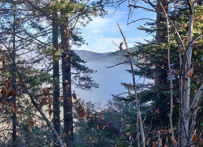
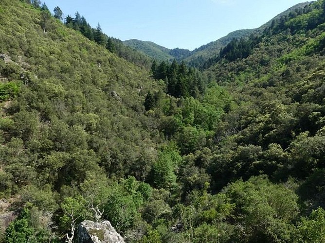
This is one of the least frequented of all the Cévenol valleys! Also one of the best preserved, it invites you to explore, contemplate and recharge your batteries… Learn how to merge into its peacefulness.
Signposts will guide you all along this route, as well as yellow painted waymarks. In the description below, the signposted place names and/or directions are given in bold italics between quotation marks :
Starting from the car park "PEYROLLES - Serre de Clayrac", turn right onto the D road and, 200m.
At "La Planque", turn left downhill onto the small road towards
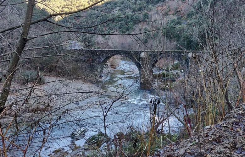
"Pont de l'Arénas", then continue along the road towards
“Vallée Obscure” and
“Château de Vallée Obscure”. Take the path on the left below the château, then continue to
"La Jasse", then turn left towards
“Le Gué”. From there, continue left and climb the steep path — carefully follow the yellow waymarks through the woodland. Once on the ridge, turn right to reach
“La Jasse d’Almiras”. Follow the ridge to
"La Rouvière", then descend towards “Le Gué” (5) and “Château de Vallée Obscure” (4). Continue along the small road to “Pont de l’Arénas” (2), then turn left towards “La Planque” (1) to return to the main road and the starting car park.
Technical Information
Altimetric profile
Starting point
Additional information
Public transport
LiO is the regional public transport service of the Occitanie/ Pyrénées – Méditerranée region. It facilitates everyone’s movements by prioritising public transport. For more information, go to the lio Occitanie app or visit : www.mestrajets.lio.laregion.fr
Advice
Before committing yourself to a circuit, ensure that it is suitable for your activity level and ability : the descent after the ruins of La Faysolle is steep – this walk is reserved for experienced hikers. Remember that the weather changes quickly in the mountains. Take enough water. Please close all gates and barriers behind you. Caution : it is best not to attempt this walk during heavy rain.
Advised parking
Virage de la Planque
Access
From St-Jean du Gard on the D907 towards Florac through the Vallée Borgne, park at "La Planque" 800m further on, just after the bus shelter on the left.
Arrival
Car park in bend in the road at La Planque - Peyrolles
Ambiance
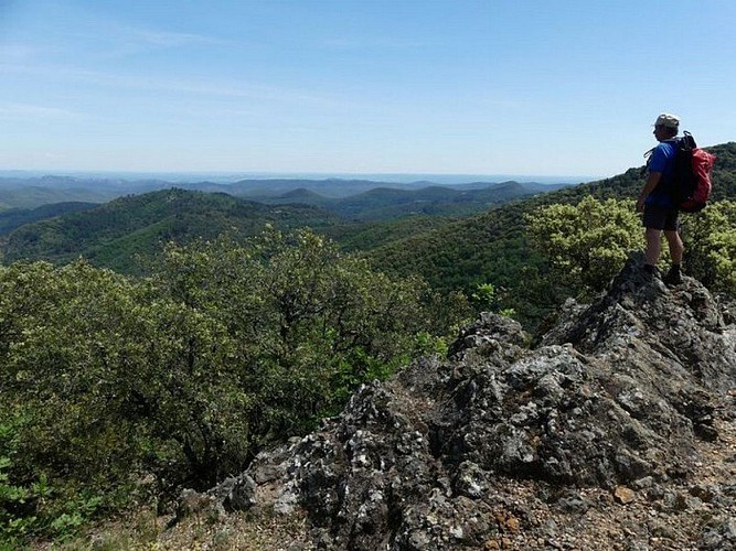
A hike in a peaceful little valley that looks wild at first but has been shaped by human action. Explore a formerly bustling dwelling place, a heritage built stone by stone. The many low walls around the ruins of La Faysolle bear witness to the active life of the hamlet, where many families lived. The oven, clède and spring enabled them to exist in autarky. From the ridges, wide views open up over the landscapes of the surrounding mountains.
Departure
Car park in bend in the road at La Planque - Peyrolles
Data author
