Alert
Alerts
Pic de La Tourette
Description
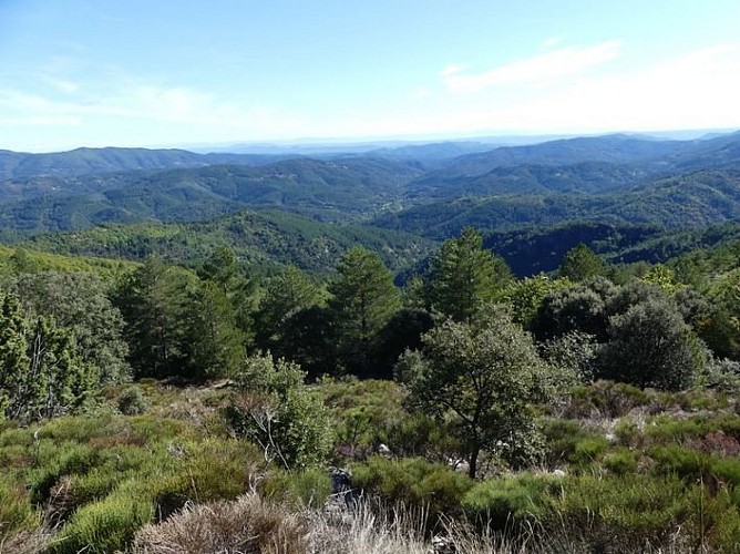
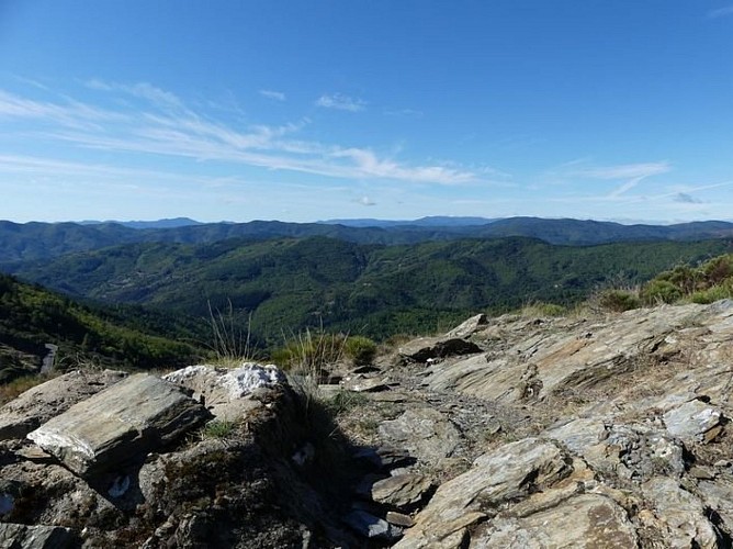
On this large loop, you conquer the Pic de La Tourette summit, walk on former drailles (drovers’ roads) and pass the Château de Verfeuil. Handsome panoramic views await !
Signposts will guide you all along this route. In the description below, the signposted place names and/or directions are given in bold italics between quotation marks:
Starting at “Chamborigaud”, walk towards “Pont de Rastel” via :
“Stade", Take the bridge and
Turn left onto the road and pass Le Martinet then Le Gravas.
Then walk to the top of “Pic de La Tourette” via :
“Le Mas Légal”,
“La Cledasse”,
“L’Agevol”
“Sous le pic de La Tourette”. Return to “Pic de Tourette” and walk to “Ruines du château de Verfeuil” via :
“Coudoulous”. Then continue to “Le Ronc de Donavelle” via :
“Le Refuge”
“La Jongle”.
At “Le Ronc de Donavelle”, return to “Chamborigaud” via :
“Le Bès”
“Mairie”.
This hike is taken from the guidebook Mont Lozère - Pays des sources, sommet des Cévennes published by the Pôle de pleine nature du Mont Lozère.
Technical Information
Altimetric profile
Starting point
Additional information
Advice
Make sure your equipment is appropriate for the day’s weather conditions. Remember that the weather changes quickly in the mountains. Take enough water, wear sturdy shoes and put on a hat. Please close any gates and barriers behind you.
Is in the midst of the park
The national park is an unrestricted natural area but subjected to regulations which must be known by all visitors.
Public transport
This hike is accessible by public transport. TER Génolhac – Chamborigaud every day www.thetrainline.com/fr/horaires-train/genolhac-a-chamborigaud To consult the updated schedules and plan your trip, use the route calculator below by entering the arrival stop: Chamborigaud (Station)
Advised parking
Chamborigaud
Arrival
Chamborigaud
Access
From Génolhac take the D906,towards Pont de Rastel, then to Chamborigaud.
Departure
Chamborigaud
Data author
