Alert
Alerts
Mont Brion : from watchtowers to fords
Description
A walk over draille (drovers’ road) and paths, through chestnut orchards and holm oak groves, offering fine views over the Cévennes !
Signposts will guide you all along this route. In the description below, the signposted place names and/or directions are given in bold italics between quotation marks :
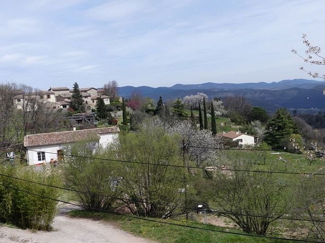
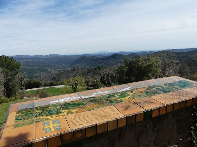
Starting from the car park “Route vieille” in Sainte-Croix de Caderle, go uphill to the village (with a there-and-back detour to the viewpoint indicator), then to “Mont Brion” via:
“La Graussille” and
“La Malaygue”.
At “Mont Brion”, go downhill to:
“Col de Briontet”. Then return to “Sainte Croix de Caderle” via:
“Le Tourel”,
"Sainte croix de Caderle", and finally to the car park at “Route Vieille”.
This hike is taken from the guidebook Cévennes et vallées du Gardon, autour d’Anduze et Saint-Jean-du-Gard, published by the Agglomération d’Alès as part of the collection Espaces Naturels Gardois and the label Gard Pleine Nature.
Technical Information
Altimetric profile
Starting point
Additional information
Public transport
LiO is the regional public transport service of the Occitanie/ Pyrénées – Méditerranée region. It facilitates everyone’s movements by prioritising public transport. For more information, go to lio.laregion.fr
Advice
Make sure your equipment is appropriate for the day’s weather conditions. Remember that the weather changes quickly in the mountains. Take enough water, wear sturdy shoes and put on a hat.
Advised parking
Sainte-Croix de Caderle
Access
From Alès, drive towards Anduze on the D910a or D129, then towards Saint Jean du Gard on the D907. At Salindre bridge, take the D57 towards Lasalle, then the D153 to Sainte Croix de Caderle. From Saint Jean du Gard, drive towards Lasalle on the D153 to Sainte Croix de Caderle.
Arrival
Sainte Croix de Caderle
Ambiance
This pretty ascent towards Mont Brion offers panoramic 360° views, ranging from Mont Aigoual to Mont Lozère via Mont Bouquet, Mont Ventoux and, further south, the sea. At Sainte Croix de Caderle, take advantage of the viewpoint indicator and discover the small Romanesque chapel and its history.
Departure
Sainte Croix de Caderle
Data author
