Alert
Alerts
L'Exil
Description
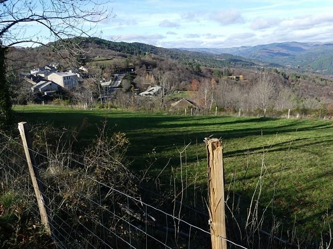
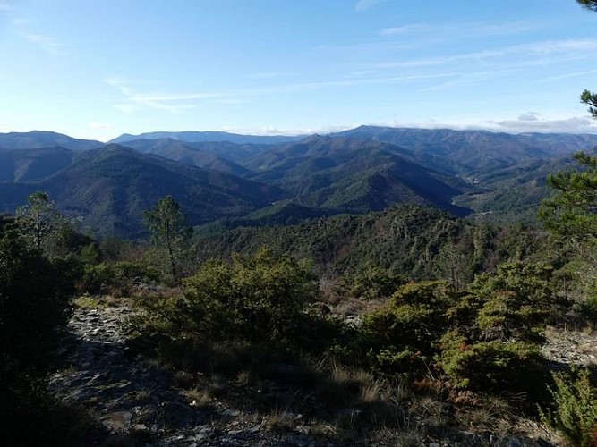
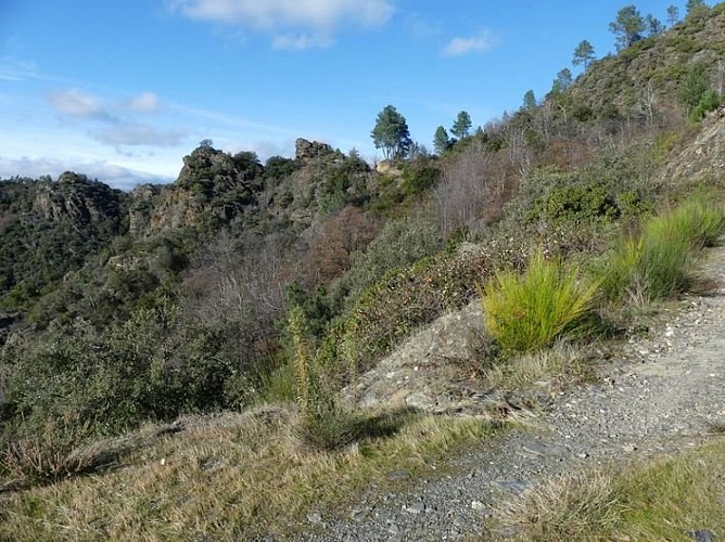
An easy walk that is ideal for getting back in shape and has many points of interest: a remarkable church, a route overlooking Saumane, a picturesque uphill stretch on the former King’s road to St-Roman-de-Tousque, a section on the Corniche des Cévennes and a downhill stretch to Saumane with magnificent panoramic views onto Mont Lozère, the Cévennes and Mont Aigoual.
Signposts will guide you all along this route. In the description below, the signposted place names and/or directions are given in bold italics between quotation marks:From the main square of “Saumane”, walk towards “Col de l'Exil” via
“Pont de Saumane”. Continue on the road, via La Tourette.
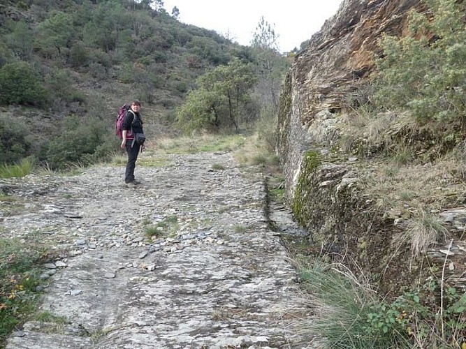
"Cabrières", go downhill on the right and cross the river on the picturesque bridge, then go back uphill to just below the hamlet of Bourgnolles. Take the road on the right to the D 907, turn left onto it and walk to the Maison de Capou. At Maison de Capou, go uphill through the stony ravine to reach St-Roman de Tousque (former King’s road). In St-Roman de Tousque, turn right in the village and join the Corniche des Cévennes road (D 9). At the road (D9), cross the security barriers and walk to the Col de l’Exil pass.
At “Col de l'Exil”, take the forestry track on the right towards “Saumane” via
"Saint-Roman",
“Cabrijoule”. At “Cabrijoule” keep going downhill towards “Saumane” via
the “Pont de Saumane”. At “Pont de Saumane”, turn left to return to the car park.
Technical Information
Altimetric profile
Starting point
Additional information
Public transport
liO est le Service Public Occitanie Transports de la Région Occitanie/Pyrénées-Méditerranée. Il permet à chacun de se déplacer facilement en privilégiant les transports en commun. lio.laregion.fr(pendant la période scolaire)
Advice
NB: from the hamlet of Bourgnolle to Capou and from St-Roman de Tousque to the Col de l'Exil, this walk is on (tarred) main roads. Before committing yourself to a circuit, ensure that it is suitable for your activity level and ability. Remember that the weather changes quickly in the mountains. Take enough water.
Advised parking
Main square of Saumane
Access
From St-Jean du Gard, head towards St-André de Valborgne on the D907 via L’Estréchure, to Saumane.
Arrival
Saumane
Departure
Saumane
Data author
