Alert
Alerts
From Meyrueis to the summit of Mont Aigoual.
Description
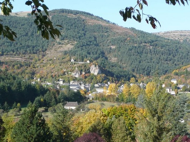
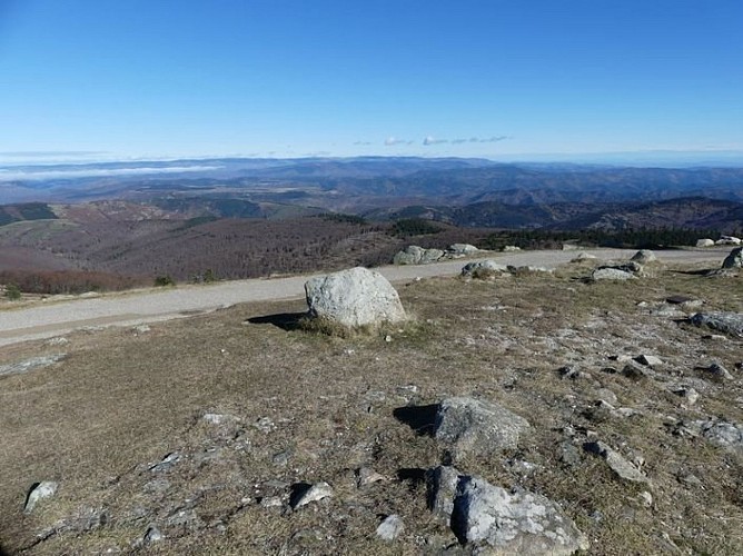
Two days of hiking from Meyrueis – a market town located between the Causses plateaux and the Aigoual massif – will take you to the top of Mont Aigoual, where the Mediterranean and Atlantic weather systems meet and where there are extraordinary views over the Cévennes and from the Alps to the Pyrénées.
- Day 1: 19 km. Starting from Meyrueis, follow the GR®66 long-distance hiking trail to Cabrillac. At that hamlet, leave the GR®66 for the GR®60, which climbs to the top of Mont Aigoual via Le Plo du Four.- Day 2: 20 km. From Mont Aigoual, head back down on the GR®6 to the Prat Peyrot resort, then continue always along the GR®6 towards Meyrueis via La croix de fer and Bout de Côte.
Technical Information
Altimetric profile
Starting point
Additional information
Public transport
Place SullyBus line "Meyrueis-Millau" July and August lio.laregion.fr/img/pdf/oc-1903-fhbus-48-257-3v_bd_04_.pdfdaily year-round. Different timetables for term time or school holidays: Line 215 Autocars Causse + 33 (0)6 65 61 24 16
Advice
Make sure your equipment is appropriate for the day’s weather conditions. Remember that the weather changes quickly in the mountains. Take enough water, wear sturdy shoes and put on a hat. Please close all gates and barriers behind you.Caution: patous (livestock guard dogs)! Seek advice on how to behave near these dogs from tourist offices and National Park information centres.
Is in the midst of the park
The national park is an unrestricted natural area but subjected to regulations which must be known by all visitors.
Advised parking
Champ de Mars or André Chamson car parks
Access
Meyrueis, via the Jonte gorge on the RD 996.
Arrival
Meyrueis
Ambiance
You leave Meyrueis, a market town built at the confluence of three rivers, to immerse yourself in a beech forest with some rather crooked trees that alternates with upland grasslands. As well as the vista from the summit, this hike also offers panoramic views onto the Causses plateaux and the Brèze and Béthuzon valleys.
Departure
Meyrueis
Data author
