Alert
Alerts
Le Soult
Description
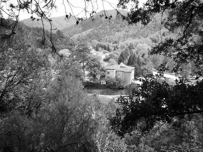
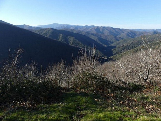
Explore sites steeped in history such as the Château de L’Hom, and enjoy beautiful views of Cévenol villages and valleys.
Signposts will guide you all along this route. In the description below, the signposted place names and/or directions are given in bold italics between quotation marks :
On the village square, from the signpost “L’Estréchure” walk towards
" L'Aubarède",
“Boisserolle”. Walk around the campsite on the river bank (careful during strong rain).
At the signpost “Château de L’Hom”, walk on the path that goes uphill opposite the château. The path climbs to a forestry track. Turn left onto it and go uphill on hairpin bends to a tarred road. Turn right onto the road and go downhill to the signpost
“La Bécédelle”, then
"L'Hermet". At marker 730, behind the former road mender’s shelter, descend towards "L'Estréchure" via “Boisserolle” (2) and "L'Aubarède"(1).
Technical Information
Altimetric profile
Starting point
Additional information
Public transport
This hike is accessible by public transport. To consult the updated schedules and plan your trip, use the route calculator below by entering the arrival stop: L'ESTRÉCHURE - Temple.
Advice
Caution: do not attempt this path after strong rain or during flooding. Before committing yourself to a circuit, ensure that it is suitable for your activity level and ability. Remember that the weather changes quickly in the mountains. Take enough water.
Advised parking
L’Estréchure village square
Access
From St-André de Valborgne, take the D 907 towards St-Jean du Gard, through the village of Saumane. At L’Estréchure, use the car park in the village.
Arrival
L’Estréchure
Ambiance
Le Soult path, from the old French word for spring, goes deep into the woods that overlook the village of L'Estréchure. It passes close to the Liron Massif and has viewpoints at over 750 m of altitude. Fir, pine, oak and especially sweet chestnut trees make up a typical local forest.
Departure
L’Estréchure
Data author
