Alert
Alerts
The panoramic Cévennes via Mont Aigoual
Description
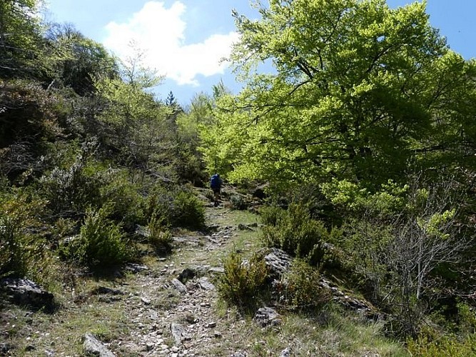
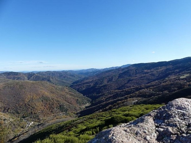
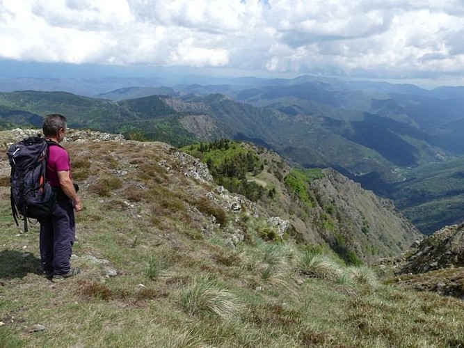
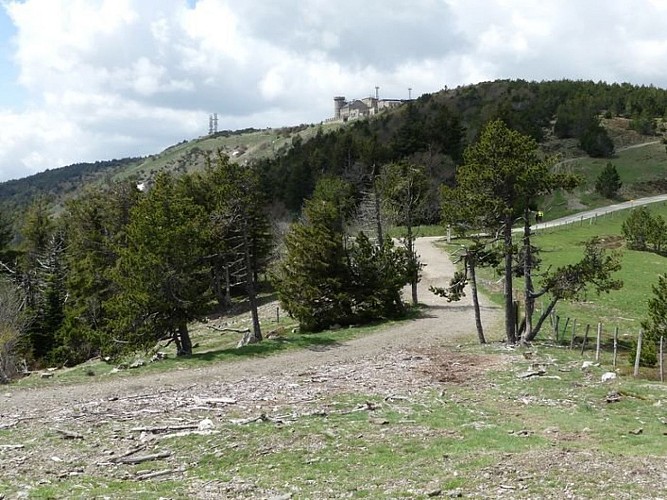
This three-stage itinerary leads you to the summit of Mont Aigoual, the emblematic peak of the Cévennes, in an upland atmosphere from beginning to end.
Day 1: Florac, Barre-des-Cévennes, 16 km, 780 m of climbs, 390 m of descents. GR®43, GR®7.From Florac, go to Barre-des-Cévennes on the GR®43 to the Col des Faïsses pass via Le Pont de Barre, La Rouvière, Tardonenche, Col du Rey. At Col de Faïsses, leave the GR®43 to take the GR®7 to Barre-des-Cévennes via the Can Noire plateau.
Day 2 : Barre-des-Cévennes, summit of Mont Aigoual, 30 km, 680 m of climbs, 1280 m of descents, GR®7.From Barre-des-Cévennes, take the GR®7 back to Col des Faïsses. At the pass, continue on the GR®7 uphill to the summit of Mont Aigoual via L'Hospitalet, Col de Salidès, Aire de Côte, Cap Brion, Mont Aigoual.
Day 3 : Summit of Mont Aigoual, Le Vigan, 26 km, 440 m of climbs, 1770 m of descents, GR®7From the summit of Mont Aigoual, go downhill to Prat Peyrot, Col de la Serreyrède, L'Espérou, Col de Montals, Col de la Broue, Aulas, Le Vigan.
Technical Information
Altimetric profile
Starting point
Additional information
Public transport
Bus line, lio.laregion.fr Le Vigan-Alès : line D42, Monday to Friday 6.50 am, arrival 8.45 am Bus line Florac-Alès : line 252, Monday to Friday. Passenger and luggage transport : www.lamallepostale.com/fr
Advice
Before committing yourself to a circuit, ensure that it is suitable for your activity level and ability. Remember that the weather changes quickly in the mountains. Take enough water.
Is in the midst of the park
The national park is an unrestricted natural area but subjected to regulations which must be known by all visitors.
Advised parking
Florac
Access
From Mende or Alès to Florac
Arrival
Le Vigan
Ambiance
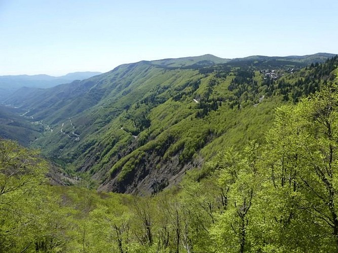
The route crosses the massif on ridge paths, alternating between forest tracks and technically demanding singletracks. The highpoints are the panoramic views over the surrounding massifs and the technical sections. A route reserved for experienced runners, used to technical terrain and long distances.
Departure
Florac
Data author
