Alert
Alerts
La Trescoulade
Description
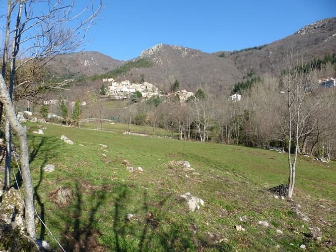
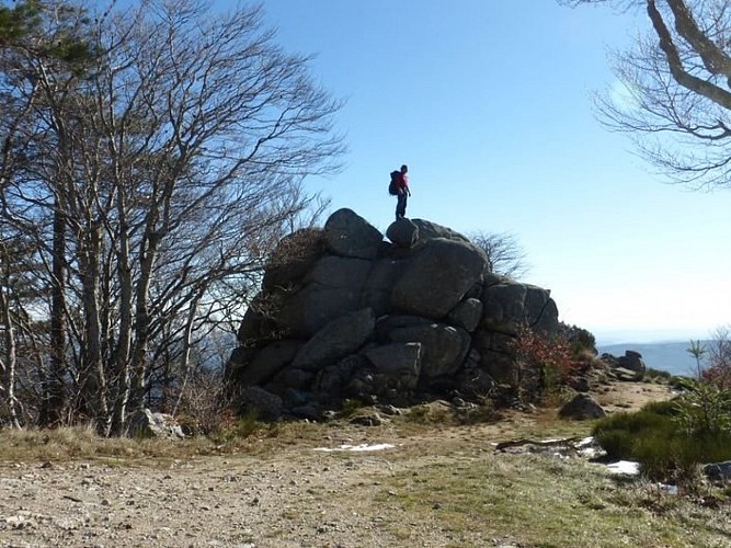
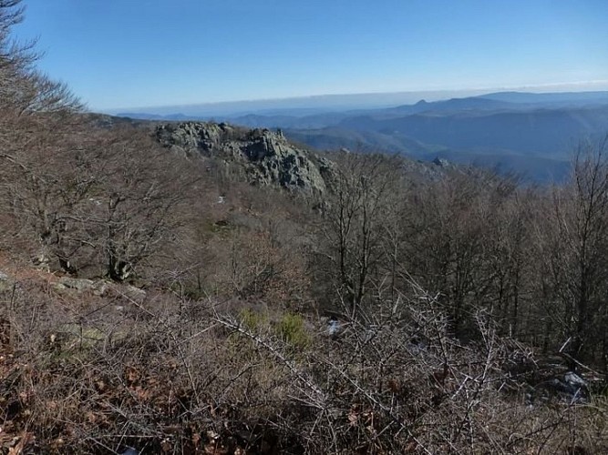
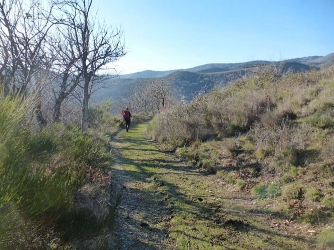
From ridge to forest, col (pass) to col, this trail brings the hiker into contact with a great variety of environments and offers uninterrupted panoramic views onto the Arre valley, the Causse de Blandas, the Anjeau mountains and the Trude massif.
Signposts will guide you all along this route. In the description below, the signposted place names and/or directions are given in bold italics between quotation marks:Starting from “ARRIGAS”, head towards "PEYRAUBE"
At the post "Chemin de la Vignasse" go on about "Arrigas – Tennis".
Go up to" Peyraube",
Then follow "SAINT GUIRAL" via "Col des Tempêtes";
At the post "col des Tempêtes" turn right until "Peyrebesse",
then continue towards "Les Liquières".
At this crossroads, return to "ARRIGAS" via "Vernes le Haut",
The, "Serre des Aires" and "Chemin de la Vignasse".
This walk is taken from the guidebook Les Vallées Cévenoles - En Pays Viganais, published by the Communauté de communes Pays Viganais-Cévennes as part of the collection Espaces Naturels Gardois and the label Gard Pleine Nature.
Technical Information
Altimetric profile
Starting point
Additional information
Advice
Make sure your equipment is appropriate for the day's weather conditions. Remember that the weather changes quickly in the mountains. Take enough water, wear good shoes and put on a hat. Please close all gates and barriers after yourself.
Is in the midst of the park
The national park is an unrestricted natural area but subjected to regulations which must be known by all visitors.
Advised parking
Church square in Arrigas
Access
From Le Vigan, take the D 999 towards Alzon. At Les Trois Ponts, take the D 789 towards Aumessas - Arrigas
Arrival
Arrigas
Ambiance
La Trescoulade Trail is a forest hike to the ridges and passes of this valley. The word trescoulade is Occitan and means “to disappear behind the heights, to cross a pass”. It perfectly describes the ambiance of this path.
Departure
Arrigas
Data author
