Alert
Alerts
L’Arboux
Description
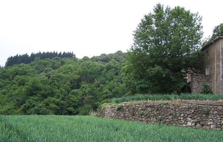
Descend towards L’Arboux hamlet, which owes its name to the Occitan arboç (strawberry tree), a tree not found everywhere in the Cévennes, before going back up to explore the crop terraces of Cévennes mild onion.
Signposts will guide you all along this route. In the description below, the signposted place names and/or directions are given in bold italics between quotation marks :
Starting at “MANDAGOUT”, walk to “L’ARBOUX” via “Mandagout – Centre” :
“Croix de Navous”. Then :
“L’ARBOUX”. Go to “COSTUBAGUE” via :
“L’Arboux”.
At “COSTUBAGUE” continue to :
“La Planque”, then return to “MANDAGOUT” via “Mandagout –Centre”.
This walk is taken from the guidebook Les Vallées Cévenoles - En Pays Viganais, published by the Communauté de communes Pays Viganais-Cévennes as part of the collection Espaces Naturels Gardois and the label Gard Pleine Nature.
Technical Information
Altimetric profile
Starting point
Additional information
Advice
Make sure your equipment is appropriate for the day’s weather conditions. Take enough water, wear sturdy shoes and put on a hat. Please close any gates and barriers behind you.
Is in the midst of the park
The national park is an unrestricted natural area but subjected to regulations which must be known by all visitors.
Public transport
Alès bus line 142 Nîmes bus line 140 Montpellier bus line 608LIO line 106 (Saturdays only) LIO Région Occitanie - lio.laregion.fr/
Advised parking
Village square
Arrival
Mandagout
Access
From Alés or Nîmes take the D999 towards Vigan, then the D370 and D170 via Col des Mourèzes to Mandagout
Departure
Mandagout
Data author
