Alert
Alerts
The stagecoach
Description
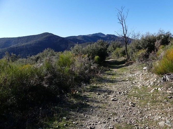
This walk takes you to the historical heart of the Cévennes: a rural life as harsh as it was intense, which forged a powerful spirit of resistance.
Signposts will guide you all along this route, as well as yellow painted waymarks. In the description below, the signposted place names and/or directions are given in bold italics between quotation marks:Starting from the car park "Peyrolles - Serre de Clayrac", turn right onto the Départemental road and, 200m later,
"La Planque", go downhill on the left on the small road towards
"Pont de L'Arénas",
"Vallée Obscure" and
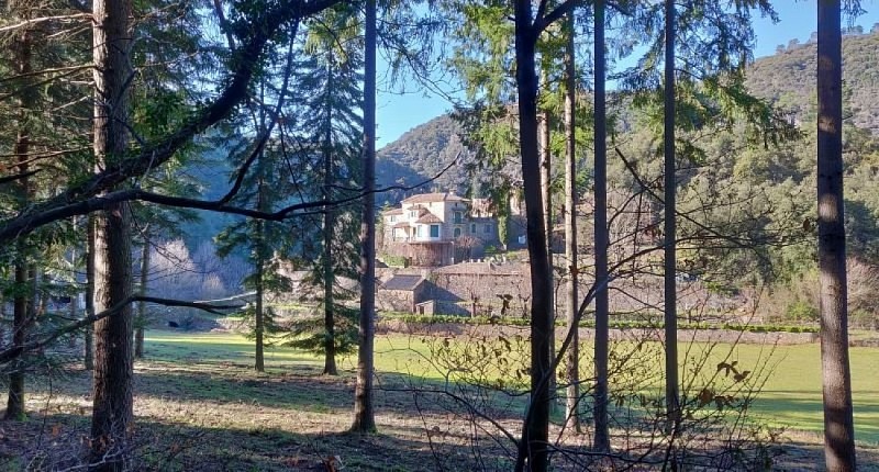
"Château de vallée obscure". At “Château de vallée obscure” take the path on the right towards
"La Jasse", then
"Rouvière", and
"Col du Briontet". At “col du Briontet”, go towards "Col du Mercou" on a wooded path on your right, which goes uphill between two forestry tracks.
At “Col du Mercou”, take the path on your right towards
"Soucy".Turn right towards “Pont de l’Arénas” (2), then left towards “La Planque” (1) to return to the main road and the starting car park.
Technical Information
Altimetric profile
Starting point
Additional information
Public transport
liO is the regional public transport service of the Occitanie/ Pyrénées – Méditerranée region. It facilitates everyone’s movements by prioritising public transport. For more information, go to www.lio-occitanie.fr/(not during school holidays)
Advice
Caution! Heavy rainfall will make crossing the ford at Pont de Vallongue impossible. Before committing yourself to a circuit, ensure that it is suitable for your activity level and ability. Remember that the weather changes quickly in the mountains. Take enough water.
Advised parking
La Planque bend in the road
Access
From St-Jean du Gard, towards St-André de Valborgne on the D 907, car park "La Planque" after 800m, after the bus shelter on your left.
Arrival
La Planque bend in the road – Peyrolles
Ambiance
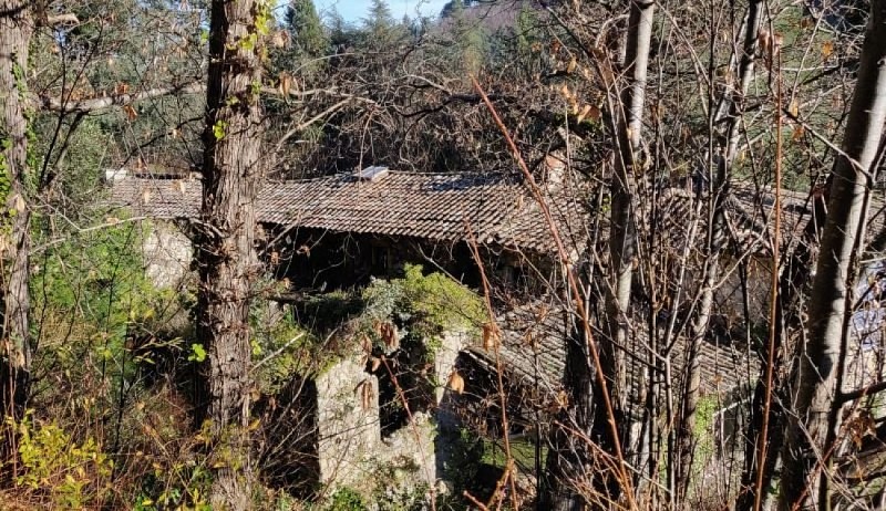
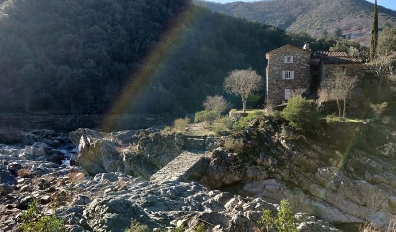
Here, place names, castle, manor house, schist buildings all tell of the men and women who valiantly defended their freedom of worship.
Departure
La Planque bend in the road – Peyrolles
Data author
