Alert
Alerts
From the Camisards to the Resistance
Description
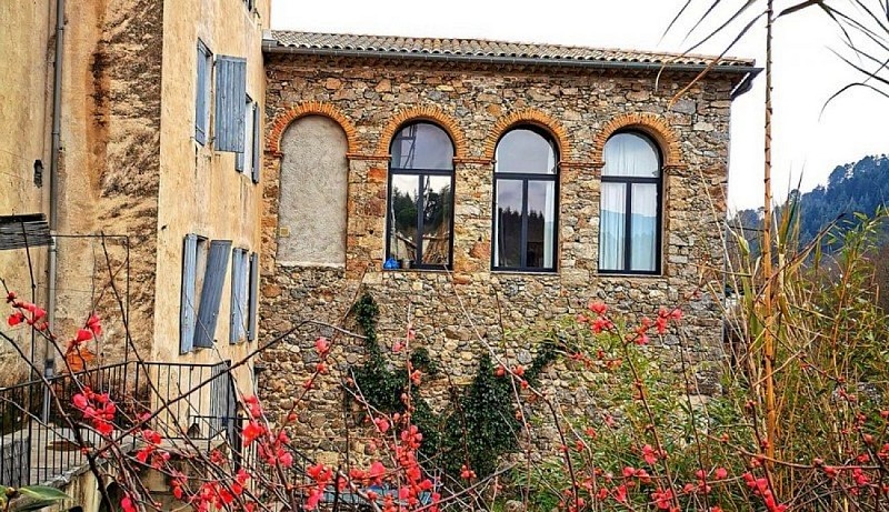
Let the fountains, lanes, silk spinning-mills and bourgeois townhouses lead you through Lasalle’s wealth of history and secrets.
Signposts will guide you all along this route, as well as yellow painted waymarks. In the description below, the signposted place names and/or directions are given in bold italics between quotation marks:Starting from the Tourist Office, "Lasalle", turn right onto Rue de la Croix.
At “Fontaine de la Croix”, turn left and follow the signs to
“Bosquet du Souvenir”,
“Rocher de la Lune”,
“Col du Lièvre”,
“Col de l’Oursine”. Turn left towards “Lasalle” via
“Pont de Fer”. Take the small passage across the bridge and follow the river, passing alongside the sports fields, then continue to
“Pont Vieux”. Turn left to return to the junction at
“Fontaine de la Croix”. Return via Rue de la Croix to reach the Tourist Office again.
Technical Information
Altimetric profile
Starting point
Additional information
Public transport
liO is the regional public transport service of the Occitanie/ Pyrénées – Méditerranée region. It facilitates everyone’s movements by prioritising public transport. For more information, call 08 10 33 42 73 or go to www.laregion.fr(in term time).
Advice
Before committing yourself to a circuit, ensure that it is suitable for your activity level and ability. Remember that the weather changes quickly in the mountains. Take enough water. Please close all gates and barriers behind you.
Advised parking
Car park on the Place de la Mairie or behind the tourism office.
Access
From Anduze, drive towards St-Jean du Gard on the D 907; 1 km after the village of Thoiras, at the roundabout, turn left onto the D 57, continue for 10 km, then turn right towards Lasalle. Park in the village.
Arrival
Lasalle
Ambiance
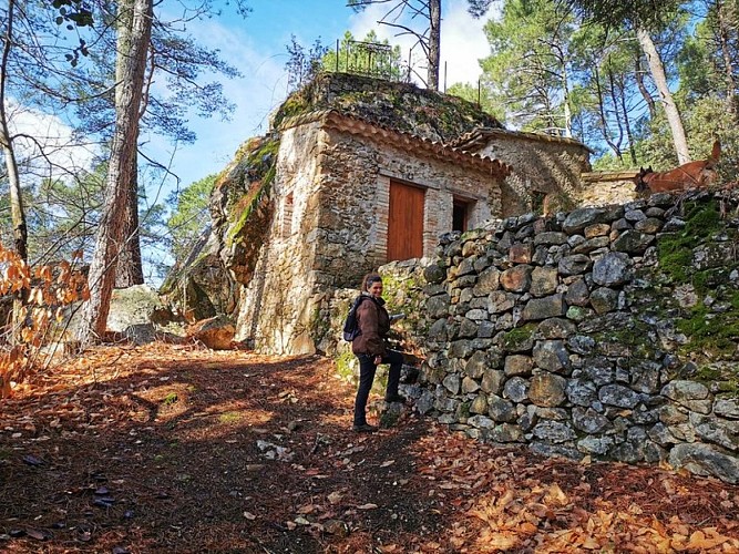
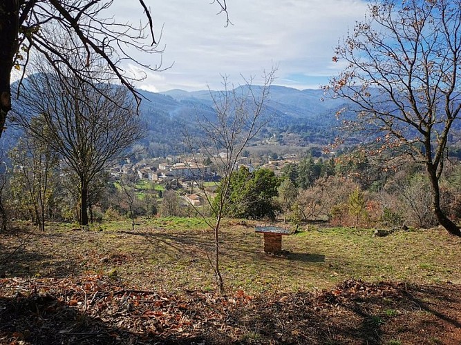
This walk starts from the centre of Lasalle, then climbs the heights above it, and finally crosses the village to join the right bank of the Salindrenque. Calades (cobblestoned sections of paths), mazets (small isolated stone cottages), crop terraces, spinning-mills and castles give a powerful sense of Cévenol history marked by resilience and stubbornness.
Departure
Lasalle
Data author
