Alert
Alerts
Col de Peyrefiche
Description
A spotlight on the drailles, the former traffic arteries for pastoralism in the Cévennes.
Signposts will guide you all along this route. In the description below, the signposted place names and/or directions are given in bold italics between quotation marks :
Starting at "MANDAGOUT", walk to "COL DE PEYREFICHE" via :
"Mandagout - Centre",
"La Planque",
"Chemin de Rouas",
"COL DE PEYREFICHE",
"Peyrefiche",
"Rouas" before returning to :
"Chemin de Rouas" and then "MANDAGOUT" via "La Planque" and "Mandagout - Centre".
This walk is taken from the guidebook Les Vallées Cévenoles - En Pays Viganais, published by the Communauté de communes Pays Viganais-Cévennes as part of the collection Espaces Naturels Gardois and the label Gard Pleine Nature.
Technical Information
Altimetric profile
Starting point
Additional information
Public transport
LiO is the regional public transport service of the Occitanie/ Pyrénées – Méditerranée region. It facilitates everyone’s movements by prioritising public transport. For more information, go to the lio Occitanie app or visit : www.mestrajets.lio.laregion.fr
Advice
Make sure your equipment is appropriate for the day’s weather conditions. Take enough water, wear sturdy shoes and put on a hat. Please close any gates and barriers behind you.
Advised parking
Near La Poste (post office)
Access
From Le Vigan take the D170 to Gaujac, Beaulieu, Mandagout.
Arrival
Mandagout
Ambiance
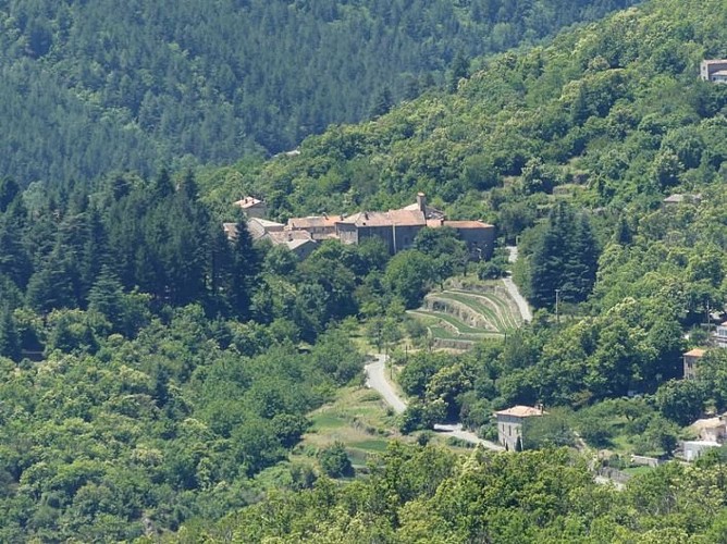
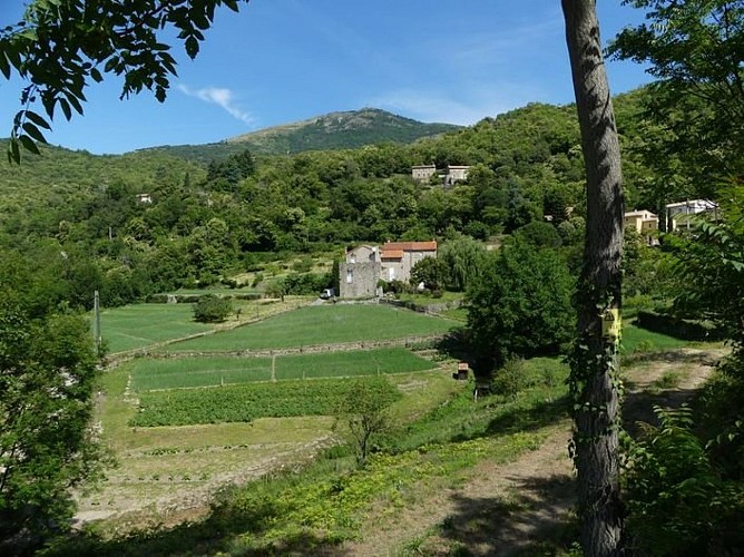
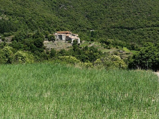
Walk between chestnut groves and holm oaks and through hamlets surrounded by gardens, orchards and crop terraces planted with mild Cévennes onions.
Departure
Mandagout
Data author
