Alert
Alerts
Grand circuit des Chapelles
Description
The route starts from the salle des fêtes parking lot in the center of the village. We advise you to follow the route in an anti-clockwise direction to reduce the difficulties.
The entire route is marked by a blue ring, which is accompanied by other signs on the map for most of the circuit.
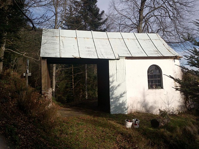
We set off in the direction of Chapelle de la Hajus, also known as Notre Dame des Champs. If the chapel is open, don't hesitate to visit it and read its history in the little frame hanging on the left of the entrance.
Then head for the 14-18 French Military Cemetery, from where you'll enjoy a beautiful view of Ste Croix aux Mines and the valley. You can walk through the cemetery or around it. There's an explanatory panel about the necropolis in front of the main entrance. Then head downhill towards the village, along the RD 459 in the direction of the village center, until you reach the Mairie (town hall), where you turn right towards Grand-Rombach, passing the St Nicolas church.
After the small ponds (approx. 200 m), take the right-hand path, still signposted with a blue ring, which climbs a gentle slope towards Creux-Chêne. You'll soon see Grand-Rombach, nestled in a side valley of the Lièpvrette.
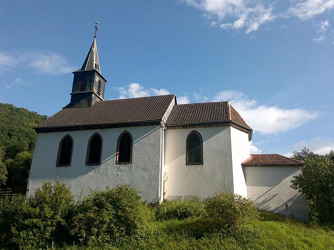
At the Creux-Chêne shelter (=> see legend in points of interest), follow the blue ring to the chapelle de la Goutte, the highest point of this hike, from where you can enjoy a beautiful panorama. => see points of interest for an explanation of the chapel.
You then head for Marigoutte and Danigoutte (in Marigoutte you'll pass a stele commemorating a soldier who died for France). Continue on to Danigoutte, where you'll see targets for archers.
You then descend to Grange Barthélemy. After this locality, at the crossroads, you'll see a beautiful cross, the curiosity of which is the fact that 11 heads have been carved in the round on the shaft. Continue towards Grand Rombach, still on the blue ring. You'll see another beautiful, richly decorated cross before arriving at the Grand-Rombach chapel called Notre-Dame du bon Secours => points of interest.
After the chapel, follow the blue-ring path to the right, which climbs steeply. This leads to the Surpense farm.
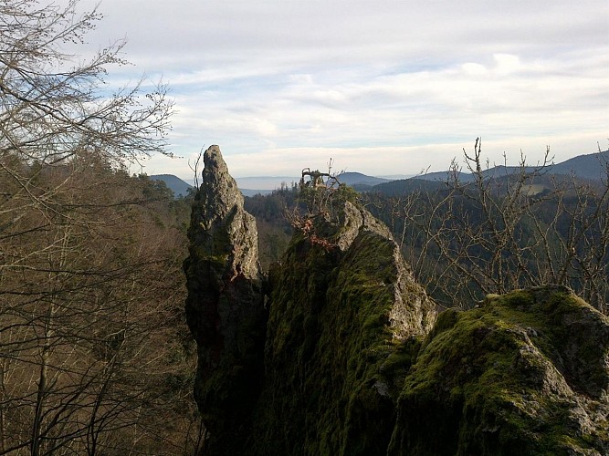
As you head towards the ruins of the Château d'Echery, you'll have a fine view of the pasture on the pass between the two valleys. (Warning: the Château is open to the public and not a safe place to climb, as there is a risk of falling. You may, however, approach the base of the rock).
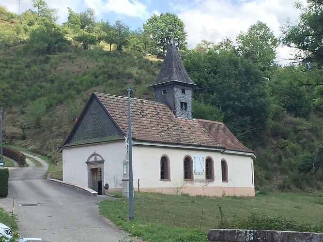
Continue on to Petit-Rombach and its chapel of St. Antoine. => points of interest
Continue towards Ste Croix aux Mines, still signposted with a blue ring, cross the RD459, Place de Gaulle and the small bridge over the Lièpvrette to reach the Oratoire de St Blaise => points of interest.
600 m from the village hall, take the Rue du Moulin to reach the end of the circuit.
Technical Information
Altimetric profile
Starting point
Additional information
Contact
Tel : 03 89 58 80 50
Email : tourisme@valdargent.com
Site web : www.valdargent-tourisme.fr
Data author
