Alert
Alerts
Via Grand Colombier
Description
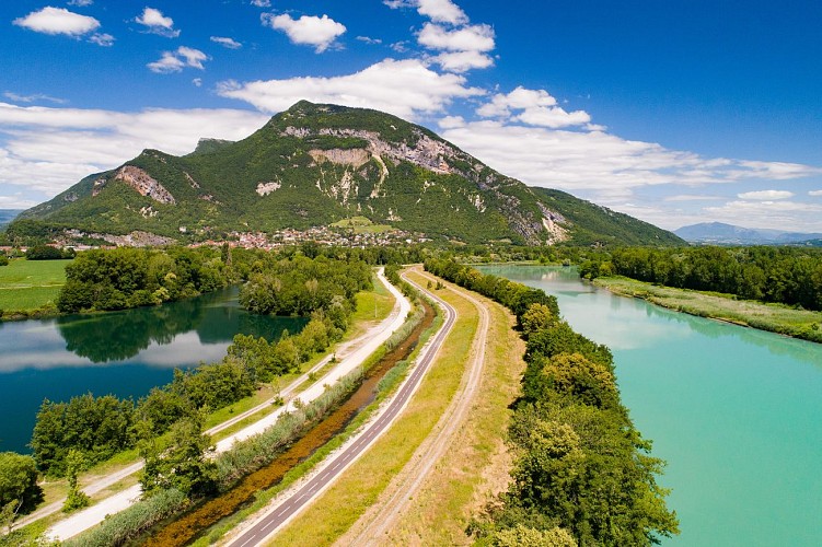
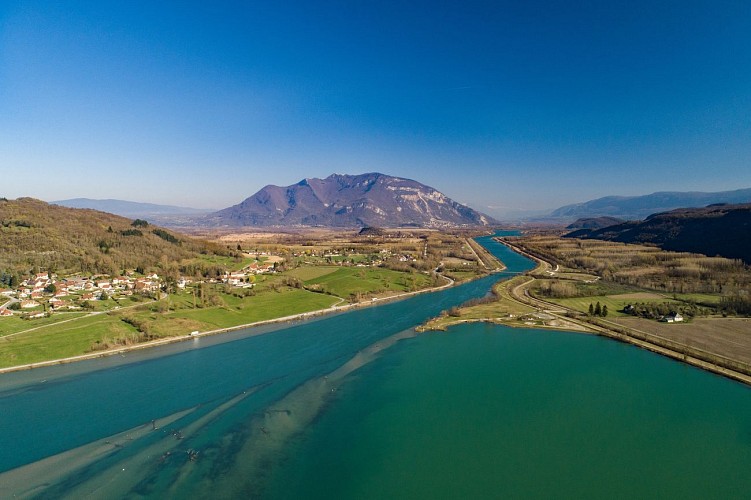
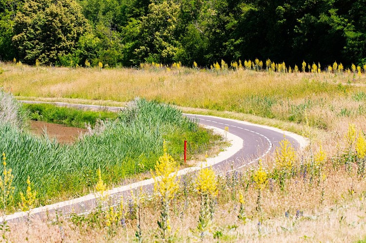
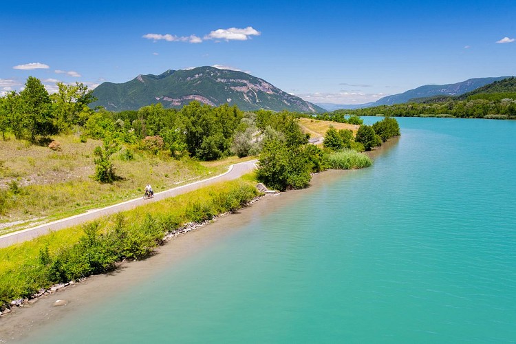
The Via Grand Colombier is a cycle path that runs along the Rhône from Culoz to Cressin-Rochefort
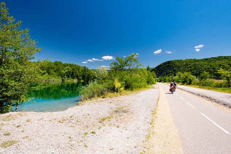
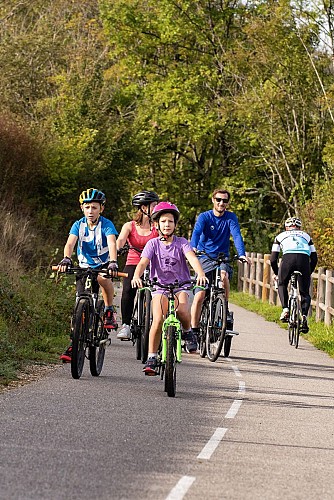
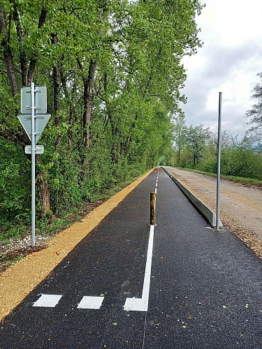
The Grand Colombier cycling route is a pleasant, flat, and safe route along the river. Built along the Rhône River, this cycle path, opened in 2026, allows you to enjoy a remarkable natural environment while traveling in complete tranquility.
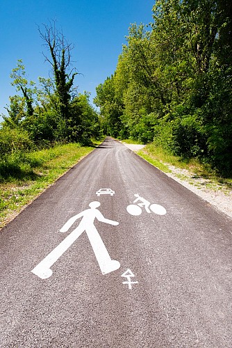
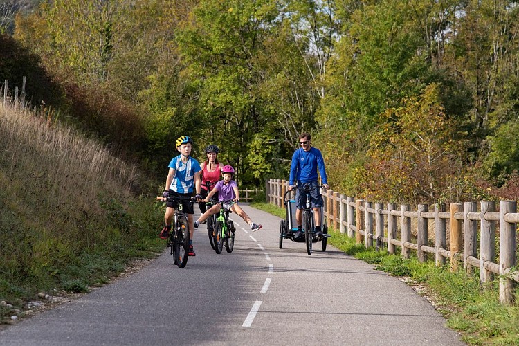
Accessible to all, it can be cycled as an out-and-back route on a dedicated and safe path, ideal for family bike rides. It is also accessible for rollerblading or roller skiing. Its flat and comfortable route makes it suitable for both families and more athletic cyclists who wish to use this cycle path to reach the legendary Grand Colombier or the many small roads in this part of the Bugey region.
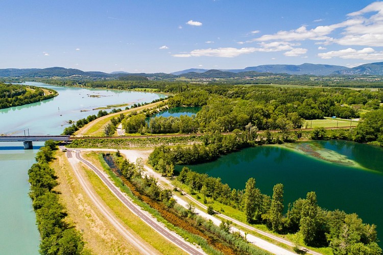
For those who prefer longer routes, it is also possible to create a loop of approximately 20 km by joining the ViaRhôna cycle route located on the other bank of the Rhône. These connections via the Pont de la Loi and the Cressin-Rochefort bridge offer varied scenery and allow you to fully enjoy both banks of the river.
Several starting points are recommended: parking at the port of Massignieu de Rives, at L'Ecoinçon, and in the village of Lavours.
The greenway is also accessible from Culoz train station, allowing for quick connections to the route by train.
Along this new cycle path located between Cressin-Rochefort and Culoz, you will peacefully follow the Rhône River, a stone's throw from the Lavours Marsh Nature Reserve, La Paillère with its inn, river stop, and copperworks, all with the Grand Colombier massif, the highest peak in the Bugey region and a legendary climb of the Tour de France, as a backdrop.
Technical Information
Altimetric profile
Starting point
Additional information
Environments
Lakeside or by stretch of water
Riverside
Waterside
View over the vineyards
Overview on river
Mountain view
In the country
Lake view
Station district
Lake -5km away
River -5 km away
Close to a public transportation
Updated by
Office de Tourisme Bugey Sud Grand Colombier - 04/09/2026
www.bugeysud-tourisme.fr
Report a problem
Open period
All year round daily.
Contact
Phone : 04 79 81 29 06
Email : contact@bugeysud-tourisme.fr
Website :
http://www.bugeyvelo.com/
http://www.bugeysud-tourisme.fr
Facebook :
https://www.facebook.com/BugeySud
https://www.facebook.com/bugeyvelo01/
Type of land
Hard coating (tar, cement, flooring)
