Alert
Alerts
Le circuit des Devèzes
Description
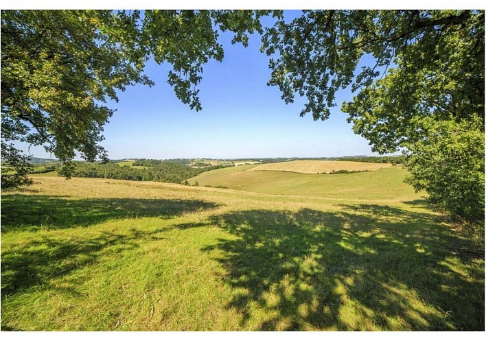
Over hill and dale. The Devèzes trail navigates over hill and dale, from one valley to another, from the Agout basin to the Dadou basin, from North to South.
Download the pdf file of the trail
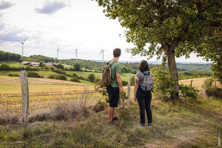
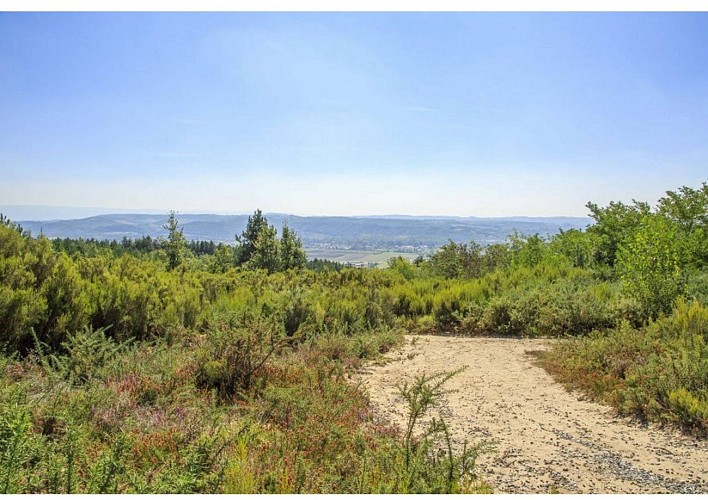
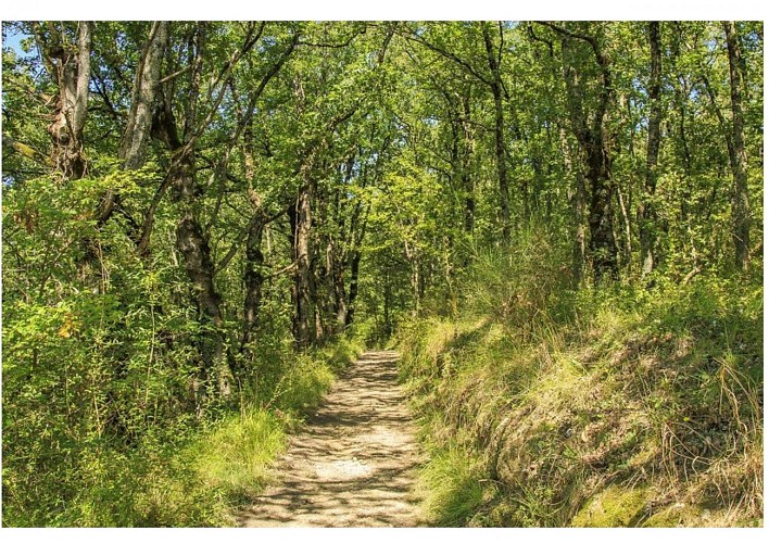
Between woods and moors, it takes the old road that linked Lautrec to Albarède. Halfway, there are three wind turbines located on the heights of Cuq. At the highest point, an astonishing viewpoint reveals the entire Agout valley with the Montagne Noire and the Pyrenees in the background. A few years ago, you could still come across a few farmers going to or returning from working their vines. Indeed, Cuq and its terreforts were a perfect place for viticulture. You could find glorious grape varieties there: Aramo, Gros Noir as the very old people called them, then, around the 1940s, they were named: American hybrids n°1, 7053, 4643. Today they are called: Merlot, Duras, Cabernet. This is evidenced all along the vineyard path by the small huts left as a legacy by agriculture from another age.
Technical Information
Altimetric profile
Starting point
Additional information
Updated by
Tarn Attractivité - 03/06/2026
www.tourisme-tarn.com
Report a problem
Contact
Phone : 05 63 97 94 41
Website : http://www.lepaysdecocagne.fr
Location complements
Departure : Hameau de Varagne in Serviès.
Arrival : Same place as the starting point.
Road access : By D49 road.
Parking recommended : Near the departure sign in the heart of the hamlet of Varagne .
Guidebook with maps/step-by-step
1. Cross the hamlet to join the D49 and keep it for 200 m. At the bridge, take the municipal road on your left towards Puycalvel. Keep this road for a few meters before attacking a path on the right at the edge of a field to reach a group of houses in "Cantemerle".
2. Go back up on your left the path first tarmac then dirt which winds through a wood for 1 km to gently climb up to the heights of Cuq. At the exit of the wood, turn left to join the road to Puycalvel. You pass at the foot of the three wind turbines.
3. When you reach the road, turn right and keep this tarmac road for 1.5 km. This section can be frightening because of the length of bitumen but it is a delight for the eyes and the traffic is not very heavy. Stay vigilant!
4. Leave the road to take a small dirt path on the left which joins another small road (towards Moulayrès). You are on the Dadou basin, due north on a small path on the ridge.
5. At the height of "La Carbonnarié" turn left, and at the first intersection, keep the dirt road on your left then a few meters further at the fork, take the path on the right.
6. Go down into a wood to exit at the place called "En Rouzieux" in the commune of Serviès. Cross the Rouzieux campsite nestled in a green setting for the return to Varagnes.
Data author
