Alert
Alerts
La boucle de l'Agout à Fréjeville

Description
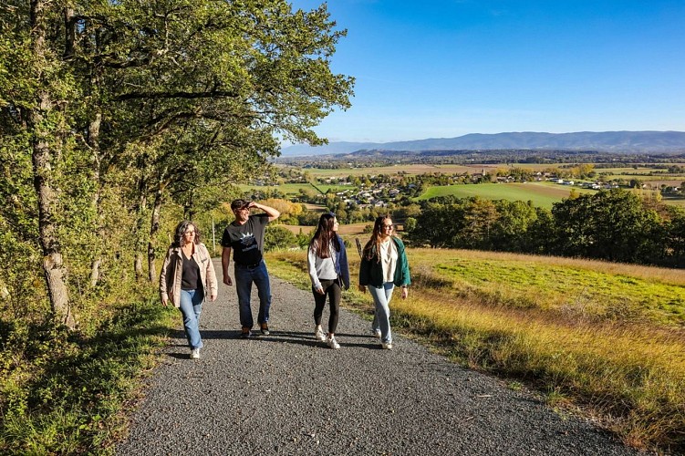
Discovering the countryside of the Fréjévillois region.
Download the pdf file of the trail
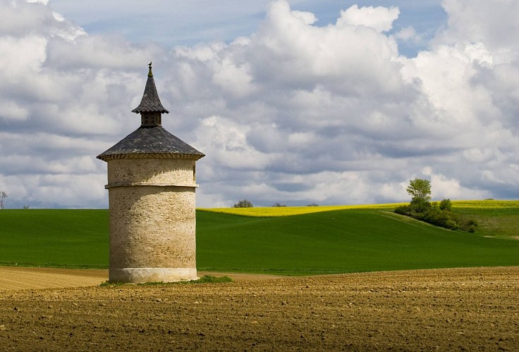
Along the route there are small signs on which you can scan QR codes which will take you to a commentary on the surrounding curiosities of the village's heritage.
Technical Information
Altimetric profile
Starting point
Additional information
Updated by
Tarn Attractivité - 03/06/2026
www.tourisme-tarn.com
Report a problem
Contact
Phone : 05 63 97 94 41
Website : http://www.lepaysdecocagne.fr
Location complements
Departure : Place René Cassin next to the Saint-Hilaire church in Fréjeville..
Arrival : Reach the pine tree which dominates a triangular central reservation, go left to return to the parking lot of Place René Cassin.
Road access : By D50 road.
Parking recommended : Park at Place René Cassin next to the Saint-Hilaire church in Fréjeville. .
Guidebook with maps/step-by-step
Park at Place René Cassin next to the Saint-Hilaire church in Fréjeville.
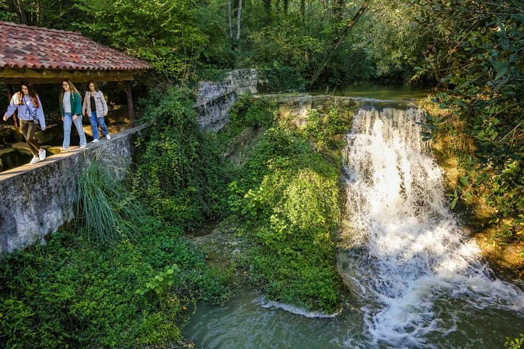
At the old press, take the street heading north to join Rue du Lavoir. At the bottom of the slope, turn left at the cross to take Route de la Mouline. Join the Lavoir de la Mouline bridge which spans the Aybes.
1. Continue on this wide path until the bend in Chemin du Quintal.
2. Turn right overlooking the cliffs of Agout. Continue to reach the crossroads of the tarmac road of En Brugues.
3. Take it on the right until near the crossroads of the D112. Turn right again, continue until the intersection of La Tourette.
4. Turn right to access the Pioch orientation table.
5. Return, by the same route, to the previous crossroads. Go right, cross the Napoleon bridge spanning the Aygues. Continue for about a hundred meters to find the crossroads of a path.
6. Turn 90° to the right on this path to then reach the Négrarié, turn left, then right to reach the D50 road.
7. Take it on the left for about ten meters then turn right on the communal path towards La Bouriette. Follow it to the crossroads of the hamlet of Rouch.
8. Take the dirt road on the left. Keep it by turning right at the next crossroads to cross the hamlet of En Sabarthés, then arrive at that of Pujol.
9. Pass to the left of the statue of Saint-Barthélemy and continue opposite. At the end of the street, go left to go down on the path that leads to the banks of the Agout. Arrive almost at the bottom, join the tree-lined path on the right that goes back up to Pujol. At the top, turn right once and left twice to go back down to the hamlet of La Grèze.
10. Reach the hamlet of Sarmes. Take the road on the right along the right bank of the Agout to the hamlet of Aupillac.
11. Leave the bank of the Agout to turn right onto the path, continue to reach a bridge before the hamlet of La Gayé.
12. Take the path on the left, until you reach the intersection with the road that runs alongside the Ginestière pond. Take it on the right, quickly find a small bridge over the Nauze stream.
13. Take it, then turn right onto the road. Reach the pine tree overlooking a triangular-shaped central reservation, turn left to return to the parking lot at Place René Cassin.
Data author
