Alert
Alerts
Warthenberg Circuit
Description
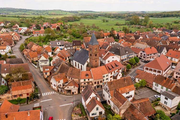
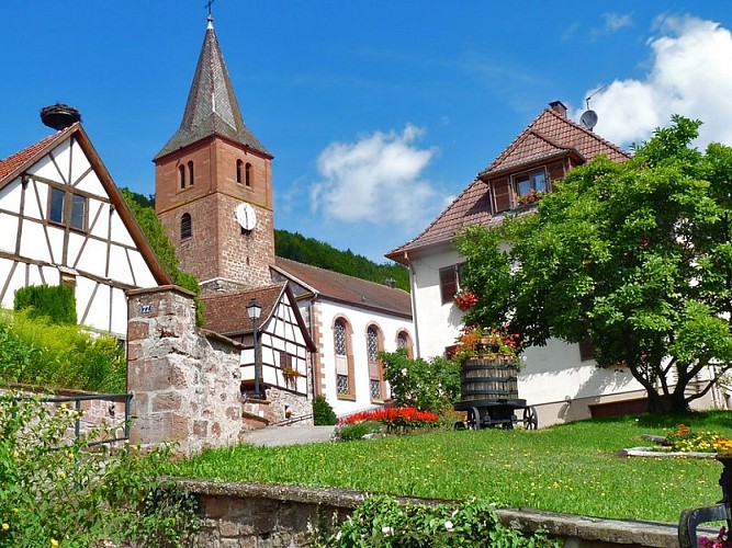
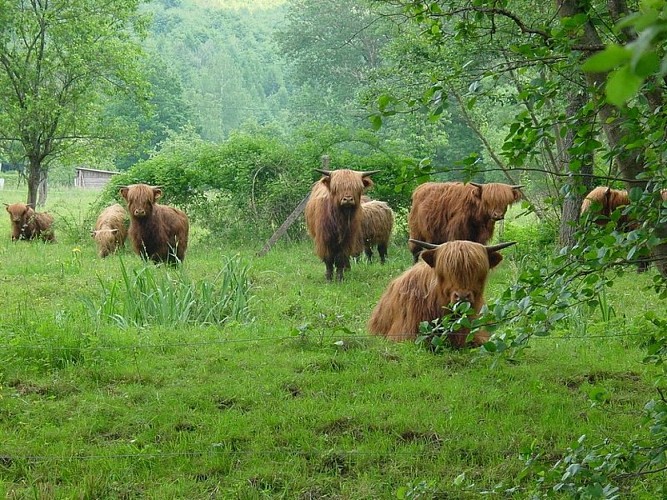
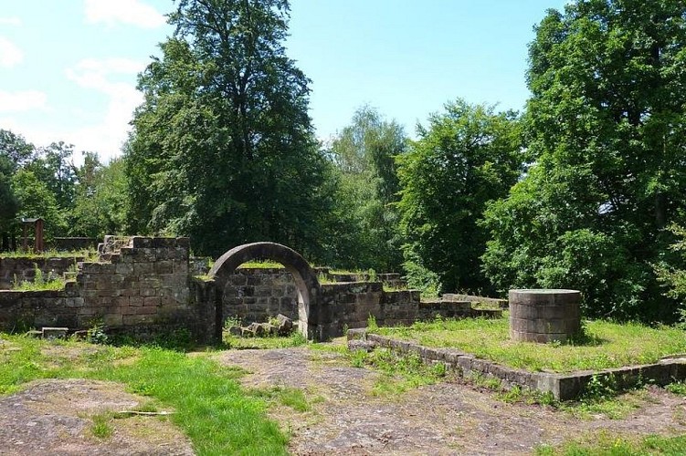
Set off to explore the foothills of the Northern Vosges on this hike, which will take you to the fortified refuge of Dossenheim-sur-Zinsel. follow the South Zinsel River and its Highland cow pastures, take you to magnificent viewpoints and the Warthenberg Castle before returning through the beautiful village of Ernolsheim-les-Saverne.
From the parking lot, head towards the village of Dossenheim-sur-Zinsel:
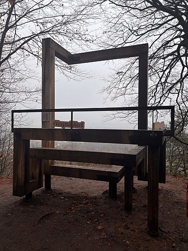
Follow the red disc on Rue d'Ernolsheim, then take the bridge on your left to continue on Grand Rue. Opposite the town hall, take the small street that climbs up to the fortified refuge to walk around it and discover its history. Return to Grand Rue and turn left onto Rue d'Oberhof, following the blue-white-blue rectangle markings.After the mill, leave the road, cross the bridge and walk along the southern bank of the Zinsel, still following the blue-white-blue rectangle markings. At the end of the Highland cow pasture, take the path uphill and follow the blue rectangle. Head towards the Forlekoepfle rock () and its view of the village of Dossenheim-sur-Zinsel. Take the time to admire the view from the “BALCON” landscape window. Continue along the blue rectangle towards Warthenberg-Daubenschlag. Walk around the ruins of this medieval castle, which was only rediscovered in the 1980s. Enjoy the view before heading back down to Ernolsheim-lès-Saverne via the yellow ring and then the red ring.At the bottom of Rue de Phalsbourg, turn left onto the main street, cross the village, still following the red ring. Head towards Dossenheim-sur-Zinsel () via the cemetery, Rue de la Zinsel, and continue along the dirt track, following the red disc, until you return to the car park.
Technical Information
Altimetric profile
Starting point
Additional information
Public transport
Dossenheim-sur-Zinsel bus stop - pressoir Fluo Grand Est bus line: Saverne/Haguenau Find your route at services.fluo.grandest.fr
Advice
IGN map: 3714ET - LA PETITE-PIERRE NIEDERBRONN-LES-BAINS NORTH VOSGES REGIONAL NATURE PARK
Advised parking
Campground parking lot
Access
From Saverne, take the D6 then the D14 towards Dossenheim/Z.
Arrival
Campsite parking lot, Dossenheim-sur-Zinsel
Departure
Campsite parking lot, Dossenheim-sur-Zinsel
