Alert
Alerts
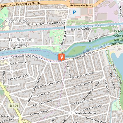
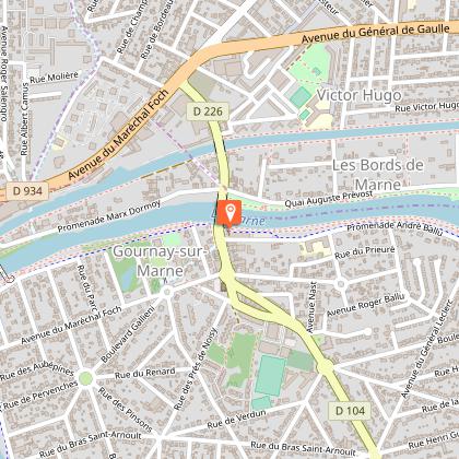
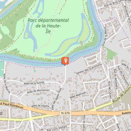
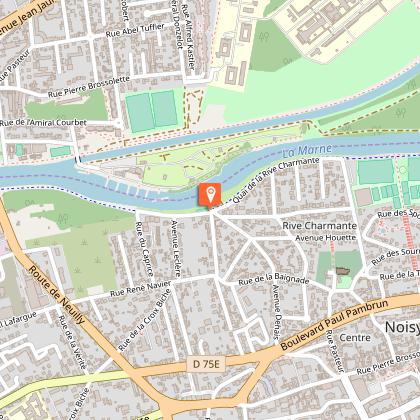
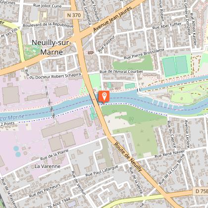
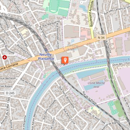
PR 26 - The trail along the Marne River
The Cirkwi brief
Embark on the PR 26 path, crafted meticulously by FFRandonnee Seine-Saint-Denis, offering an enchanting blend of both historical and modern industries along the Marne River's scenic edges. This unique route immerses you into a world where nature's tranquility meets industrial heritage, showcasing an astounding variety of landscapes, flora, and fauna. The beauty of this journey lies not only in its physical appeal but also in the underlying stories of development and conservation it narrates, making it an ideal escapade for those yearning for a serene yet insightful adventure.
Brief Technical Review
Spanning 7 km with an altitude variance from 35 to 42 meters, the PR 26 trail highlights the geographical subtleties of the Marne's edges. Given the gentle altitude difference, it presents an easily negotiable path for walkers of all ages and fitness levels. Moreover, the meticulously calculated positive gradient ensures a leisurely yet engaging experience. This route, devoid of strenuous climbs, makes it an attractive choice for enthusiasts looking to immerse in the scenic and industrial tapestry of the Marne without taxing physical exertion.
Seasonal Tips and Safety
Regardless of the season, the PR 26 offers distinct perspectives of the Marne's borders. For an optimal experience, spring and autumn are recommended due to the mild weather and the vibrant colors that enhance the landscapes. However, visitors should always prepare for weather changes by carrying rain gear and wearing layered clothing. For safety, adhere to marked paths and respect nature reserves encountered along the way. Summer calls for sunscreen and adequate hydration, whereas winter requires cautious walking on potentially slippery paths.
Local History Unveiled
The Marne region, rich in culture and history, serves as a vibrant tableau reflecting various epochs. From ancient Roman occupation to pivotal roles during both World Wars, its banks whisper tales of resilience and transformation. The industrious past juxtaposed with commitment to nature conservation makes this area a fascinating study of progress and preservation. The PR 26 path, therefore, not only offers a physical journey through picturesque landscapes but also a profound walk through the annals of time, embodying the spirit of the department of Seine-Saint-Denis and its evolution.
Climate Insights and Best Times to Visit
The climate in the Marne region typically features mild summers and cool winters, making it suitable for year-round exploration. Springtime, from April to June, with its cooler temperatures and blooming landscapes, offers an idyllic setting for hikers. Similarly, the autumn months of September to November charm with crisp air and a kaleidoscope of changing leaves, ideal for those who prefer a quieter, more colorful backdrop. It's advisable to avoid the peak summer months for a more comfortable journey, given the potentially higher temperatures and busy trails.
Technical Information
Altimetric profile
Starting point
Steps

Data author
