Alert
Alerts
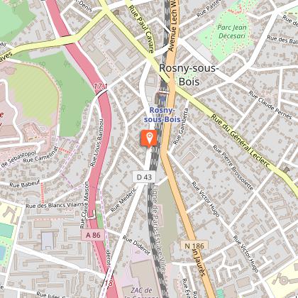
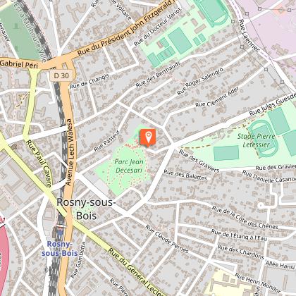
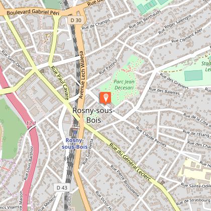
PR 25 - The circuit of Rosny sous Bois
The Cirkwi brief
Embark on a walking journey like no other with the PR 25 circuit in Rosny-sous-Bois, designed by FFRandonnee Seine-Saint-Denis. This route paints a vivid picture of the city's rich natural, cultural, and historical heritage. Feel the pulse of Rosny-sous-Bois as you traverse this path, offering unparalleled views of the French capital and its sprawling plains. The strategic location of the forts across Seine Saint Denis is a testament to the area’s significance, woven seamlessly into the fabric of this adventure.
Technical Insights of the Route
The PR 25 circuit spans a total distance of 13 kilometers, navigating varied terrains with an elevation range between 54 to 116 meters above sea level. The route boasts a cumulative positive elevation gain of 454 meters, challenging yet rewarding for avid hikers. This meticulously planned itinerary encapsulates the essence of Rosny-sous-Bois, offering an intimate glimpse into its natural and man-made marvels. Compiled by FFRandonnee Seine-Saint-Denis, this circuit is a testament to the beauty and resilience of the landscape.
Seasonal Guidance and Safety Tips
When exploring PR 25, preparedness is key regardless of the season. During spring and autumn, equip yourself with layers and sturdy waterproof footwear to tackle the unpredictable weather. Summer provides a lush, green canvas under sunny skies, ideal for leisurely walks; however, hydration and sun protection are a must. If traversing in winter, ensure you have warm clothing and be wary of slippery paths. Safety is paramount; always inform someone of your route and estimated return time for a hassle-free adventure.
Deep-Dive into Rosny-sous-Bois' Essence
Rosny-sous-Bois, nestled in the heart of Seine-Saint-Denis, is more than a mere waypoint on a map. Its roots extend deep into the annals of French history, embodying a blend of cultural vibrancy and strategic significance. This city, part of the bustling Île-de-France region, stands as a testament to emergent urban dynamics while preserving its historical fabric. The forts dotting the landscape speak volumes of the past, serving as silent guardians of history and offering onlookers a glimpse into bygone eras.
Weather Patterns and Ideal Visit Times
The climate of Rosny-sous-Bois is typically temperate, marked by mild winters and warm summers. Rainfall is evenly distributed throughout the year, with occasional spikes in spring and autumn. For those planning to embark on the PR 25 circuit, the months of May through September offer the most conducive weather conditions. These months promise ample sunshine, with moderate temperatures setting the perfect stage for your walking expedition through this captivating landscape.
Technical Information
Altimetric profile
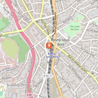
Starting point
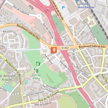
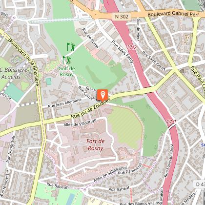
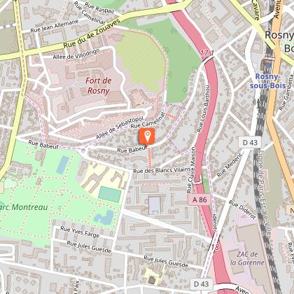
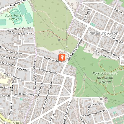
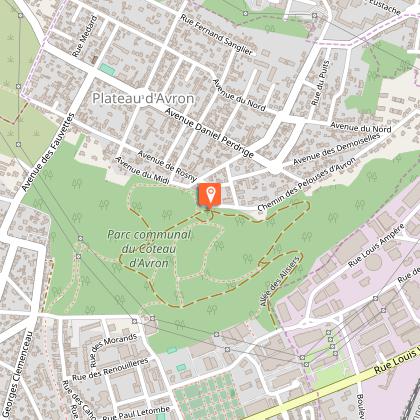
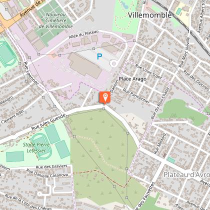
Steps
Data author
