Alert
Alerts
Loop hike from Valmy Castle to Banyuls via the Col des Gascons and the coastal path
Description
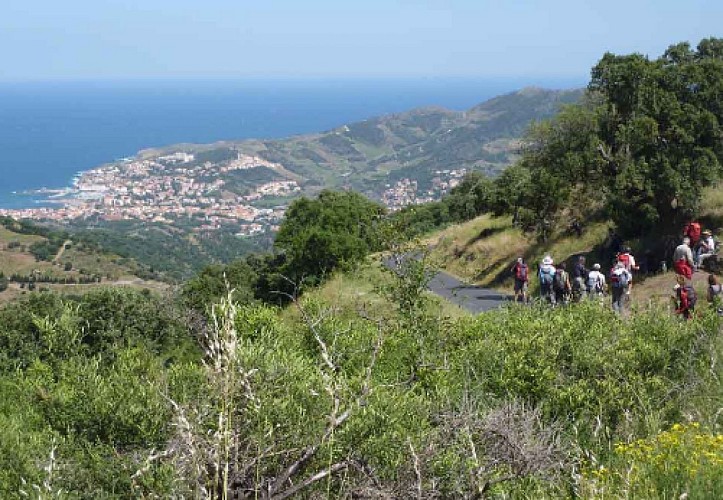
/!\ Detour before the Porteils Coves Campsite due to severe weather.A loop hike between sea and mountains, where every step reveals a new horizon.
Start from the parking area towards Camping des Mimosas. Before reaching the campsite, take the track on the left, DFCI AL42. Take the path on the right above the château grounds, then rejoin the track a little further on.
Climb the path straight ahead towards the dolmens.
After the first dolmen, follow the path, then take the right fork and continue uphill to the second dolmen.
After this one, take the path on the right. At the junction, stay on the path that connects to the DFCI AL41 ter track (picnic table).
Head towards Col d’en Verderol (787 m), avoiding the route via Col de la Place d’Armes. Continue the itinerary towards the Tour de Madeloc.
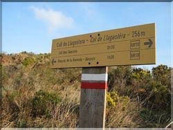
At this point, take the middle path towards Col des Gascons (387 m).
After enjoying this exceptional panorama, take the rightmost path towards Notre-Dame-de-la-Salette Chapel. Continue towards the centre of Banyuls-sur-Mer.
Follow the Cami de la Salette (picnic table), then the Cami del Ramader, and the Mas Puig road.
After the gendarmerie, turn left and follow the Baillaury River along Avenue Général de Gaulle (all the way to the end). Turn right to reach the Banyuls Tourist Office.
Follow the waymarking of the coastal path to Le Racou.
Cross the Valmary woodland (or walk through the typical Racou district), then at the roundabout turn left.
At the junction, turn right,
then a few metres further on turn left. Pass under the railway line and the D914 road.
Climb up on the left through the vineyards to reach Valmy Castle.
Technical Information
Altimetric profile
Starting point
Additional information
Public transport
Bus 2€
Advice
This route is offered as a multi-day hike.Overnight stays are possible in Banyuls-sur-Mer or Port-Vendres.Bring water, a cap, snacks, sunscreen, a windbreaker, and possibly a waterproof jacket.Stay on marked trails at all times.Respect nature and take your litter with you.Remember to check the weather forecast before setting off, as well as the wildfire risk in the massif.
Advised parking
Valmy Castle car park
Access
D914, Valmy exit.
Arrival
Château de Valmy
Ambiance
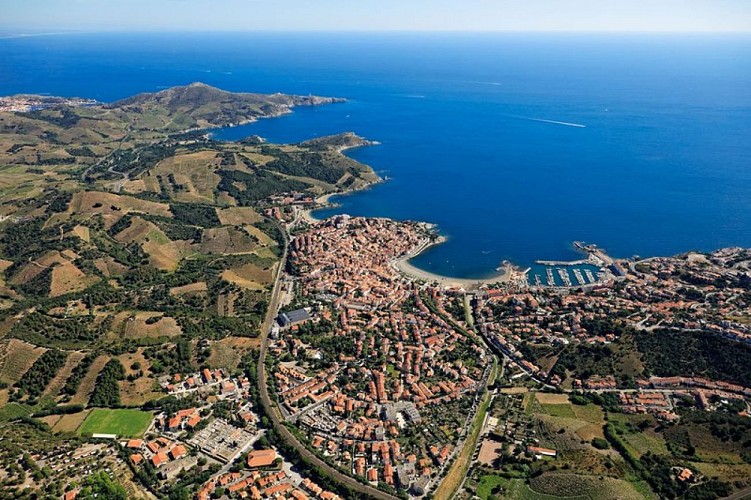
A spectacular loop hike starting from Valmy Castle, winding through wild ridgelines, panoramic mountain passes, and the coastal path. This route reveals the contrasting landscapes of the Albères Massif, including the Massane Forest Nature Reserve, as well as the vineyard work shaping the land between Argelès-sur-Mer and Banyuls-sur-Mer. On the return, the coastal path offers exceptional flora, secluded beaches and idyllic coves, along with remarkable cultural heritage.In every season, the scenery unfolds in a different palette of colors.
Departure
Château de Valmy
