Alert
Alerts
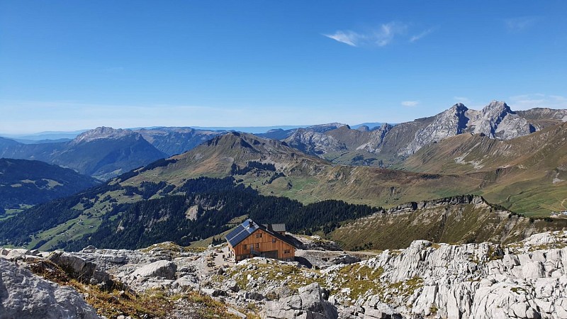
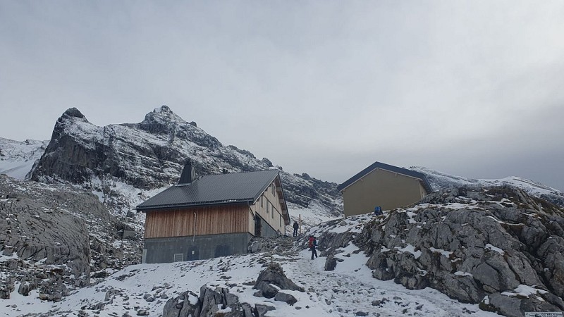
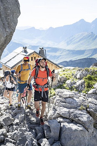
Refuge de la Pointe Percée, via Les Confins
Description
A varied, sporty hike, between forest under the Aravis combes and alpine pastures for the sustained final climb to the refuge.
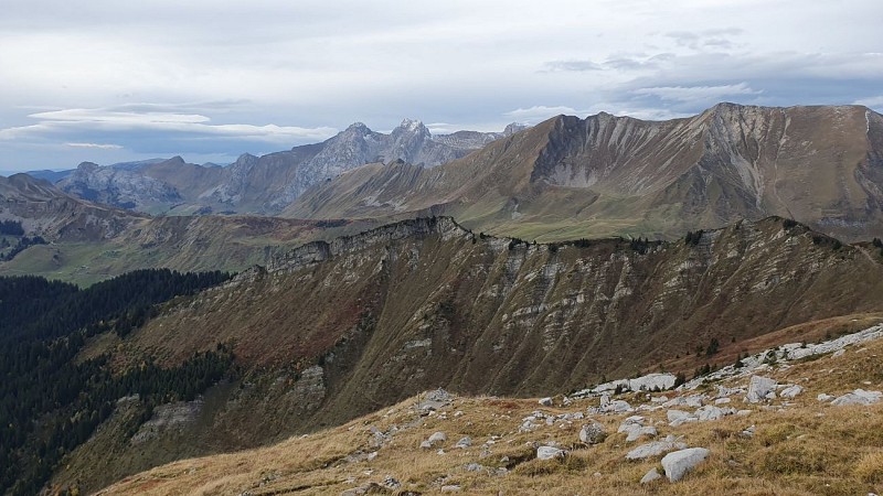
Passing from chalet to hut (Chalet de Paccaly, Refuge et chalets de La Bombardellaz, Refuge de Gramusset, ...) with numerous viewpoints over the various Aravis combes.
Don't miss the opportunity to have a drink and a bite to eat at Refuge de Gramusset, below Pointe Percée, the highest point in the Aravis Range (2752 m). Breathtaking panoramic views and the chance to spot ibex.
Technical Information
Altimetric profile
Starting point

Date and time
- From 15/06/2026 to 30/09/2026
- From 15/06/2027 to 30/09/2027
Additional information
Open period
From 15/06 to 30/09 daily.
Please check with the Tourist Office beforehand for current access conditions.
Subject to favorable snow and weather conditions.
Updated by
Office de Tourisme de La Clusaz - 06/05/2026
www.laclusaz.com
Report a problem
Environments
Lakeside or by stretch of water
Mountain view
Panoramic view
Waterside
Lake view
Mountain location
Presence of livestock and guard dogs
Contact
Phone : 04 50 32 65 00
Email : infos@laclusaz.com
Type of land
Rock
Stone
Ground
Not suitable for strollers
Location complements
Parking: Arpettaz car park.
In high season, access is also possible by Aravisbus shuttle bus: Line 1 (Les Confins), stop “Confins Chapelle.”
Topo guides and map references
Topo guides references :
Hiking Guidebook TOURNETTE | BORNES | ARAVIS : "Randonnées Sportives et Incontournables" (available for purchase at the Tourist Office for €3, in French only).
Map references :
Route Map TOURNETTE | BORNES | ARAVIS (available for purchase at the Tourist Office for €5, only in French).
IGN Top 25 Map 3430 ET: La Clusaz – Le Grand-Bornand (available for purchase in bookshops or similar retail outlets).
Reception complements
Whatever hike you choose, remember to pack snacks, enough water, sunglasses, sunscreen, a small first-aid kit, as well as clothing suitable for your outing depending on the season and the weather forecast.
Animals
Yes. Dogs must be kept on a leash at all times. Er zijn kuddes aanwezig die bewaakt worden door beschermingshonden.
