Alert

Alerts

To see around
See more
Open
Close
Show
Show
Show
Show
Show
Show
Show
Show
Show
Show
Show

Oups... It would appear that Cirkwi does not have permission to use your location.

Presentation
Description
Map
Points of interest
Ratings and reviews
See around

Entre Sables et Lauzes" trail

Between sand and slate
Credit : gard tourism

Description

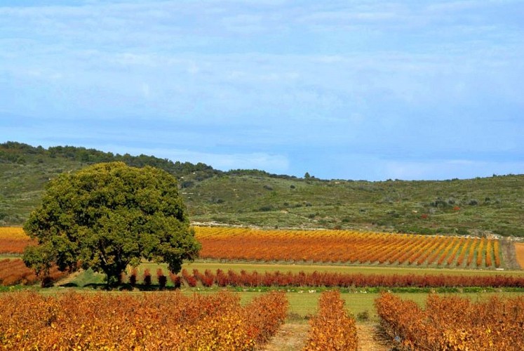
Discover our heritage, terroir and grape varieties along this trail ...

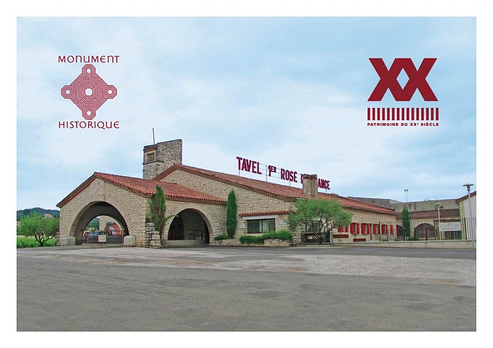
Departure from Cave de Tavel, follow signs 1 to 14, via Route romaine, Aire d'autoroute, Cravailleu, Rue de la Fontaine, Les Carteresses then Route romaine and Cave de Tavel.

Technical Information

Walking
Difficulty
Not specified
Duration
1h30mn
Dist.
4.5 km
Show more

Altimetric profile

Starting point

Les Vignerons de Tavel et Lirac Route de la Commanderie , 30126   Tavel
Lat : 44.011438Lng : 4.709203

Additional information

Updated by

Office de Tourisme Provence Occitane - 27/07/2026
www.provenceoccitane.com/
Report a problem

Open period

All year round daily.

Contact

Phone : +33 (0)4 66 50 03 57

Email : contact@cave-tavel-lirac.fr

Website : https://cave-tavel-lirac.fr/

Topo guides and map references

Topo guides references :
Côtes du Rhône Gardoises" guidebook

Data author

Image Gard Tourisme
proposed by Gard Tourisme
13 rue raymond Marc 30000 Nîmes France

Ratings and reviews

To see around
See more
Open
Close
Show
Show
Show
Show
Show
Show
Show
Show
Show
Show
Show
Caution!
We have no information on the difficulty of this circuit. You may encounter some surprises along the way. Before you go, please feel free to inquire more and take all necessary precautions. Have a good trip! 🌳🥾