Alert
Alerts
Trail route n° 11 - La Tête des Corbeaux
Description
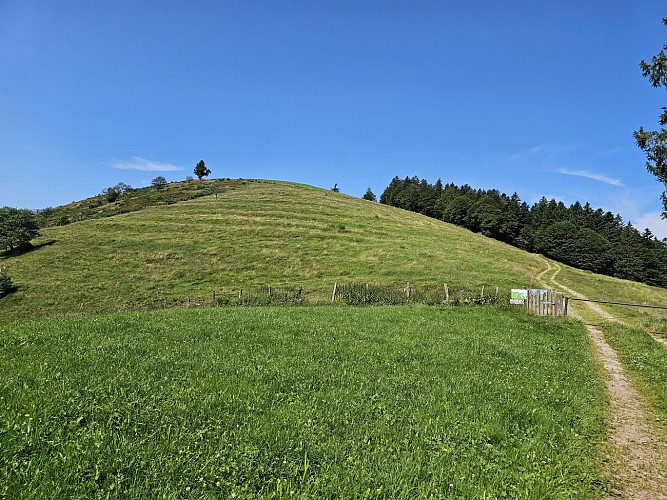
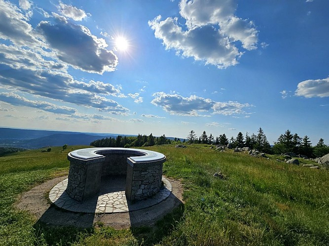
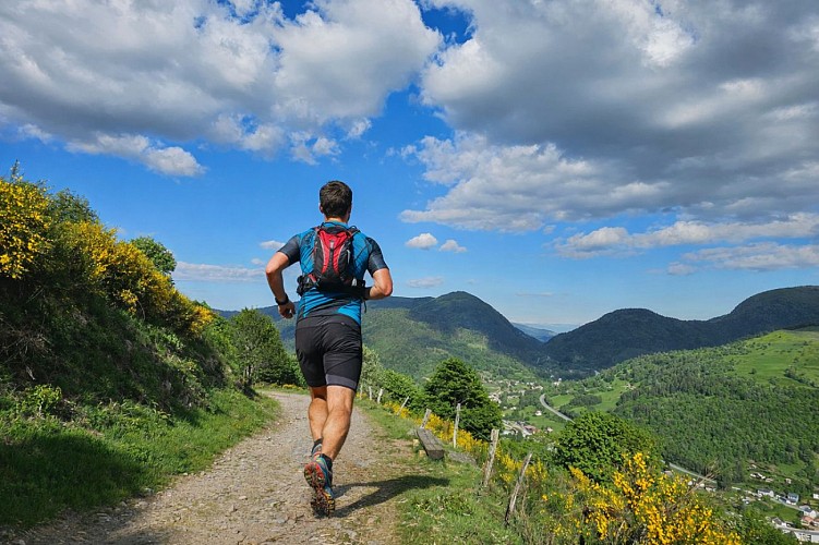
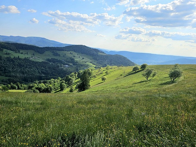
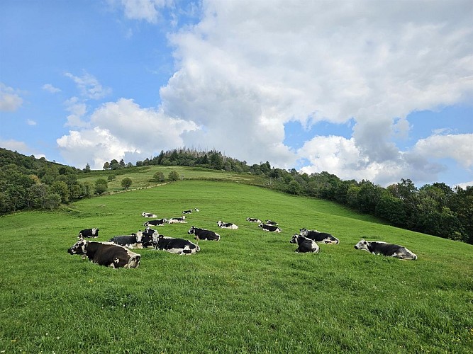
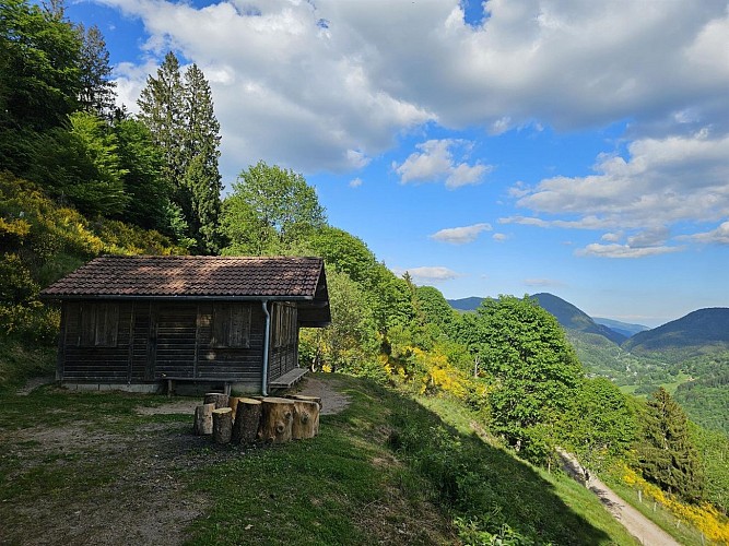
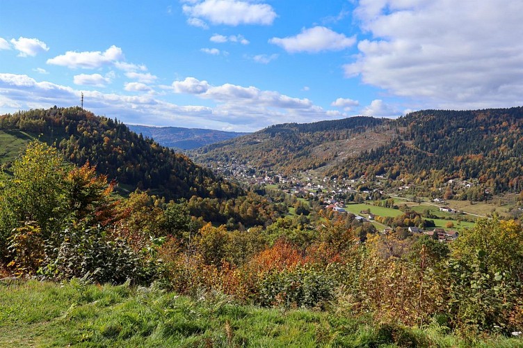
Length of the route: 24.34 km – Elevation gain: 920 m – Duration: 2 hours 45 minutes to 5 hours 30 minutes – Markings: Trail n°11 red sign + Club Vosgien sign – Level: difficult. Start: tourist Office car park. Starting from the village of Le Ménil, this route offers a lovely, long outing in the heart of the Vosges forests. This route follows cross-country ski trails. It is closed during the winter season (running on cross-country trails is prohibited); before setting off, please check the snow report to see whether the Nordic area is open or not. Caution: this route passes through farming areas (Tête des Champs). Guard dogs may therefore be present. This route may also be temporarily closed to accommodate the needs of farmers. Please follow the correct safety guidelines when encountering guard dogs: remain calm, do not approach the herd and do not interact with the dog. Finally, bypass the area if possible. The first part of the route climbs steadily, passing the Chapelle de Pitié, the Beaudevé climbing site and the Chapelle de la Salette, up to the first high point, the Tête des Champs. From this summit, you can enjoy the region’s rolling landscapes. The second part of the route, which takes you deeper into the woodland, will immerse you in the atmosphere of the dense fir forests. Once you have passed the Abri du Bonhomme and the Kinsmuss, and crossed the Col de Rochelotte, you will descend towards the ski resort Larcenaire. You’ll take a balcony path to the Chalet and the Fresse cross before a final push to reach the Col de la Lochère and the Hauts de la Lochère. You’ll finish the circuit by skirting the Tête des Renards and then descend towards the village along a very pleasant single-track path. The routes on your smartphone... All the routes of the Espace Trail des Ballons des Vosges are available free of charge on your smartphone thanks to the Trail Connect app in the ‘Destinations à découvrir’ (Destinations to discover) section. GPX and PDF files of the tour can be downloaded below.
Technical Information
Altimetric profile
Starting point
Additional information
Producteur de la donnée
Ces informations sont issues de la plateforme SITLOR - Système d’Information Touristique - Lorraine
Elles sont synchronisées dans le cadre du partenariat entre Cirkwi, l’Agence régionale du Tourisme Grand Est et les membres du comité technique de Sitlor.
Contact
Email : xvaldenaire@gmail.com
Site web : espacestrail.run/ballonsdesvosges
