Alert
Alerts
Enduro Mountain Bike Trail No.29 : la Full Gars
Description
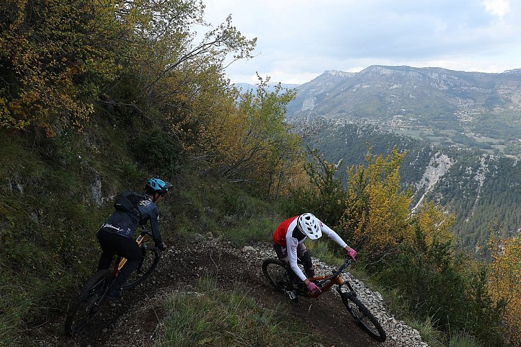
This Enduro circuit takes you down a major descent located on the northern slope (ubac) of L’Arpille. It is a condensed version of the All-Mountain route n°30, "La Full Gars from L’Arpille," keeping only the very best of the downhill section (minus the panoramic view at the start).
Total circuit including connecting sections: 25.2km and 900m elevation gain/loss
Enduro special stage: 4km and 650m descent / 30m ascent
Type of ride: Enduro/e-MTB
Route composition (35% tracks, 45% roads, 35% trails)
Duration: 3 hours
Signposting: Yes
Start: village of Saint-Auban
It has also been used as the route for one of the special stages of the Monts d’Azur MTB Enduro.
The special stage covers approximately 4 km with 650 m of descent, featuring a wide variety of terrain, part of which has been specially marked out for mountain biking.
It is interspersed with two connecting sections. The return route between the villages of Gars and Saint-Auban, although relatively long, remains pleasant and easy to ride. The beautiful cobbled paths are well worth the effort… unless you’d prefer to take a shuttle bus between Gars and Saint-Auban!
The route begins at the lakes of Saint-Auban, heading towards the RD5 road towards the hamlet of Le Défens, which you should pass by.
About 1.5 km further on, the route branches off to the left towards the Hêtraie communal forest.
This is followed by a climb along a track beneath the beech trees to the Col de Baratus, where you’ll find hiking marker no. 120. At this point, you must leave the hiking route and continue along a DFCI track. Follow this track for 1 km until you reach the first section of the special stage. Stay on the track for another 1 km to reach the upper section, situated higher up.
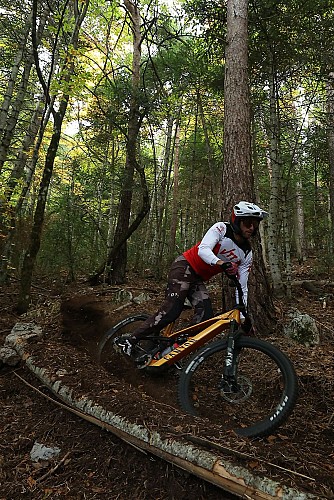
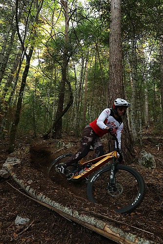
The special stage is marked by an enduro marker on the right. This first section, recently developed, offers a magnificent sequence of banked bends on loose soil, in the heart of a fir forest reminiscent of the Alpine landscapes of Haute-Savoie.
The trail continues along a long, restored section, consisting of hairpin bends with smooth curves, before ending in a superb section of grey earth, featuring a few final banked bends.
Please note: the second part of the descent follows a PDIPR route. You may encounter walkers here. Adjust your speed and remain vigilant.
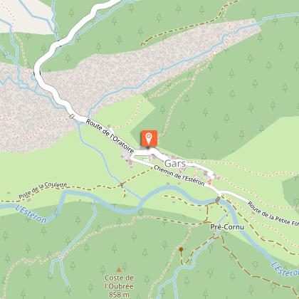
After passing through the village of Gars, where you can top up your water supplies, turn right at marker no. 35 to join the Sentier de l’Houmée, which is an easy climb.
This is followed by a 7 km road section to Saint-Auban via the RD2211. The route passes through the village of Briançonnet, where a water point is available, then runs alongside the magnificent Clue de Saint-Auban before returning to the starting point.
Technical Information
Altimetric profile
Starting point
Points of interest
Additional information
Updated by
Pays de Grasse Tourisme - 16/09/2026
www.paysdegrassetourisme.fr/
Report a problem
Open period
All year round daily.
Contact
Phone : 04 93 36 66 66
Email : info@paysdegrassetourisme.fr
Website : https://www.paysdegrassetourisme.fr/
Type of land
Ground
Data author
