Alert

Alerts

To see around
See more
Open
Close
Show
Show
Show
Show
Show
Show
Show
Show
Show
Show
Show

Oups... It would appear that Cirkwi does not have permission to use your location.

Presentation
Description
Map
Points of interest
Ratings and reviews
See around

N°1 Saint-Auban X-country

N°1  Saint-Auban X-country

Description

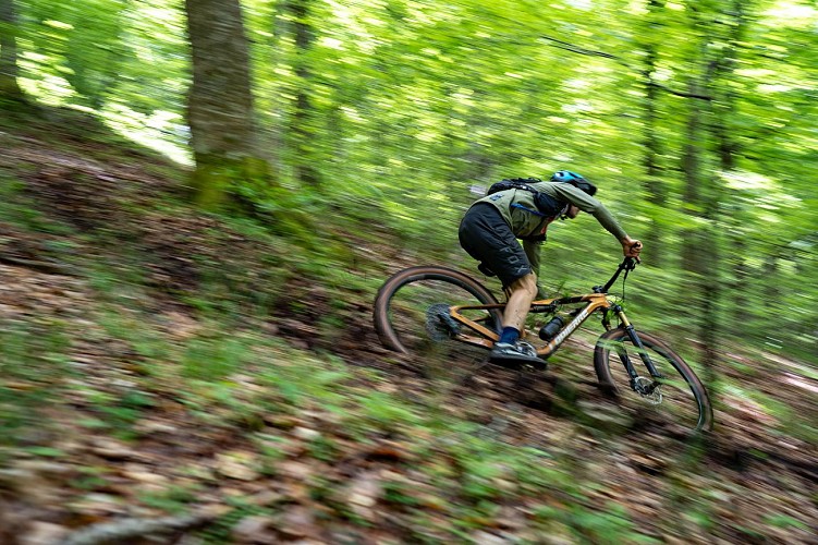
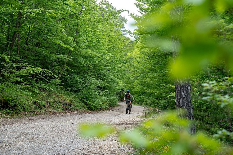
An accessible and varied mountain bike loop around the village of Saint-Auban, winding through beech forests, along the banks of the Estéron River, and past crystal-clear lakes — perfect for an easy, nature-filled ride.

Technical Information

Mountainbiking
Difficulty
Easy
Duration
1h30mn
Dist.
10 km
Show more

Altimetric profile

Starting point

06850   Saint-Auban
Lat : 43.846884Lng : 6.728792

Points of interest

image du object

La Moulière Bike Park

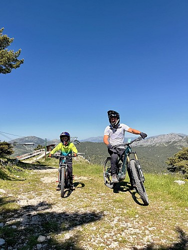
Just 1 hour from the sea, in the Grasse highlands, the La Moulière Bike Park welcomes you with its 6 downhill mountain bike trails and 2 touring mountain bike trails. Whatever your level, La Moulière is a real spot for riding!DH downhill mountain biking Our trails are on average 1.5 km long and have a vertical drop of between 200 and 220 m. 6 DH trails are composed of several levels: - 1 green run: an easy run, the "Charbonnière" is fairly flat, with no high-speed sections. - 1 blue run: a medium-sized run featuring banked turns and other features, known as "La Bleue". - 3 red runs: difficult runs with launch ramps in the undergrowth, footbridges, jumps that throw everything off... all on a track 50 to 40 cm wide between earth and stones. - 1 black run: very difficult run that shoots straight down the slope, passes through scree where the track is 25 cm wide, and requires slaloming between stones on a steep slope. You'll also find a mini Bike Park at the foot of the chairlift for your children, featuring scale models of low tables, rockers and rides. We remind you that you must wear a helmet, and strongly recommend that you also wear a chest protector, knee pads and elbow pads. Mountain biking 2 mountain bike trails are available: The first, 10 km long, will take you leisurely along the Audibergue ridge with a splendid view stretching from Cap d'Antibes to Toulon and Corsica (when the view is clear), then down to the Audibergue resort and back through the undergrowth to the Moulière chairlift. The second is much shorter, taking you down along the Moulière chairlift on a wide, easy-to-access trail.

Plaine de Caille - La Moulière 06750 Caille
- Pays de Grasse Tourisme -
Consulter

Additional information

Environments

Mountain location

Updated by

Pays de Grasse Tourisme - 06/05/2026
www.paysdegrassetourisme.fr/
Report a problem

Open period

All year round daily.

Contact

Phone : 04 93 36 66 66

Type of land

Ground

Animals

Yes

Data author

Ratings and reviews

To see around
See more
Open
Close
Show
Show
Show
Show
Show
Show
Show
Show
Show
Show
Show
Caution!
We have no information on the difficulty of this circuit. You may encounter some surprises along the way. Before you go, please feel free to inquire more and take all necessary precautions. Have a good trip! 🌳🥾