Alert
Alerts
Type of practice
Walking
Very easy
3h40mn
Presentation
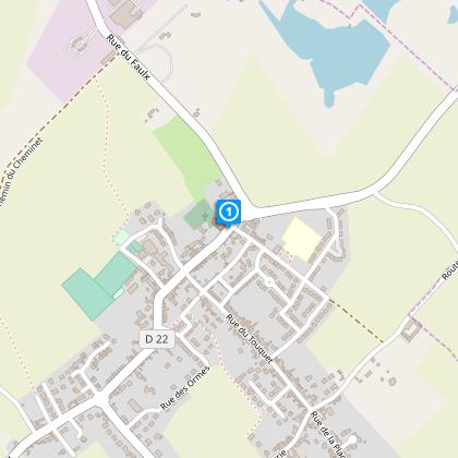
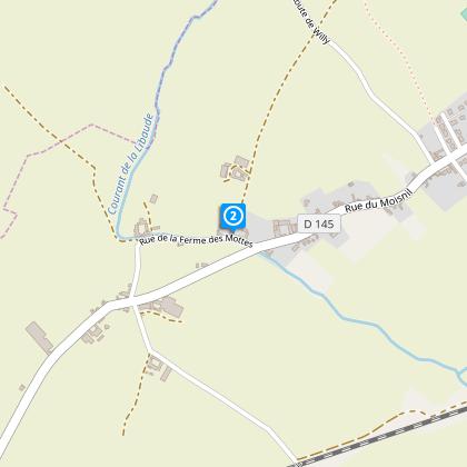
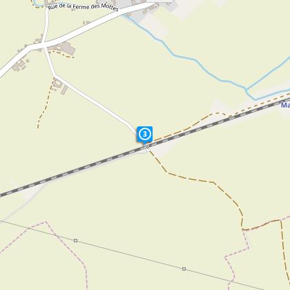
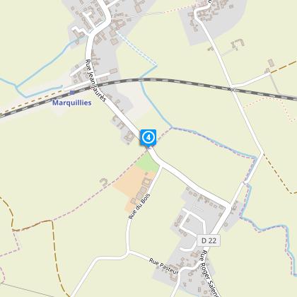
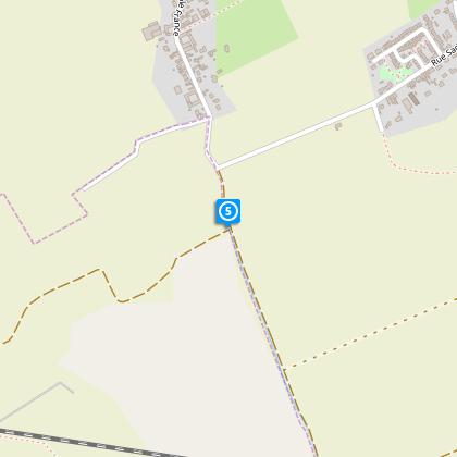
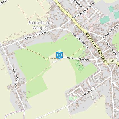
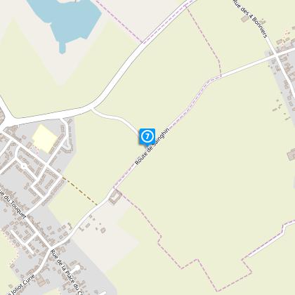
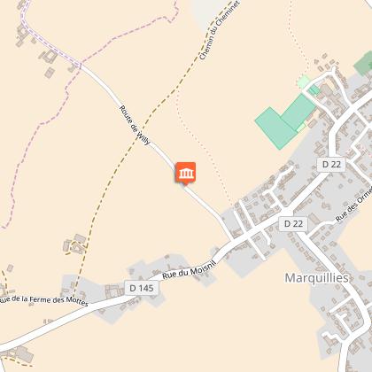
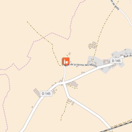
Map
Steps
Points of interest
Cirkwi brief's
Ratings and reviews
See around
Around the Libaude


Credit : Département du Nord
The Cirkwi brief
Explore the Rustic Charms of Marquillies' Countryside
Venture into the heart of Northern France with a unique walking itinerary designed by Nord Tourisme that takes you around the quaint village of Marquillies. This route, primarily agricultural, promises not just a journey through serene landscapes but also a whisper of history as it loops around. The path is clearly marked in yellow, ensuring a leisurely stroll without the fear of losing your way. The nearby Cimetière Militaire Allemand adds a poignant touch to the journey, making it not just a walk but a journey through time. Perfect from April to October, this trek offers more than just a breath of fresh air; it's a dive into the essence of the region.
Technical Insight and Stats Brief
This meticulously charted course stretches approximately 11.27 kilometers, with the lowest altitude at 21 meters and the highest at 35 meters. Despite the relatively flat terrain, walkers should be prepared for a minor total elevation gain throughout the journey. The route predominantly hugs agricultural lands and requires caution along the RD 145, though it generously provides a wide shoulder for safety. It's an accessible trek for most, marked by gentle undulations that won't challenge the seasoned hiker but will delight those seeking a tranquil walk.
Seasonal Tips for Safe Travels
As your local guide, I advise embarking on this picturesque journey during the advised months of April through October when the weather conditions are most favorable. Especially keep in mind the importance of visibility along the RD 145 – wearing reflective or bright clothing can be a lifesaver. Always carry water, especially in the warmer months, and consider light rain gear as the weather can be unpredictable. Lastly, do respect the pathway and its natural and historical sites by sticking to the marked trails and leaving no trace behind.
Marquillies: A Glimpse into History
Marquillies, nestled in the Nord department of France, is not just a locale of natural beauty but steeped in rich history. This territory has seen times of tumult and peace, with the Cimetière Militaire Allemand serving as a silent witness to the past conflicts. The region's agricultural roots are profound, and this walking route offers a unique insight into the life and landscape shaped by centuries of farming. It is a testament to the resilience and timeless charm of Northern France, inviting explorers to tread softly upon its storied grounds.
Climate Guide for Optimum Visit
The climate in Marquillies and the surrounding Nord region typifies Western Europe, with mild winters and pleasant summers. Maximum enjoyment of the walking trail is from April to October when the weather is most amenable. During these months, expect average temperatures conducive to outdoor activity, with occasional rainfall that adds a refreshing touch to the rural landscape. For those planning a visit, early summer and late spring offer the ideal balance of warm days and cool nights, enhancing the overall experience of this rustic escapade.
Automatically generated.
Technical Information
Walking
Difficulty
Very easy
Duration
3h40mn
Dist.
11 km
Type of practice
Walking
Very easy
3h40mn
Show more
Altimetric profile
Starting point
Eglise
,
59274
MARQUILLIES
Lat : 50.5582956237Lng : 2.87003925179
Steps
Points of interest
Data author

Ratings and reviews
To see around