Alert
Alerts
Type of practice
Walking
Very easy
1h30mn
Presentation
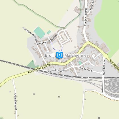
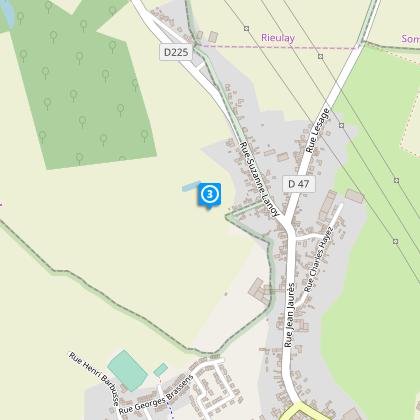
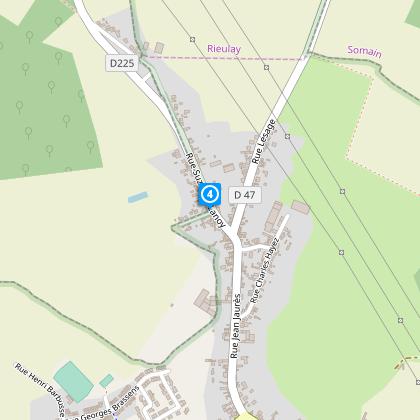
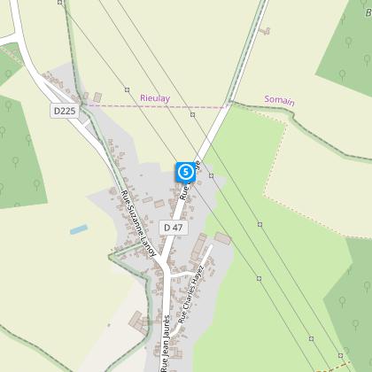
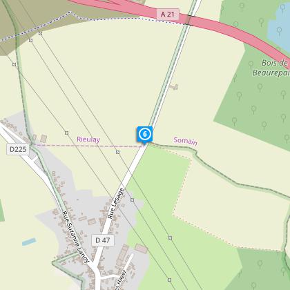
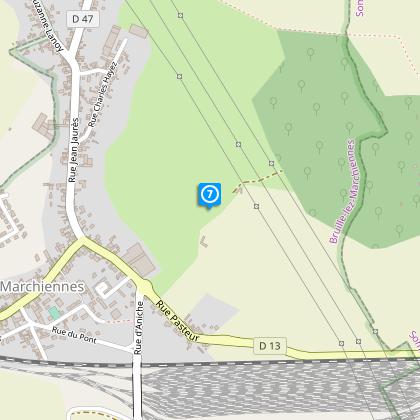
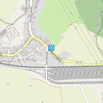
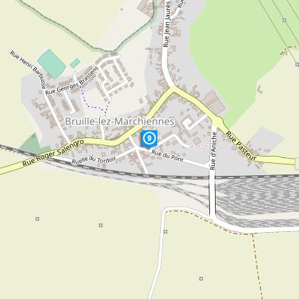
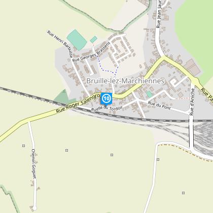
Map
Steps
Cirkwi brief's
Ratings and reviews
See around
Motte trail


Credit : Département du Nord
The Cirkwi brief
Explore Bruille-Lez-Marchiennes: A Tranquil Walk Through History
Offered by Nord Tourisme, the Sentier de la motte presents an effortless stroll that unveils the multifaceted charm of Bruille-Lez-Marchiennes and the sprawling landscapes of the Scarpe plain. This journey, marked by the subtle clue of yellow signs, transcends mere walking. It invites you to immerse yourself in the quietude of the village life, witness the serene beauty of nature, and perhaps, find yourself drawn into the stories that have unfolded in this quaint corner of the world. The simplicity of the route belies the richness of the experience, making every step an unspoken conversation with the land itself.
Technical Overview: Essential Facts
This route spans approximately 4.79 kilometers, with the highest elevation reached at 31 meters, and the lowest at 21 meters, indicative of a generally flat terrain that makes it accessible to walkers of all skill levels. Nord Tourisme's meticulous planning ensures a clear, yellow-marked trail, guiding explorers through the picturesque landscape without concern for losing their way. The minimal altitude variance confirms a leisurely walk with nominal physical demands, making it an ideal choice for a tranquil day out in nature, suitable for a wide audience seeking solace away from urban bustle.
Seasonal Advice for Wanderers
To fully appreciate the splendor of Sentier de la motte, timing your visit with the seasons is key. Spring brings a burst of color and life, making it an excellent time to witness the awakening of nature. Summer offers lush, fully bloomed landscapes, though mornings or late afternoons are recommended to avoid the midday heat. Autumn cloaks the countryside in fiery hues, providing a visually stunning backdrop for your walk. Winter, while colder, often has its own stark beauty, especially after a fresh snowfall. Regardless of the season, sturdy walking shoes and weather-appropriate clothing are essential for a comfortable experience.
Historical Heart of Nord-Pas-de-Calais
Bruille-Lez-Marchiennes, nestled in the historical region of Nord-Pas-de-Calais, embodies a rich tapestry of cultural and historical significance. Situated near the Scarpe plain, this village and its surrounding landscapes have witnessed numerous chapters of French history, from Roman occupation to the industrial revolution. The region's strategic location has made it a melting pot of cultures and traditions, a fact reflected in the architecture, local cuisines, and festivals. Walking through this territory offers more than scenic beauty; it's a journey through the layers of time, revealing the essence of Northern France.
Weather Patterns and Optimal Visiting Times
The climate in Bruille-Lez-Marchiennes, characteristic of Northern France, can be described as Oceanic. This ensures mild temperatures throughout the year with balanced rainfall, making the Sentier de la motte a viable option for outdoor activities in most months. However, the best periods to embark on this picturesque walk are late spring and early autumn, when the weather is pleasantly warm, and the risk of rain is lower. These conditions not only enhance the walking experience but also ensure that the natural and historical beauty of the region is seen in its best light.
Automatically generated.
Technical Information
Walking
Difficulty
Very easy
Duration
1h30mn
Dist.
4.8 km
Type of practice
Walking
Very easy
1h30mn
Show more
Altimetric profile
Starting point
Mairie
,
59490
BRUILLE-LEZ-MARCHIENNES
Lat : 50.3598014412Lng : 3.23458666088
Steps

Data author

Ratings and reviews
To see around