Alert
Alerts
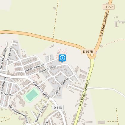
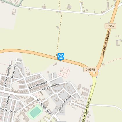
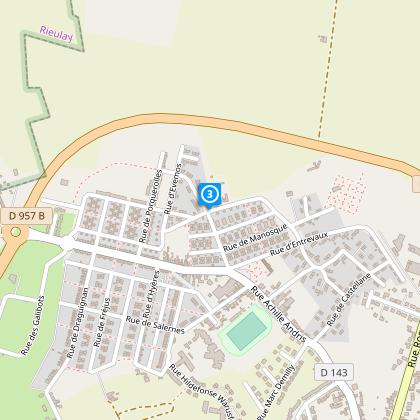
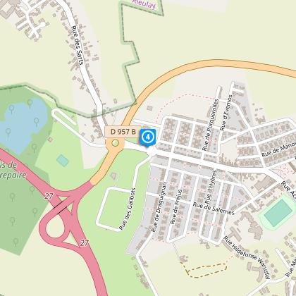
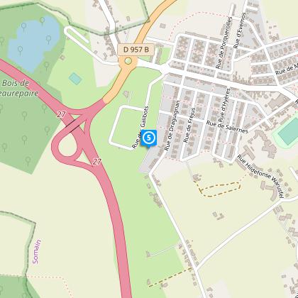
Beaurepaire Priory Circuit


The Cirkwi brief
Embark on a journey through the heart of the 'Chés Corons' with the Priory of Beaurepaire Circuit, crafted lovingly by Nord Tourisme. This effortless hike begins within the serene enclosure of the Priory, winding through landscapes that whisper tales of the past. As you follow the yellow markers, let the untouched lands guide you through a route that is yet to be claimed by modern cartography. The new settlements might not be on the map, but following the balisage ensures an exploration filled with discovery and serenity, offering an experience that marries the simplicity of walking with the richness of history.
Key Hike Information Summarized
The circuit covers a distance of approximately 3.84 km, with minimal altitude variations between 17 and 25 meters, ensuring an accessible trek for most. This undemanding path characterizes a less than significant incline, making it ideal for leisurely walks rather than challenging hikes. Although specifics like the total positive elevation are not provided, the gentle nature of the terrain suggests a comfortable journey for participants of all levels.
Seasonal Tips and Safety Advice
Regardless of the season, the Priory of Beaurepaire Circuit offers distinct charms. However, prepare for mud in wet seasons by wearing appropriate footwear. During summer, ensure sun protection. It’s crucial to stay hydrated, especially on warmer days. Although the path is well-marked, carrying a map is advisable for any unexpected detours due to new developments not yet on existing maps. Always inform someone of your hiking plan for safety.
Significance of SOMAIN in History
SOMAIN, situated within the Nord department of France, is more than just a start point for the Priory of Beaurepaire Circuit. This territory boasts a rich industrial heritage, particularly around the mining sector, which deeply influenced the region's culture and development. Walking through 'Chés Corons' gives a nod to the coal miners' settlements, connecting hikers not just to nature, but to the soulful history that sculpted the present-day landscape of Nord-Pas-de-Calais.
Climate Insights for Best Visits
The region around SOMAIN benefits from a temperate oceanic climate, with mild summers and cool winters. Rainfall is distributed evenly throughout the year, making any season a good time to visit. However, for the best natural lighting and mild weather, late spring to early autumn is recommended. Preparing for rain is advisable no matter when you plan your hike, ensuring that nothing dampens your adventurous spirit.