Alert
Alerts
Tour du Mont Chéry

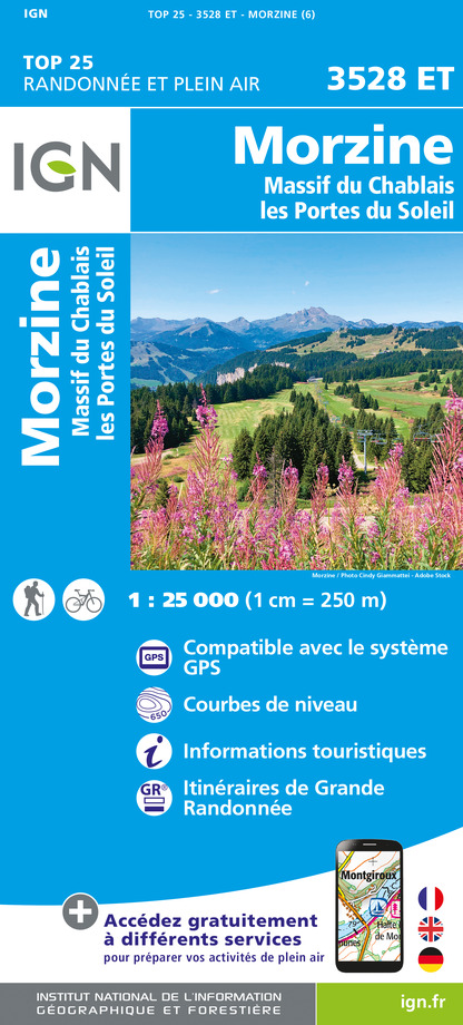
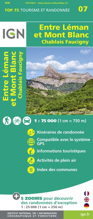
IGN cards


Description
Above the forest, you cross a large expanse of snow to return to the charming alpine village of Mont Caly with magnificent views of the Mont Blanc chain.
Leave the hamlet of Les Places (accessed via the route de Mont Caly from Les Gets). Take the forest path down to the hamlet of 'Bonnavaz', where you cross the first bridge. Then take the groomed track to the second bridge. The path now follows the winding track climbing into the forest and up to the Col de l'Encrenaz. Then climb the north slope of Mont Chéry with a lovely view of the Roc d'Enfer and Praz de Lys.
Attention: This is a long and difficult circuit and is not recommended when snow or fog are forecast. Why not contact a mountain guide to
Technical Information
Altimetric profile
Starting point
Additional information
Environments
Mountain location
Updated by
Office de Tourisme des Gets - 19/12/2025
www.lesgets.com
Report a problem
Open period
From 15/12/2024 to 13/04/2025.
Subject to favorable snow and weather conditions.
Contact
Email : lesgets@lesgets.com
Website : http://www.lesgets.com
Type of land
Non-groomed itinerary
Data author
The Cirkwi brief
Imagine setting out on a journey that not only tests your endurance but also rewards you with breathtaking alpine vistas. This is precisely what awaits you on the route proposed by Apidae, taking you on an unforgettable adventure above the treeline to the quaint alpine village of Mont-Caly. The journey offers a splendid view of the Mont Blanc massif, creating an atmosphere that is both exhilarating and serene. Set against the backdrop of the iconic Mont-Chéry, the route encapsulates the essence of the French Alps, offering a unique blend of challenge and beauty.
Brief Technical Overview for Hikers
This route presents a total length of 8.5 km with an elevation gain and loss of around 400 meters each. It begins and ends at the elevations of 1525l and 1386m, respectively, reaching a maximum altitude of 1596m. The journey is ranked as having a difficulty level of 3 out of 3, indicating a significant challenge that requires proper preparation. The path navigates through forested tracks, crosses bridges, and includes steep switchbacks, culminating in a steep ascent to the north side of Mont-Chéry. This route demands commendable physical fitness and mountaineering skills.
Seasonal Advice and Safety Tips
As a local guide, I recommend embarking on this journey during the warmer months when the trails are clear of snow, significantly from June to September. It is crucial to check the weather forecast before setting out, as the route is not advisable in foggy conditions or when snow is expected. Equipping oneself with suitable hiking gear, including good-quality snowshoes in winter, is non-negotiable. Always inform someone of your itinerary and consider partnering with a local mountain guide for the best experience. Remember, safety should always be your priority.
Exploring Les Gets: A Historical Insight
Les Gets, nestled in the heart of the Haute-Savoie region, is more than just a village; it's a historical gem. This area, lying within the vast Portes du Soleil ski domain, has evolved from a modest farming village to a renowned alpine resort without losing its authentic charm. The region's strategic location has made it a witness to various historical events, while its rich culture and traditions are celebrated year-round. Les Gets and its surroundings serve as a testament to the resilient spirit of the Alpine communities and their harmonious coexistence with nature.
Weather Patterns and Best Visit Times
Understanding Les Gets' Climate
Les Gets enjoys a temperate alpine climate, with distinct summer and winter seasons. Winter, from December to April, is cold and snowy, ideal for winter sports enthusiasts. In contrast, summers are mild and pleasant, perfect for hiking and exploring. The best time to visit, especially for hikers looking to tackle the Mont-Chéry route, is from late June to early September when the weather is most favorable. However, always be prepared for sudden weather changes typical of mountain environments.
