Alert
Alerts
Type of practice
Mountainbiking
Easy
Presentation
Description
Map
Ratings and reviews
See around
Boucle des Clarines (XC)
IGN cards

3528ETR - MORZINE RESISTANTE MASSIF-DU-CHABLAIS - LES PORTES DU SOLEIL
Editor : IGN
Collection : TOP 25 RÉSISTANTE
Scale : 1:25 000
17.20€

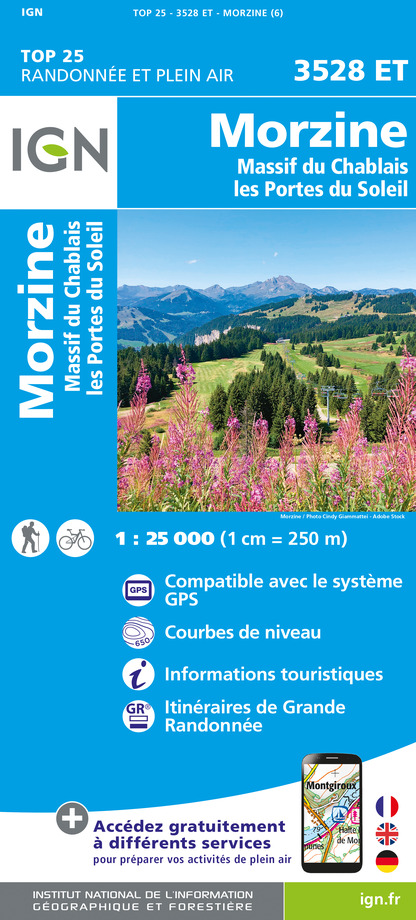
3528ET - MORZINE MASSIF-DU-CHABLAIS - LES PORTES DU SOLEIL
Editor : IGN
Collection : TOP 25 ET SÉRIE BLEUE
Scale : 1:25 000
13.90€

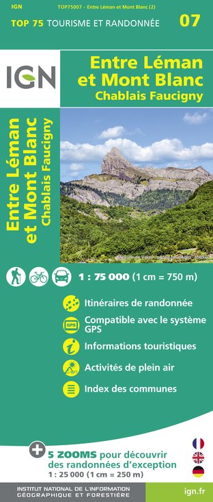
TOP75007 - ENTRE LÉMAN ET MONT BLANC CHABLAIS FAUCIGNY
Editor : IGN
Collection : TOP 75
Scale : 1:75 000
9.80€

TOP100D74 - HAUTE-SAVOIE ANNECY THONON-LES-BAINS MASSIF DU MONT BLANC CHAÎNE DES ARAVIS
Editor : IGN
Collection : TOP 100
Scale : 1:100 000
8.40€

202 JURA ALPES DU NORD
Editor : IGN
Collection : TOP 200
Scale : 1:200 000
6.80€

D25-39 DOUBS JURA
Editor : IGN
Collection : CARTES DÉPARTEMENTALES IGN
Scale : 1:150 000
5.90€

NR15 AUVERGNE-RHÔNE-ALPES RECTO/VERSO MASSIF ALPIN
Editor : IGN
Collection : CARTES RÉGIONALES IGN
Scale : 1:250 000
6.80€

NR14 AUVERGNE-RHÔNE-ALPES RECTO/VERSO MASSIF CENTRAL
Editor : IGN
Collection : CARTES RÉGIONALES IGN
Scale : 1:250 000
6.80€

SUISSE
Editor : IGN
Collection : DÉCOUVERTE DES PAYS DU MONDE IGN
Scale : 1:303 000
7.00€

EUROPE
Editor : IGN
Collection : DÉCOUVERTE DES PAYS DU MONDE IGN
Scale : 1:2 500 000
7.00€
Description
Walk in the pastures of the Mont Caly. Wide paths, ideal for family riding.
Difficulty: blue
Difference in high: +190m and -190m
Length: 5,7km
Technical Information
Mountainbiking
Difficulty
Easy
Dist.
5.7 km
Type of practice
Mountainbiking
Easy
Show more
Altimetric profile
Starting point
74260
Les Gets
Lat : 46.165543Lng : 6.658267
Date and time
- From 15/06/2026 to 15/09/2026
- From 15/06/2027 to 15/09/2027
Additional information
Environments
Mountain location
Updated by
Office de Tourisme des Gets - 30/01/2026
www.lesgets.com
Report a problem
Contact
Email : lesgets@lesgets.com
Website : http://www.lesgets.com
Data author
Ratings and reviews
To see around
