Alert
Alerts
The Sainte-Anne loop from the tourist office
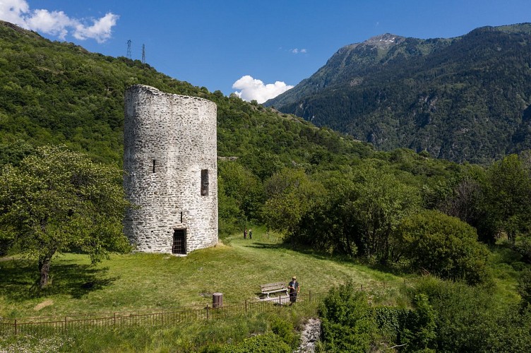
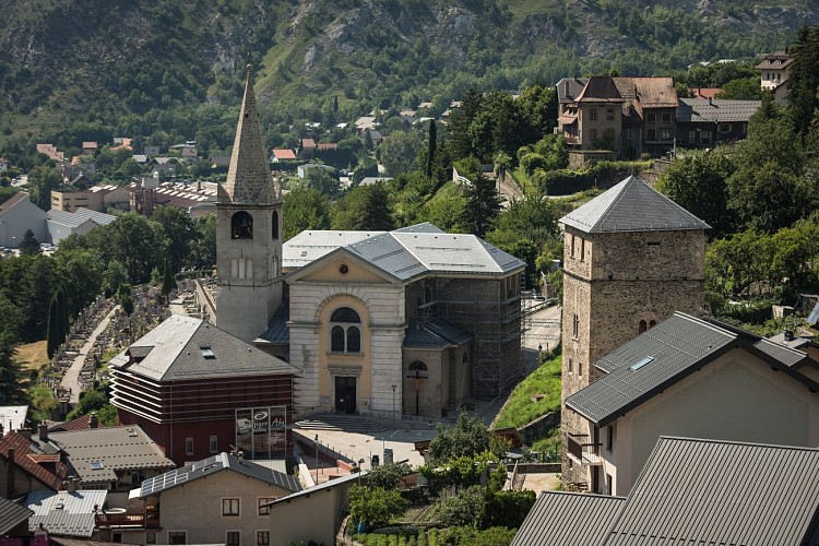
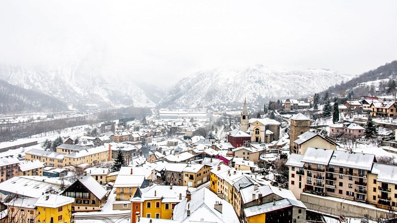
Description
Discover the balcony trails that wind their way through the first heights of Saint-Michel-de-Maurienne.
Who would have thought that, just a few dozen metres from the hustle and bustle of the valley floor, the heights of Saint-Michel-de-Maurienne would offer such spaces of calm and contemplation. This is what this itinerary offers, starting from the town center and taking you in just a few steps along the first paths once used by the inhabitants of the heights.
Technical Information
Altimetric profile
Starting point
Additional information
Updated by
Office du tourisme Intercommunal Maurienne Galibier - 17/08/2026
www.mauriennegalibier.com/fr/
Report a problem
Environments
Close to a motorway
In centre of town
Town location
Topo guides and map references
Topo guides references :
Topo on sale at the reception desks of local tourist offices (Valloire, Orelle, Valmeinier, Saint-Michel de Maurienne).
Map references :
Topo-Guide and carto-guide available from the Maurienne Galibier tourist office.
Open period
All year round daily.
Subject to favorable snow and weather conditions.
Type of land
Not suitable for strollers
Ground
Contact
Phone : 04 79 56 87 43
Email : accueil@maurienne-galibier.com
Website : https://www.mauriennegalibier.com/fr/
Guidebook with maps/step-by-step
Departure point: Maurienne Galibier Tourist Office -Saint-Michel-de-Maurienne
1/ Head towards the town hall via Rue Saint Marcellin
2/ Head for "Rue Beauregard", continue along the road and then the path towards "La Traversaz" as far as "Sous le Noiray".
3/ Take the road to the right, then, after the bend, turn right towards "Crêt Lazare".
4/ At Crêt Lazare, take the right-hand path down to Sainte-Anne, then continue on the balcony path towards "Saint-Michel-de-Maurienne - Mairie" to your starting point.
Animals
Yes
Data author
