Alert
Alerts
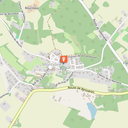
BALADE PANORAMIQUE AUTOUR DE MONTJOIRE
Description
A walk offering stunning 360° views from the Montjoire sentry walk.
Through fields and ridge paths, discover this little hilltop village and its panoramic viewpoint.
You can continue walking in the Coteaux du Girou along the 11 other trails in our selection of "Échappées Belles" walks.
Go to www.cc-coteaux-du-girou.fr/espace-tourisme/les-boucles-de-randonnee/
PR26 - Gué à 6, some steep climbs.
Technical Information
Altimetric profile
Starting point
Points of interest
Additional information
Elevation gain
55 (Low)
Start and end town
MONTJOIRE
Contact
Website : www.cc-coteaux-du-girou.fr/wp-content/uploads/2023/07/Fiche-sentier-1-montjoire.pdf
Tel : 05 34 27 63 75
Email : tourisme@coteauxdugirou.fr
Data producer
Contact : HAUTE-GARONNE TOURISME / COMMUNAUTE DE COMMUNES DES COTEAUX DU GIROU
Phone : 05 34 27 63 75
This information comes from the Haute-Garonne Departmental Tourism Network and is synchronized as part of the partnership between Cirkwi and Haute-Garonne Tourisme.
Data author
