Alert
Alerts
PUNTA D'URGHJAVARI
Description
Semi-shaded at the start, then sunny all the way to the summit at 1345 m altitude, for experienced walkers and hikers.
hiking.
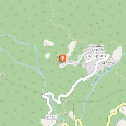
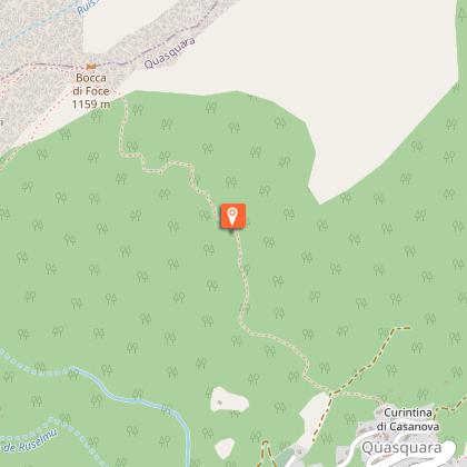
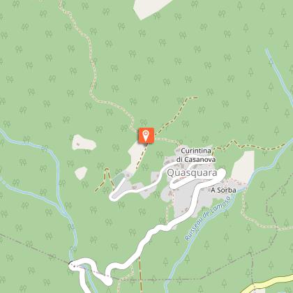
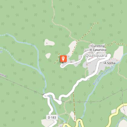
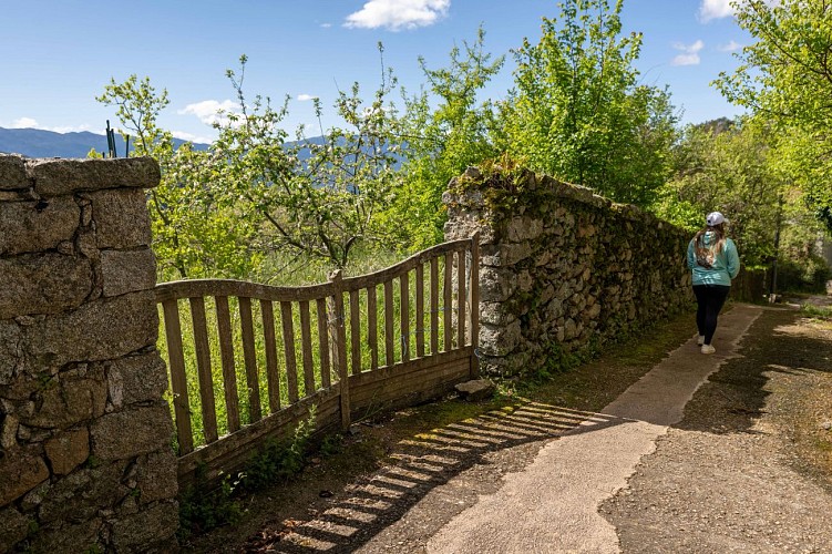
Itinerary: Head towards Sainte-Marie-Sicché and continue towards Quasquara as far as "Sarra Topu", at the top of the village. You can park at the signs for the Communauté des Communes. Then follow the orange markings.
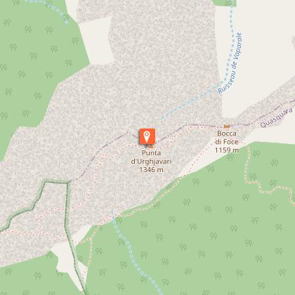
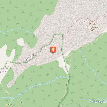
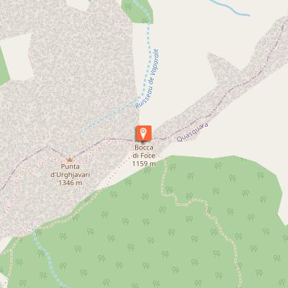
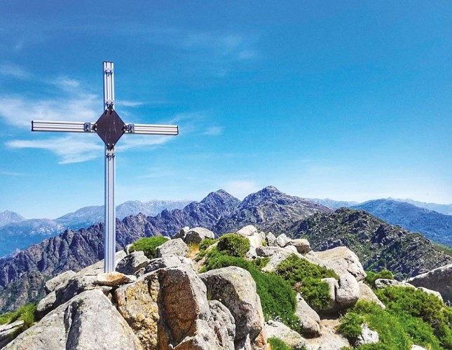
Description: Right from the start, you start to feel the change in altitude, which continues for a good hour's walk! After a few minutes, you cross two small streams, before emerging from the undergrowth and climbing up to a complete change of scenery: a marvellous panorama of the peaks opposite and the valley. At a crossroads with an arrow and orange markings, turn left slightly downhill. The junction for the loop to the summit of Punta Urghjavari is barely visible, indicated by a cairn. From here, it's about twenty minutes uphill, unmarked, to the summit with its statue of the Virgin Mary, its two crosses... and a breathtaking view of the Gulf of Ajaccio, the bay of Coti Chiavari and the surrounding villages (Campo, Frassetto, Quasquara...). The descent (which is rather sporty!) follows the same route.